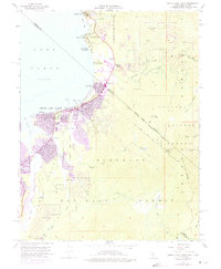
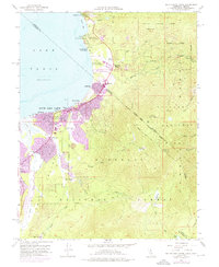
1955 Map of South Lake Tahoe
USGS Topo · Published 1975About this map
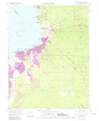
South Lake Tahoe and the surrounding shoreline communities of Stateline, Al Tahoe, and Bijou are captured during a period of significant growth at the lake's southern end. This 1955 survey, with 1969 revisions, documents the transition from smaller lakeside clusters like Bijou Park to an expanded urban footprint, including the development of Tahoe Valley and the Heavenly Valley Ski Lodge. The map traces the historical Von Schmidt Line and the Pioneer Trail, highlighting the area's legacy as a transportation corridor between the California interior and the Nevada territory.
Find a feature on this map
54 named features on this map. Tap any name to fly to it.
Don’t see what you’re looking for? This feature index may not catch every label — zoom into the map to look around manually.
Map Details
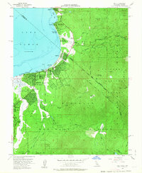
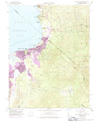
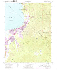
Editions of this 1955 South Lake Tahoe Map
7 editions found

Other maps of this area

1889 · Pyramid Peak
USGS Topo · 1:125,000

1889 · Markleeville
USGS Topo · 1:125,000

1891 · Carson
USGS Topo · 1:125,000

1891 · Markleeville
USGS Topo · 1:125,000

1891 · Truckee
USGS Topo · 1:125,000

1891 · Pyramid Peak
USGS Topo · 1:125,000

1893 · Carson
USGS Topo · 1:125,000

1893 · Markleeville
USGS Topo · 1:125,000

1893 · Truckee
USGS Topo · 1:125,000

1895 · Pyramid Peak
USGS Topo · 1:125,000