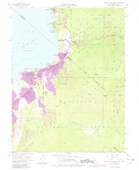
1955 Map of South Lake Tahoe
USGS Topo · Published 1983About this map
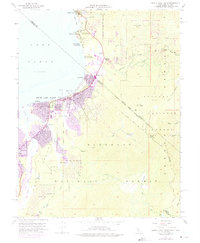
Lake Tahoe serves as the dominant backdrop for this mid-century survey, documenting the post-war transition of the south shore from a seasonal retreat into a permanent alpine hub. The map highlights the concentration of early development at Al Tahoe and Bijou, alongside the rise of winter sports infrastructure at the Heavenly Valley Ski Lodge. A notable detail is the Sierra House (Site), marking the historic location of a famed pioneer-era waystation on the route to the Comstock Lode. The survey also captures the evolving community services of the era, from Barton Memorial Hospital and South Tahoe High Sch to the lakeside 4H Club Camp (Univ of Nevada). The interstate boundary between California and Nevada bisects the developing corridor at Stateline, where the burgeoning local economy began to take its modern form.
Find a feature on this map
45 named features on this map. Tap any name to fly to it.
Don’t see what you’re looking for? This feature index may not catch every label — zoom into the map to look around manually.
Map Details
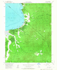
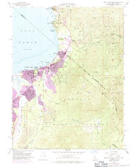
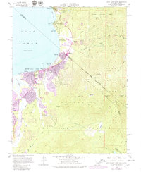
Editions of this 1955 South Lake Tahoe Map
7 editions found

Other maps of this area

1889 · Pyramid Peak
USGS Topo · 1:125,000

1889 · Markleeville
USGS Topo · 1:125,000

1891 · Carson
USGS Topo · 1:125,000

1891 · Markleeville
USGS Topo · 1:125,000

1891 · Truckee
USGS Topo · 1:125,000

1891 · Pyramid Peak
USGS Topo · 1:125,000

1893 · Carson
USGS Topo · 1:125,000

1893 · Markleeville
USGS Topo · 1:125,000

1893 · Truckee
USGS Topo · 1:125,000

1895 · Pyramid Peak
USGS Topo · 1:125,000