
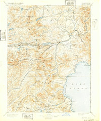
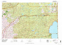
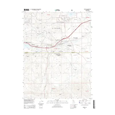
1891 Map of Truckee
USGS Topo · Published 1891About this map
Central Pacific Railroad tracks dominate the northern landscape of this 1889 survey, cresting at Donner Pass and descending through Summit Valley toward the high-altitude hub of Truckee. This era of the High Sierra reveals a working landscape where industry and early recreation meet, evidenced by several sawmills and the Prosser House near Boca. Along the western shores of Lake Tahoe, early settlements like Tahoe City, McKinney, and Bellevue are established, linked by the geography of McKinney Bay and Cornelian Bay. Further south, the high peaks of the Sierra divide the Placer and El Dorado county lines, with remote landmarks such as Rubicon Springs and the South Fork American River marking the edge of the wilderness before the widespread development of the modern Tahoe basin.
Find a feature on this map
94 named features on this map. Tap any name to fly to it.
Don’t see what you’re looking for? This feature index may not catch every label — zoom into the map to look around manually.
Map Details
Editions of this 1891 Truckee Map
This is the sole edition of this map. No revisions or reprints were ever made.
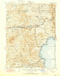
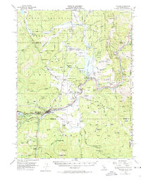
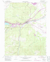
Historical Maps of Reno Through Time
14 maps found
1891 Truckee
Nevada County, CA

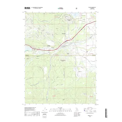
1893 Truckee
Nevada County, CA
1895 Truckee
Nevada County, CA

1932 Truckee
Nevada County, CA
1940 Truckee
Nevada County, CA
1955 Truckee
Nevada County, CA
1955 Truckee
Nevada County, CA
1977 Truckee
Nevada County, CA
1992 Truckee
Nevada County, CA
2000 Truckee
Nevada County, CA
2012 Truckee
Nevada County, CA
2015 Truckee
Nevada County, CA
2018 Truckee
Nevada County, CA
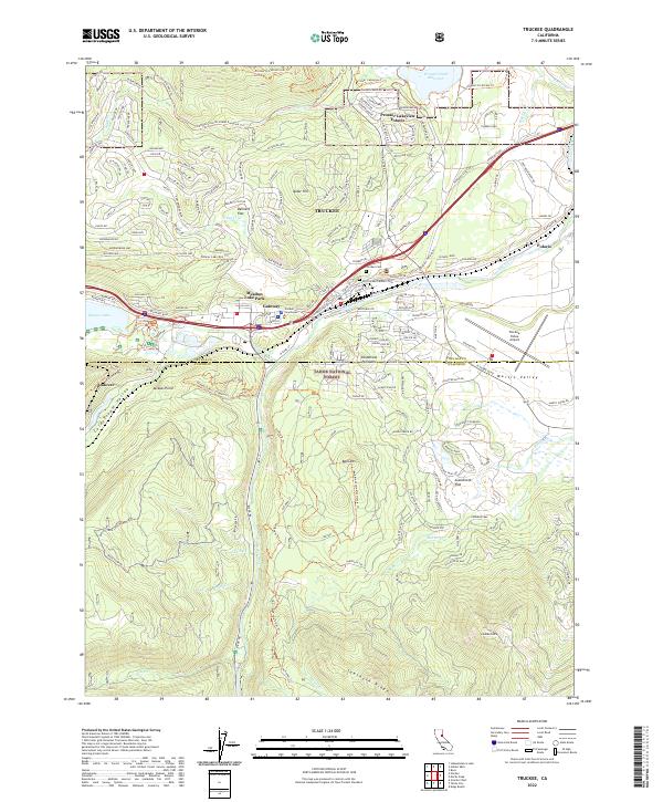
2022 Truckee
Nevada County, CA