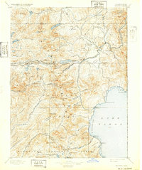
1895 Map of Truckee
USGS Topo · Published 1932About this map
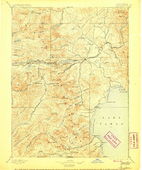
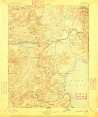
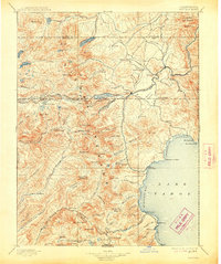
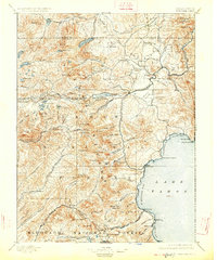
The Southern Pacific Railroad cuts through the high Sierra Nevada, following the critical corridor past Donner Lake and over the summit at Soda Springs Station. This late 19th-century landscape is defined by its transit and timber economy, evidenced by several Sawmill operations scattered along Prosser Creek and throughout the Tahoe National Forest. The settlement of Truckee serves as a central hub for the region, while smaller outposts like Boca and Bronco dot the rail line leading toward the state boundary.
Find a feature on this map
138 named features on this map. Tap any name to fly to it.
Don’t see what you’re looking for? This feature index may not catch every label — zoom into the map to look around manually.
Map Details
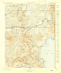
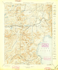
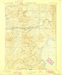
Editions of this 1895 Truckee Map
9 editions found

Other maps of this area

1889 · Pyramid Peak
USGS Topo · 1:125,000

1889 · Markleeville
USGS Topo · 1:125,000

1890 · Sierraville
USGS Topo · 1:125,000

1891 · Downieville
USGS Topo · 1:125,000

1891 · Carson
USGS Topo · 1:125,000

1891 · Markleeville
USGS Topo · 1:125,000

1891 · Colfax
USGS Topo · 1:125,000

1891 · Truckee
USGS Topo · 1:125,000

1891 · Reno
USGS Topo · 1:125,000

1891 · Placerville
USGS Topo · 1:125,000