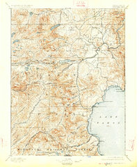
1895 Map of Truckee
USGS Topo · Published 1926About this map
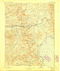
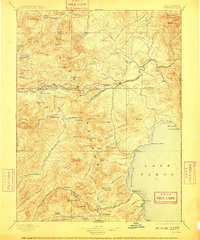
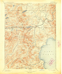
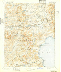
Donner Pass serves as the focal point for transcontinental transit in this late 19th-century survey of the northern Sierra Nevada. The Central Pacific R. R. follows the high terrain through Summit Valley, passing critical stops like Soda Springs Station and the mountain town of Truckee. The landscape is a network of early industrial activity, shown by multiple Sawmill sites along Prosser Creek and the Truckee River, supporting the timber needs of the growing railroad and nearby mining districts. To the south, the shoreline of Lake Tahoe is sparsely settled with landings such as McKinney, Bellevue, and Tahoe Lake Outlet. This map documents a period when the wilderness of the Tahoe National Forest and Eldorado National Forest was being systematically partitioned by surveyors, even as traditional remote locations like Wentworth Springs and Jacobsen remained isolated at the ends of mountain trails.
Find a feature on this map
116 named features on this map. Tap any name to fly to it.
Don’t see what you’re looking for? This feature index may not catch every label — zoom into the map to look around manually.
Map Details
Editions of this 1895 Truckee Map
9 editions found

Other maps of this area

1889 · Pyramid Peak
USGS Topo · 1:125,000

1889 · Markleeville
USGS Topo · 1:125,000

1890 · Sierraville
USGS Topo · 1:125,000

1891 · Downieville
USGS Topo · 1:125,000

1891 · Carson
USGS Topo · 1:125,000

1891 · Markleeville
USGS Topo · 1:125,000

1891 · Colfax
USGS Topo · 1:125,000

1891 · Truckee
USGS Topo · 1:125,000

1891 · Reno
USGS Topo · 1:125,000

1891 · Placerville
USGS Topo · 1:125,000