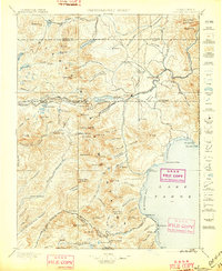
1895 Map of Truckee
USGS Topo · Published 1897About this map
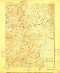
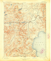
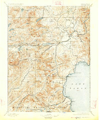
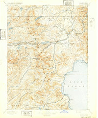
Truckee serves as the central hub of this High Sierra landscape, where the Central Pacific RR and the Ogden Line traverse the formidable granite passes. The rail corridor skirts the north shore of Donner Lake and crosses Donner Pass, tracing a route of immense engineering significance through Summit Valley. Beyond the tracks, a network of early resorts and watering holes like Prosser House, Soda Springs Station, and Rubicon Springs highlights the region's transition from a rugged wilderness into a destination for early mountain tourism. Several sawmills are situated near the Truckee River and Boca, signaling the active timber industry of the late nineteenth century. To the south, the shoreline of Lake Tahoe appears at McKinney Bay, with scattered settlements like McKinney and Bellevue establishing a footprint along the water's edge long before modern development transformed the basin.
Find a feature on this map
138 named features on this map. Tap any name to fly to it.
Don’t see what you’re looking for? This feature index may not catch every label — zoom into the map to look around manually.
Map Details
Editions of this 1895 Truckee Map
9 editions found

Other maps of this area

1889 · Pyramid Peak
USGS Topo · 1:125,000

1889 · Markleeville
USGS Topo · 1:125,000

1890 · Sierraville
USGS Topo · 1:125,000

1891 · Downieville
USGS Topo · 1:125,000

1891 · Carson
USGS Topo · 1:125,000

1891 · Markleeville
USGS Topo · 1:125,000

1891 · Colfax
USGS Topo · 1:125,000

1891 · Truckee
USGS Topo · 1:125,000

1891 · Reno
USGS Topo · 1:125,000

1891 · Placerville
USGS Topo · 1:125,000