
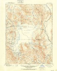
1890 Map of Sierraville
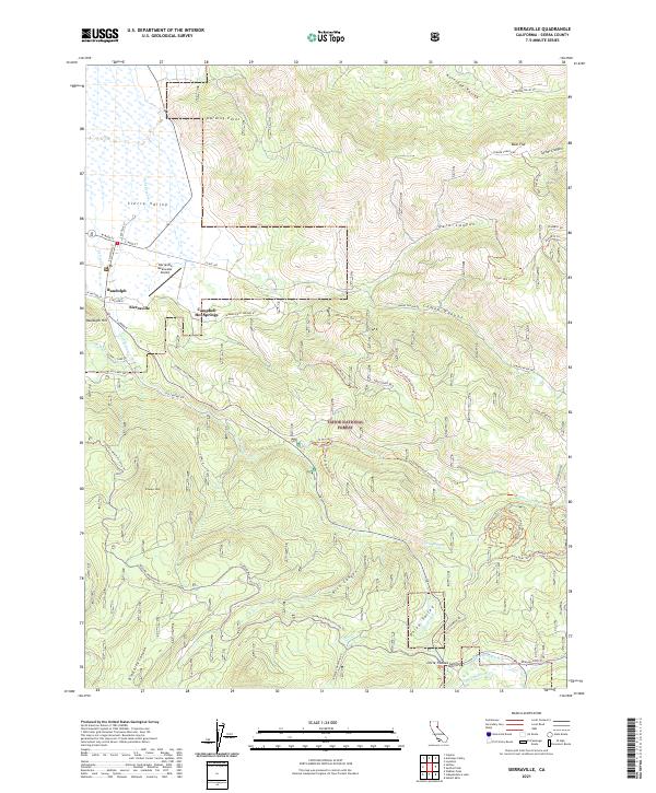
USGS Topo · Published 1955About this map
Sierra Valley dominates the heart of this late-nineteenth-century landscape, serving as a vast high-altitude basin surrounded by the complex terrain of the Plumas and Tahoe national forests. The settlement pattern of the 1890s is clearly defined by small agricultural and timber communities such as Sierraville, Loyalton, and Sattley clustered at the valley's edge. This era reflects the vital role of early transportation, evidenced by the Nevada California and Oregon Railway winding through Long Valley and crossing the Sierra Nevada crest at Beckwourth Pass. The map details the transition from the rugged drainage of the Middle Fork Feather River in the west to the arid stretches of the California-Nevada border. Evidence of local industry and social life is preserved through labels for several scattered Sawmills and the Fair Grounds near Sierraville, illustrating the balanced economy of ranching, logging, and community gathering in this mountain frontier.
Find a feature on this map
50 named features on this map. Tap any name to fly to it.
Don’t see what you’re looking for? This feature index may not catch every label — zoom into the map to look around manually.
Map Details
Editions of this 1890 Sierraville Map
This is the sole edition of this map. No revisions or reprints were ever made.
Historical Maps of Reno Through Time
10 maps found
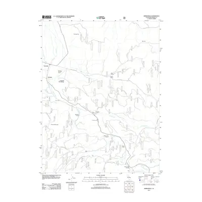
1890 Sierraville
Sierra County, CA

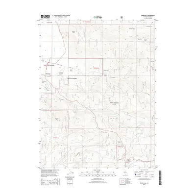
1892 Sierraville
Sierra County, CA
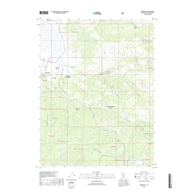
1894 Sierraville
Sierra County, CA
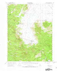
1955 Sierraville
Sierra County, CA
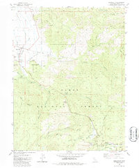
1981 Sierraville
Sierra County, CA
2000 Sierraville
Sierra County, CA
2012 Sierraville
Sierra County, CA
2015 Sierraville
Sierra County, CA
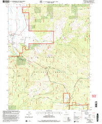
2018 Sierraville
Sierra County, CA
2021 Sierraville
Sierra County, CA