
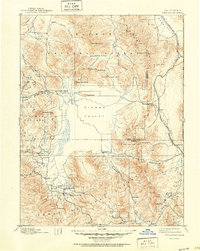
1892 Map of Sierraville
USGS Topo · Published 1892About this map
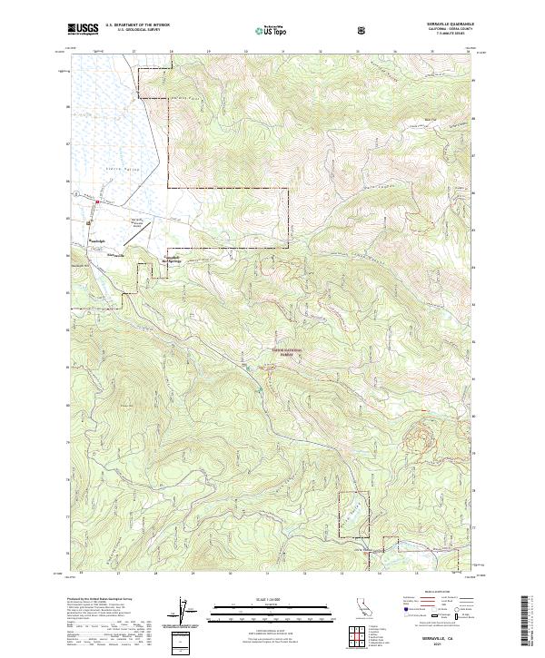
Sierraville sits at the southern edge of the expansive Sierra Valley, serving as a central hub for the high-altitude agricultural and timber region in the late nineteenth century. This survey, conducted under Director J.W. Powell, illustrates the early transportation network of the high Sierras, including the California Nevada and Oregon Railway skirting the eastern peaks and the critical passage through Beckwith Pass. Small settlements and post offices like Sattley, Loyalton, and Beckwith are distributed along the valley floor, while the surrounding mountains are marked by early industrial activity including a Sawmill on Dog Creek and the Fair Grounds north of the county seat. The map details the transition from the flat meadowlands of the valley to the surrounding ranges, featuring landmarks such as Adams Peak, Dixie Mountain, and the Yuba Pass crossing, which provided essential routes for early settlers and miners traveling between the mountain valleys.
Find a feature on this map
46 named features on this map. Tap any name to fly to it.
Don’t see what you’re looking for? This feature index may not catch every label — zoom into the map to look around manually.
Map Details
Editions of this 1892 Sierraville Map
This is the sole edition of this map. No revisions or reprints were ever made.
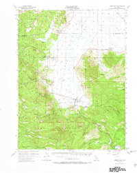
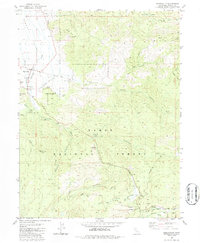
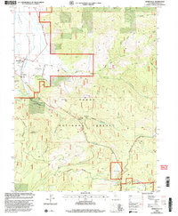
Historical Maps of Reno Through Time
10 maps found

1890 Sierraville
Sierra County, CA
1892 Sierraville
Sierra County, CA
1894 Sierraville
Sierra County, CA
1955 Sierraville
Sierra County, CA
1981 Sierraville
Sierra County, CA
2000 Sierraville
Sierra County, CA
2012 Sierraville
Sierra County, CA
2015 Sierraville
Sierra County, CA
2018 Sierraville
Sierra County, CA
2021 Sierraville
Sierra County, CA