
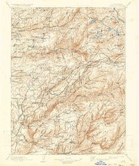
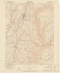
1891 Map of Colfax
USGS Topo · Published 1891About this map
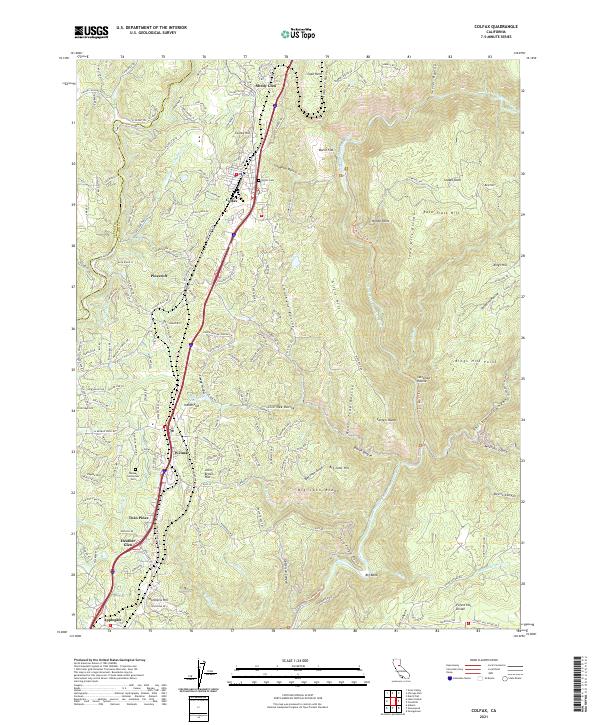
North Bloomfield and the surrounding hydraulic mining districts of the late nineteenth century define this landscape at the heart of California's Gold Country. The survey captures a complex network of industrial and social development, ranging from established towns like North Columbia and Washington to specialized sites like the Alaska Mine and the Malakoff diggings. The Southern Pacific Railroad snakes through the high country past Emigrant Gap, illustrating the vital transportation corridor connecting the Sierra Nevada to the Sacramento Valley.
Find a feature on this map
227 named features on this map. Tap any name to fly to it.
Don’t see what you’re looking for? This feature index may not catch every label — zoom into the map to look around manually.
Map Details
Editions of this 1891 Colfax Map
This is the sole edition of this map. No revisions or reprints were ever made.
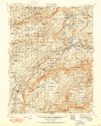
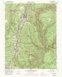
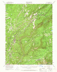
Historical Maps of Colfax Through Time
14 maps found
1891 Colfax
Placer County, CA

1892 Colfax
Placer County, CA

1894 Colfax
Placer County, CA

1898 Colfax
Placer County, CA

1900 Colfax
Placer County, CA
1902 Colfax
Placer County, CA
1938 Colfax
Placer County, CA
1949 Colfax
Placer County, CA
1950 Colfax
Placer County, CA
1951 Colfax
Placer County, CA
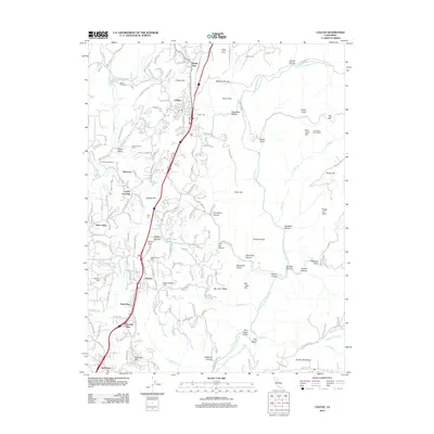
2012 Colfax
Placer County, CA
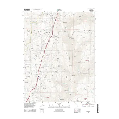
2015 Colfax
Placer County, CA
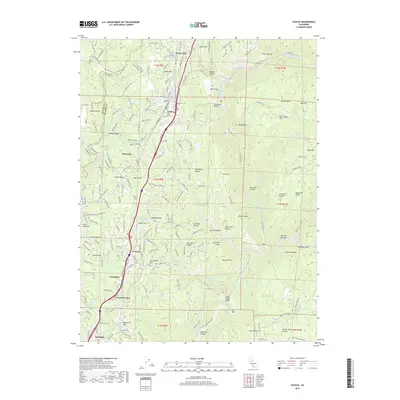
2018 Colfax
Placer County, CA
2021 Colfax
Placer County, CA