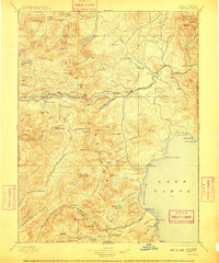
1895 Map of Truckee
USGS Topo · Published 1910About this map
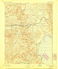
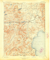
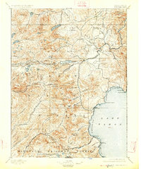
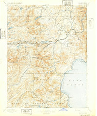
Truckee serves as the central hub of this late 19th-century landscape, where the Southern Pacific Railroad cuts through the Sierra Nevada range alongside the historic Central Pacific Railroad. The map reveals a high-altitude network of early settlements and resource-driven outposts, including Boca and Bronco along the Truckee River. To the south, the northwestern shoreline of Lake Tahoe is detailed with early points of interest like McKinney and the Tahoe Lake Outlet.
Find a feature on this map
130 named features on this map. Tap any name to fly to it.
Don’t see what you’re looking for? This feature index may not catch every label — zoom into the map to look around manually.
Map Details
Editions of this 1895 Truckee Map
9 editions found

Other maps of this area

1889 · Pyramid Peak
USGS Topo · 1:125,000

1889 · Markleeville
USGS Topo · 1:125,000

1890 · Sierraville
USGS Topo · 1:125,000

1891 · Downieville
USGS Topo · 1:125,000

1891 · Carson
USGS Topo · 1:125,000

1891 · Markleeville
USGS Topo · 1:125,000

1891 · Colfax
USGS Topo · 1:125,000

1891 · Truckee
USGS Topo · 1:125,000

1891 · Reno
USGS Topo · 1:125,000

1891 · Placerville
USGS Topo · 1:125,000