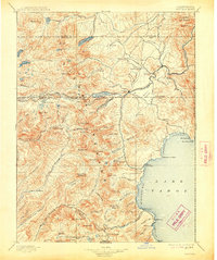
1895 Map of Truckee
USGS Topo · Published 1914About this map
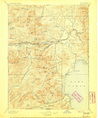
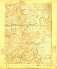
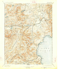
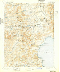
Truckee and the surrounding High Sierra peaks define this late 19th-century landscape, centered on the critical transportation corridor of the Southern Pacific and Central Pacific railroads. The topography is dominated by the steep ascent toward Donner Pass, with significant waypoints like Summit Valley and Soda Springs Station marking the path of early transcontinental travel. To the east, Donner Lake and the Truckee River show the region’s hydrology before modern developments altered the flow of the Little Truckee River and its tributaries.
Find a feature on this map
133 named features on this map. Tap any name to fly to it.
Don’t see what you’re looking for? This feature index may not catch every label — zoom into the map to look around manually.
Map Details
Editions of this 1895 Truckee Map
9 editions found

Other maps of this area

1889 · Pyramid Peak
USGS Topo · 1:125,000

1889 · Markleeville
USGS Topo · 1:125,000

1890 · Sierraville
USGS Topo · 1:125,000

1891 · Downieville
USGS Topo · 1:125,000

1891 · Carson
USGS Topo · 1:125,000

1891 · Markleeville
USGS Topo · 1:125,000

1891 · Colfax
USGS Topo · 1:125,000

1891 · Truckee
USGS Topo · 1:125,000

1891 · Reno
USGS Topo · 1:125,000

1891 · Placerville
USGS Topo · 1:125,000