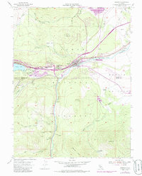
1955 Map of Truckee
USGS Topo · Published 1986About this map
Truckee serves as the central hub of this Sierra Nevada landscape, positioned where the Southern Pacific railroad parallels the Truckee River. The map documents a period of mid-century infrastructure growth, showing the development of Gateway and the Tahoe Forest Hospital, while preserving the locations of earlier regional industry such as the Old Schaeffer Mill (Site) and Old Schaeffer Camp (Site). The surrounding terrain is defined by significant landmarks like Donner Lake and the Donner Memorial State Park to the west, and the broad expanse of Martis Valley to the east. Local landmarks like the Joerger Ranch and the Tahoe-Truckee HS highlight the area's transition into a more established residential and recreation-focused community. Significant water features including Prosser Creek Reservoir and Martis Creek illustrate the managed water resources vital to the high country's development.
Find a feature on this map
46 named features on this map. Tap any name to fly to it.
Don’t see what you’re looking for? This feature index may not catch every label — zoom into the map to look around manually.
Map Details
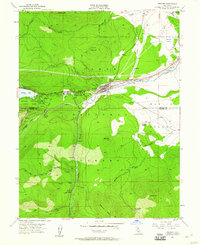
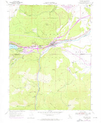
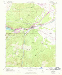
Editions of this 1955 Truckee Map
5 editions found
Other maps of this area

1891 · Truckee
USGS Topo · 1:125,000

1893 · Truckee
USGS Topo · 1:125,000

1895 · Truckee
USGS Topo · 1:125,000

1932 · Truckee
USGS Topo · 1:96,000

1940 · Truckee
USGS Topo · 1:125,000

1953 · Granite Chief
USGS Topo · 1:24,000

1953 · Granite Chief
USGS Topo · 1:62,500

1955 · Truckee
USGS Topo · 1:24,000
1955 · Kings Beach
USGS Topo · 1:24,000
1955 · Tahoe City
USGS Topo · 1:24,000