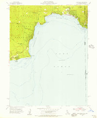
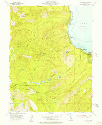
1955 Map of Kings Beach
USGS Topo · Published 1956About this map
Lake Tahoe dominates the southern landscape of this 1950s survey, illustrating the mid-century development of the north shore. The shoreline is punctuated by emerging residential and recreational centers like Kings Beach and Tahoe Vista, while the interior remains largely defined by the Tahoe National Forest. At the eastern edge, the state boundary between California and Nevada cuts through Crystal Bay and across Stateline Pt, marking a clear division in the lakeside landscape. Cultural landmarks of the era are clearly visible, including the Brockway Golf Club and a Fish Hatchery near Lake Forest. The presence of small-scale infrastructure like the Sewage Disposal plant and various Water Tanks suggests a community in transition, balancing increasing tourism with permanent utility needs. Prominent geographic features such as Dollar Point and Flick Point define the contours of Agate Bay and Carnelian Bay.
Find a feature on this map
30 named features on this map. Tap any name to fly to it.
Don’t see what you’re looking for? This feature index may not catch every label — zoom into the map to look around manually.
Map Details
Editions of this 1955 Kings Beach Map
4 editions found
Other maps of this area

1891 · Carson
USGS Topo · 1:125,000

1891 · Truckee
USGS Topo · 1:125,000

1893 · Carson
USGS Topo · 1:125,000

1893 · Truckee
USGS Topo · 1:125,000

1895 · Truckee
USGS Topo · 1:125,000

1932 · Truckee
USGS Topo · 1:96,000

1940 · Truckee
USGS Topo · 1:125,000

1950 · Mt. Rose
USGS Topo · 1:62,500

1952 · Mt. Rose
USGS Topo · 1:62,500
1955 · Homewood
USGS Topo · 1:24,000