
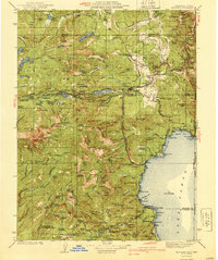
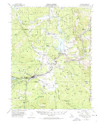
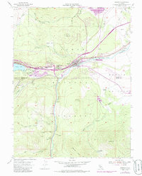
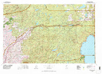
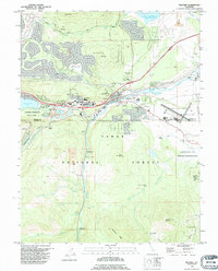
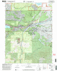
1940 Map of Truckee
USGS Topo · Published 1940About this map
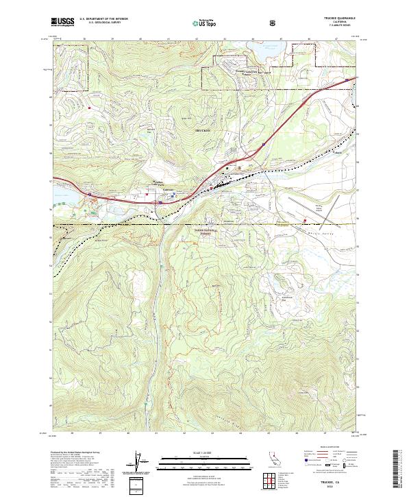
Truckee serves as the central hub of this High Sierra landscape, where the Southern Pacific railroad and the Victory Highway converge to navigate the formidable Great Basin Watershed Divide. The map details a transition from the industrial timber and milling operations at Hobart Mills and Union Mills to the burgeoning recreational identity of the Lake Tahoe shoreline. Along the western edge of the lake, established resorts and landings such as Chambers Lodge, Homewood, and Brockway are clearly marked, alongside the scientific landmark at Observatory Point.
Find a feature on this map
194 named features on this map. Tap any name to fly to it.
Don’t see what you’re looking for? This feature index may not catch every label — zoom into the map to look around manually.
Map Details
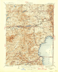
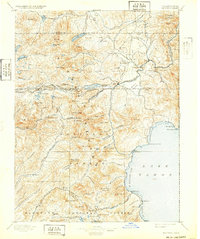
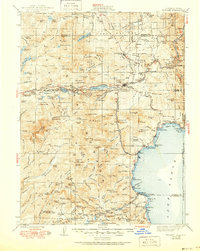
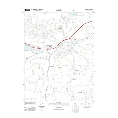
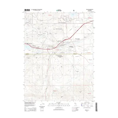
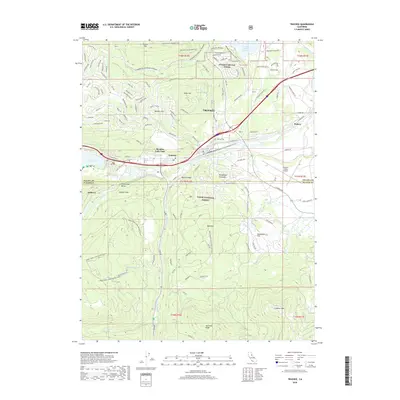
Editions of this 1940 Truckee Map
4 editions found
Historical Maps of Reno Through Time
14 maps found

1891 Truckee
Nevada County, CA

1893 Truckee
Nevada County, CA
1895 Truckee
Nevada County, CA

1932 Truckee
Nevada County, CA
1940 Truckee
Nevada County, CA
1955 Truckee
Nevada County, CA
1955 Truckee
Nevada County, CA
1977 Truckee
Nevada County, CA
1992 Truckee
Nevada County, CA
2000 Truckee
Nevada County, CA
2012 Truckee
Nevada County, CA
2015 Truckee
Nevada County, CA
2018 Truckee
Nevada County, CA
2022 Truckee
Nevada County, CA