
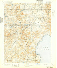
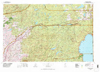
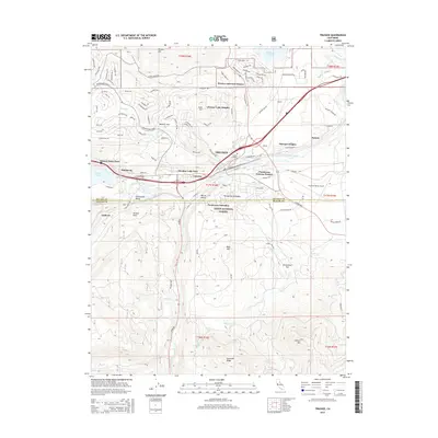
1893 Map of Truckee
USGS Topo · Published 1893About this map
The Central Pacific Railroad defines the high mountain corridor of this late 19th-century survey, tracing a critical path through Summit Valley and over the legendary Donner Pass. This transit network supported early alpine settlements such as Soda Springs Station and the industrial hub at Truckee, where the Truckee River begins its eastward flow. Multiple Sawmill sites are scattered through the timber-rich drainage of Sawmill Creek and near Prosser, signaling the era's active logging economy.
Find a feature on this map
128 named features on this map. Tap any name to fly to it.
Don’t see what you’re looking for? This feature index may not catch every label — zoom into the map to look around manually.
Map Details
Editions of this 1893 Truckee Map
This is the sole edition of this map. No revisions or reprints were ever made.
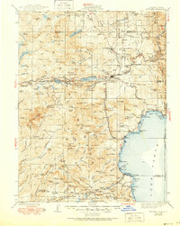
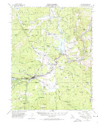
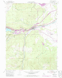
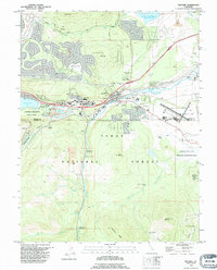
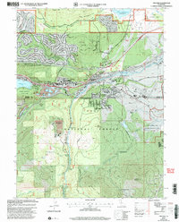
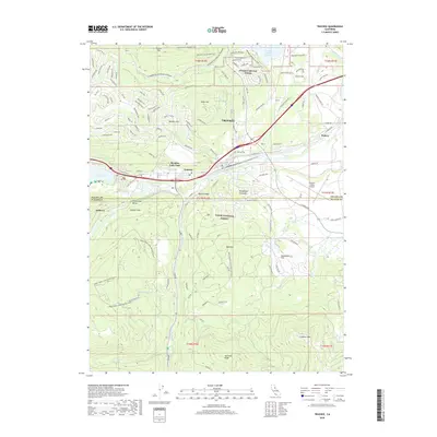
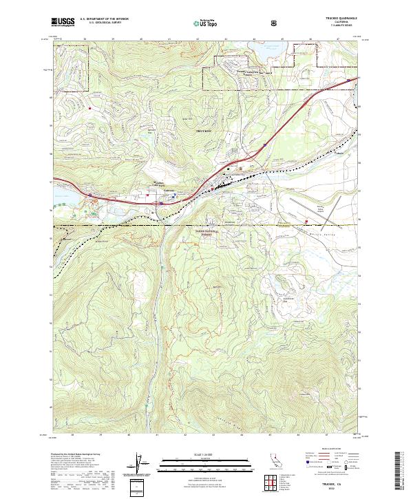
Historical Maps of Reno Through Time
14 maps found

1891 Truckee
Nevada County, CA
1893 Truckee
Nevada County, CA
1895 Truckee
Nevada County, CA

1932 Truckee
Nevada County, CA
1940 Truckee
Nevada County, CA
1955 Truckee
Nevada County, CA
1955 Truckee
Nevada County, CA
1977 Truckee
Nevada County, CA
1992 Truckee
Nevada County, CA
2000 Truckee
Nevada County, CA
2012 Truckee
Nevada County, CA
2015 Truckee
Nevada County, CA
2018 Truckee
Nevada County, CA
2022 Truckee
Nevada County, CA