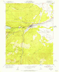
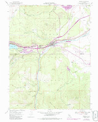
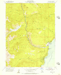
1955 Map of Truckee
USGS Topo · Published 1956About this map
The mountain town of Truckee serves as the hub for this mid-century survey, situated at the confluence of the Truckee River and Trout Creek. The landscape reflects a legacy of high-sierra passage and settlement, with the Southern Pacific railroad cutting through the valley floor and connecting small locales like Gateway, Polaris, and Andover. Local history and the tragic 1846 trek are preserved at Donner Memorial State Park, which explicitly marks the Donner Monument along with the historical Murphy Cabin and Graves Cabin locations near the eastern shore of Donner Lake.
Find a feature on this map
48 named features on this map. Tap any name to fly to it.
Don’t see what you’re looking for? This feature index may not catch every label — zoom into the map to look around manually.
Map Details
Editions of this 1955 Truckee Map
5 editions found
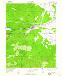
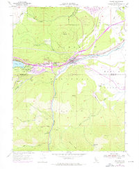
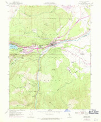
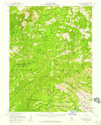
Other maps of this area

1891 · Truckee
USGS Topo · 1:125,000

1893 · Truckee
USGS Topo · 1:125,000

1895 · Truckee
USGS Topo · 1:125,000

1932 · Truckee
USGS Topo · 1:96,000

1940 · Truckee
USGS Topo · 1:125,000
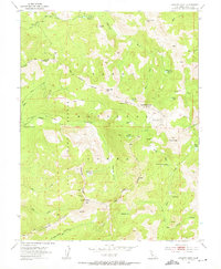
1953 · Granite Chief
USGS Topo · 1:24,000
1953 · Granite Chief
USGS Topo · 1:62,500
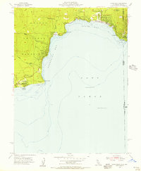
1955 · Kings Beach
USGS Topo · 1:24,000
1955 · Tahoe City
USGS Topo · 1:24,000
1955 · Donner Pass
USGS Topo · 1:62,500