
1953 Map of Granite Chief
USGS Topo · Published 1959About this map
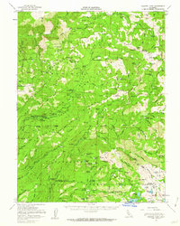
Tahoe National Forest landscape in the mid-1950s is defined by the deep canyons of the North Fork and Middle Fork American River, where early mining operations like the Trinidad Mine, Walker Mine, and Placer Queen Mine dot the steep terrain. This area, spanning the border of Placer and El Dorado Counties, reflects a transition from industrial resource extraction to backcountry recreation. The presence of numerous designated camps such as Handy Camp, Talbot Campground, and Poppy Campground suggests an early organized forest management approach to tourism near high-altitude landmarks like Granite Chief and Squaw Peak.
Find a feature on this map
130 named features on this map. Tap any name to fly to it.
Don’t see what you’re looking for? This feature index may not catch every label — zoom into the map to look around manually.
Map Details
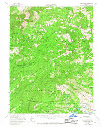
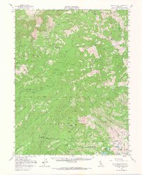
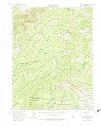
Editions of this 1953 Granite Chief Map
5 editions found
Other maps of this area

1889 · Pyramid Peak
USGS Topo · 1:125,000

1891 · Colfax
USGS Topo · 1:125,000

1891 · Truckee
USGS Topo · 1:125,000

1891 · Placerville
USGS Topo · 1:125,000

1891 · Pyramid Peak
USGS Topo · 1:125,000

1892 · Placerville
USGS Topo · 1:125,000

1892 · Colfax
USGS Topo · 1:125,000

1893 · Placerville
USGS Topo · 1:125,000

1893 · Truckee
USGS Topo · 1:125,000

1894 · Colfax
USGS Topo · 1:125,000