
1893 Map of Placerville
USGS Topo · Published 1893About this map
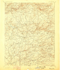
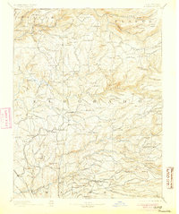
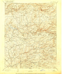
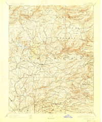
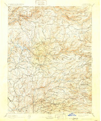
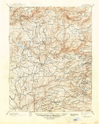
Placerville and the surrounding gold country of the Sierra Nevada foothills are captured here in the late nineteenth century, showing a landscape defined by its mining heritage and river systems. The Sacramento and Placerville Railroad terminates at the county seat, while the complex drainages of the South Fork American River and the Cosumnes River organize the settlement patterns. This survey documents the transition from early placer camps to established industrial mining, evidenced by labels like Spanish Diggings, Mammoth Mine, and Henry Diggings. Remote outposts such as Grizzly Flat and Indian Diggings are connected by a network of early mountain roads and infrastructure, including the Mile Hill Toll House and various river crossings like Bakers Ford. The map also details early timber operations through several named sawmills, including Blair Saw Mill and Dyers Mill, situated along the high-elevation creeks.
Find a feature on this map
149 named features on this map. Tap any name to fly to it.
Don’t see what you’re looking for? This feature index may not catch every label — zoom into the map to look around manually.
Map Details
Editions of this 1893 Placerville Map
9 editions found
Other maps of this area

1888 · Smartsville
USGS Topo · 1:125,000

1889 · Jackson
USGS Topo · 1:125,000

1889 · Pyramid Peak
USGS Topo · 1:125,000

1891 · Sacramento
USGS Topo · 1:125,000

1891 · Colfax
USGS Topo · 1:125,000

1891 · Truckee
USGS Topo · 1:125,000

1891 · Big Trees
USGS Topo · 1:125,000

1891 · Smartsville
USGS Topo · 1:125,000

1891 · Placerville
USGS Topo · 1:125,000

1891 · Pyramid Peak
USGS Topo · 1:125,000