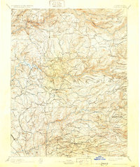
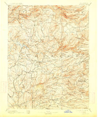
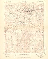
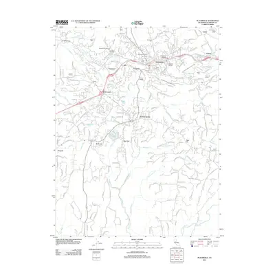
1893 Map of Placerville
USGS Topo · Published 1931About this map
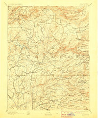
Placerville and the surrounding gold country of El Dorado and Placer counties are captured here in a period of transition between peak mining years and established settlement. The landscape is defined by the deep canyons of the North Fork American River, Middle Fork American River, and South Fork American River, which dictated the location of early camps and crossings. The Sacramento and Placerville R.R. terminates in the south, while an extensive network of roads connects legacy mining sites like Spanish Diggings, Georgia Slide, and Mammoth Mine. Smaller outposts such as Volcanoville and Kentucky Flat appear alongside numerous family-named mills and waypoints, including Dyers Mill and Sommerset House, illustrating the persistent timber and travel economy of the Sierra foothills.
Find a feature on this map
213 named features on this map. Tap any name to fly to it.
Don’t see what you’re looking for? This feature index may not catch every label — zoom into the map to look around manually.
Map Details
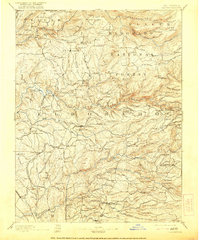
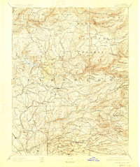
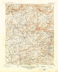
Editions of this 1893 Placerville Map
9 editions found

Historical Maps of Cameron Park Through Time
12 maps found

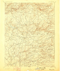
1891 Placerville
El Dorado County, CA

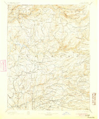
1892 Placerville
El Dorado County, CA
1893 Placerville
El Dorado County, CA
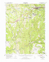
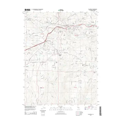
1949 Placerville
El Dorado County, CA
1949 Placerville
El Dorado County, CA
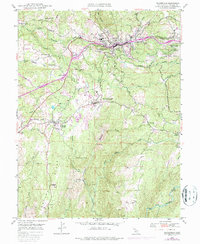
1950 Placerville
El Dorado County, CA
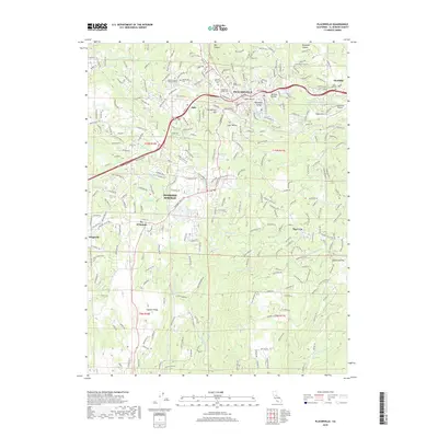
1976 Placerville
El Dorado County, CA
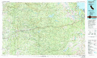
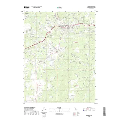
2012 Placerville
El Dorado County, CA
2015 Placerville
El Dorado County, CA
2018 Placerville
El Dorado County, CA
2022 Placerville
El Dorado County, CA
2023 Placerville
El Dorado County, CA