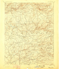
1893 Map of Placerville
USGS Topo · Published 1898About this map
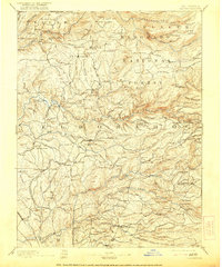
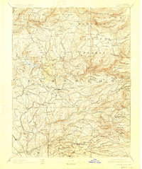
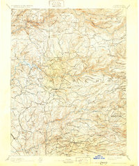
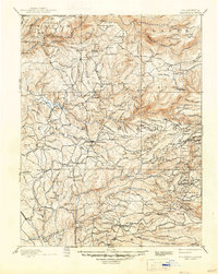
Gold Country commerce and settlement define this late nineteenth-century landscape, centered on the historic mining hub of Placerville. The geography is dictated by the deep canyons of the North Fork American River, Middle Fork American River, and South Fork American River. These waterways supported numerous bars and diggings, such as Oregon Bar and the evocative Spanish Diggings.
Find a feature on this map
198 named features on this map. Tap any name to fly to it.
Don’t see what you’re looking for? This feature index may not catch every label — zoom into the map to look around manually.
Map Details
Editions of this 1893 Placerville Map
9 editions found

Other maps of this area

1888 · Smartsville
USGS Topo · 1:125,000

1889 · Jackson
USGS Topo · 1:125,000

1889 · Pyramid Peak
USGS Topo · 1:125,000

1891 · Sacramento
USGS Topo · 1:125,000

1891 · Colfax
USGS Topo · 1:125,000

1891 · Truckee
USGS Topo · 1:125,000

1891 · Big Trees
USGS Topo · 1:125,000

1891 · Smartsville
USGS Topo · 1:125,000

1891 · Placerville
USGS Topo · 1:125,000

1891 · Pyramid Peak
USGS Topo · 1:125,000