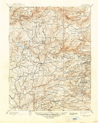
1893 Map of Placerville
USGS Topo · Published 1947About this map
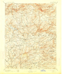
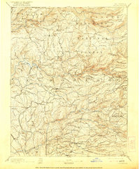
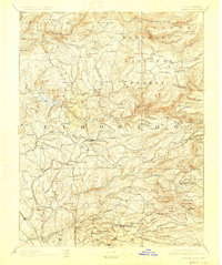
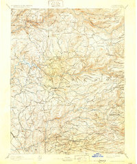
Placerville and the surrounding Sierra Nevada foothills are captured in this late 19th-century survey, revealing a landscape defined by gold-rush history and early infrastructure. The map details the transition from initial discovery sites like Coloma to the complex network of quartz and hydraulic mines that followed. A string of waypoints, including Grizzly Bear House, Three Mile House, and Fourteen Mile House, line the early roads, marking the travel times and distances essential for freighting supplies into the mountains.
Find a feature on this map
214 named features on this map. Tap any name to fly to it.
Don’t see what you’re looking for? This feature index may not catch every label — zoom into the map to look around manually.
Map Details
Editions of this 1893 Placerville Map
9 editions found

Other maps of this area

1888 · Smartsville
USGS Topo · 1:125,000

1889 · Jackson
USGS Topo · 1:125,000

1889 · Pyramid Peak
USGS Topo · 1:125,000

1891 · Sacramento
USGS Topo · 1:125,000

1891 · Colfax
USGS Topo · 1:125,000

1891 · Truckee
USGS Topo · 1:125,000

1891 · Big Trees
USGS Topo · 1:125,000

1891 · Smartsville
USGS Topo · 1:125,000

1891 · Placerville
USGS Topo · 1:125,000

1891 · Pyramid Peak
USGS Topo · 1:125,000