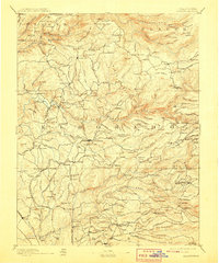
1893 Map of Placerville
USGS Topo · Published 1908About this map
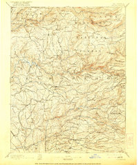
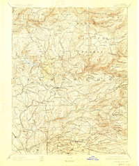
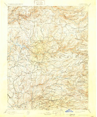
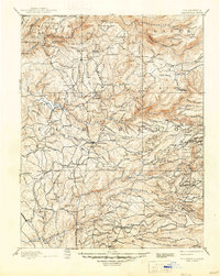
The Placerville region, deeply carved by the north, middle, and south forks of the American River, appears here as a landscape defined by the legacies of the Gold Rush. This 1887 survey, published at the turn of the century, reveals an intricate network of mining camps and hard-rock operations like the Mammoth Mine and Starlight Mine. The Sacramento and Placerville Railroad terminates at the county seat, serving as the vital link between these foothills and the valley below. Local history is etched into the terrain through family-named landmarks such as Grizzly Bear House and the Mile Hill Toll House, while vanished or diminished settlements like Spanish Diggings, Georgia Slide, and Poverty Bar underscore the transient nature of early California mining life.
Find a feature on this map
246 named features on this map. Tap any name to fly to it.
Don’t see what you’re looking for? This feature index may not catch every label — zoom into the map to look around manually.
Map Details
Editions of this 1893 Placerville Map
9 editions found

Other maps of this area

1888 · Smartsville
USGS Topo · 1:125,000

1889 · Jackson
USGS Topo · 1:125,000

1889 · Pyramid Peak
USGS Topo · 1:125,000

1891 · Sacramento
USGS Topo · 1:125,000

1891 · Colfax
USGS Topo · 1:125,000

1891 · Truckee
USGS Topo · 1:125,000

1891 · Big Trees
USGS Topo · 1:125,000

1891 · Smartsville
USGS Topo · 1:125,000

1891 · Placerville
USGS Topo · 1:125,000

1891 · Pyramid Peak
USGS Topo · 1:125,000