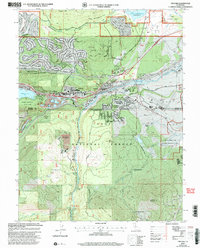
2000 Map of Truckee
USGS Topo · Published 2003About this map
The Truckee River and the Southern Pacific RR corridor anchor this mountain crossroads at the turn of the 21st century. High-altitude development is evident in the residential clusters at Ponderosa Palisades and Bennett Flat, while the town of Truckee itself functions as a regional hub with Tahoe Forest Hospital and Tahoe-Truckee High School. The landscape preserves its pioneer heritage through the Commemorative Overland Emigrant Trail and the protected grounds of Donner Memorial State Park near Donner Lake. To the south, the timber history of the Sierra is marked by the Old Schaeffer Mill (Site) and Old Schaeffer Camp (Site). The map also illustrates the modern infrastructure serving the area, from the Truckee-Tahoe Airport to the Prosser Creek Reservoir.
Find a feature on this map
53 named features on this map. Tap any name to fly to it.
Don’t see what you’re looking for? This feature index may not catch every label — zoom into the map to look around manually.
Map Details
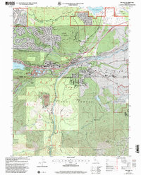
Editions of this 2000 Truckee Map
2 editions found
Other maps of this area

1891 · Truckee
USGS Topo · 1:125,000

1893 · Truckee
USGS Topo · 1:125,000

1895 · Truckee
USGS Topo · 1:125,000

1932 · Truckee
USGS Topo · 1:96,000

1940 · Truckee
USGS Topo · 1:125,000

1953 · Granite Chief
USGS Topo · 1:24,000

1953 · Granite Chief
USGS Topo · 1:62,500

1955 · Truckee
USGS Topo · 1:24,000
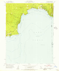
1955 · Kings Beach
USGS Topo · 1:24,000
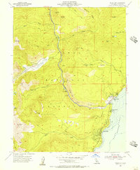
1955 · Tahoe City
USGS Topo · 1:24,000