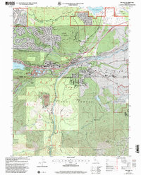
2000 Map of Truckee
USGS Topo · Published 2003About this map
The Donner Memorial State Park serves as a focal point of this California High Sierra study, marking the somber ground where the Donner Party Cabin (Site), Graves Cabin (Site), and Murphy Cabin (Site) once stood. The map captures the town of Truckee at the turn of the millennium, showing its evolution from a timber and rail hub into a modern alpine gateway. This transition is evident in the proximity of historical landmarks like the Donner Mon to newer developments such as Ponderosa Palisades and the Golf Course.
Find a feature on this map
66 named features on this map. Tap any name to fly to it.
Don’t see what you’re looking for? This feature index may not catch every label — zoom into the map to look around manually.
Map Details
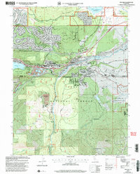
Editions of this 2000 Truckee Map
2 editions found
Other maps of this area

1891 · Truckee
USGS Topo · 1:125,000

1893 · Truckee
USGS Topo · 1:125,000

1895 · Truckee
USGS Topo · 1:125,000

1932 · Truckee
USGS Topo · 1:96,000

1940 · Truckee
USGS Topo · 1:125,000

1953 · Granite Chief
USGS Topo · 1:24,000

1953 · Granite Chief
USGS Topo · 1:62,500

1955 · Truckee
USGS Topo · 1:24,000
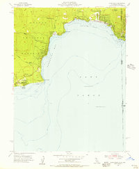
1955 · Kings Beach
USGS Topo · 1:24,000
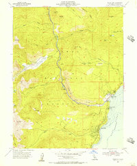
1955 · Tahoe City
USGS Topo · 1:24,000