Old Maps of Zephyr Knolls, Nevada for Hiking & Exploration
Hike through history with 13 historic maps of Zephyr Knolls. Explore old trails, ghost towns, and forgotten backroads — perfect for outdoor adventurers and local explorers.
- Rediscover forgotten places: Map out old mining camps, roads, and footpaths that no longer exist on modern maps.
- Layer with modern tools: Combine with LiDAR or satellite views to plan hikes through historical terrain.
- Made for exploration: Popular among hikers, overlanders, and local history lovers.
Use these maps to find adventure and explore the hidden past of Zephyr Knolls.
Zephyr Knolls, NV maps
(13)- 1891 Map of Carson
 1891 Carson1891 Print · USGSSilver mining and rail expansion dominate this late-century look at the Comstock Lode region, from the heights of Virginia to the capital at Carson. Researchers can trace the winding Virginia and Truckee Railroad and locate early sites like Gold Hill, Sutro, and the State Prison.
 - 1893 Map of Carson
 1893 Carson1893 Print · USGSThe Comstock Lode era is in full view here during the 1890s, centering on the silver mining centers and early rail networks of the Nevada territory. Trace the path of the Virginia and Truckee R.R. and locate historic sites like Sutro, Gold Hill, and the State Prison near Carson.9 unique versions available
 - 1955 Map of Glenbrook, 1957 Print
 1955 Glenbrook1957 Print · USGSThe eastern shores of Lake Tahoe come alive in the mid-fifties, showing the developing communities of Glenbrook and Zephyr Cove. Researchers can trace old mountain routes like Genoa Peak Road or locate local landmarks including Tahoe School and Spooner Lake.4 unique versions available
 - 1956 Map of Carson City, 1958 Print
 1956 Carson City1958 Print · USGSIn the mid-fifties, the Nevada state capital and the eastern shores of Lake Tahoe remained distinct, separated by the Carson Range. You can trace institutional history at Stewart and the State Capitol, or locate old burials at Jacks Valley Cemetery.4 unique versions available
 - 1957 Map of Reno, 1963 Print
 1957 Reno1963 Print · USGSWestern Nevada in the early sixties is a land of sprawling desert sinks and rising mountain ranges. Genealogists and historians can trace the rail-and-river network connecting Reno, the mining legacy of Rawhide Mine, and the boundaries of the Pyramid Lake Indian Reservation.5 unique versions available
 - 1959 Map of Reno
 1959 Reno1959 Print · USGSWestern Nevada in the late fifties was a land of expanding military airbases and high-desert irrigation projects. You can trace the lineage of the Comstock era through Carson City, locate the Pony Express Monument, or study the rail networks of the Southern Pacific RR.
 - 1960 Map of Reno
 1960 Reno1960 Print · USGSThe high desert of western Nevada comes alive in this mid-century survey of the Reno-Tahoe region. Genealogists and historians can trace rail lines like the Southern Pacific RR and locate remote outposts such as Olinghouse, Nixon, and the Olinghouse Mine.2 unique versions available
 - 1979 Map of Carson City, 1980 Print
 1979 Carson City1980 Print · USGSWestern Nevada in the late seventies reveals a landscape of historic mining districts and expanding mountain communities. Researchers can trace the Comstock Lode through Virginia City, locate the Stewart Indian School, or explore the shores of Lake Tahoe near Incline Village.2 unique versions available
 - 1992 Map of Glenbrook, 1994 Print
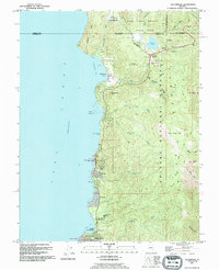 1992 Glenbrook1994 Print · USGSThe eastern shore of Lake Tahoe in the early nineties shows a landscape of growing mountain communities and protected forest land. Local historians can trace the development of Lincoln Park and Skyland or locate landmarks like Cave Rock and the Spooner Guard Station.2 unique versions available
 - 2012 Map of Glenbrook, 2012 Print
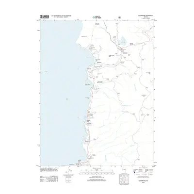 2012 Glenbrook2012 Print · USGSThe eastern shoreline of Lake Tahoe shows its modern residential character and protected alpine landscapes in the early twenty-first century. Researchers can locate specific sites like the Prison Honor Camp, the Glenbrook Post Office, and the historic path of OLD HWY 50.
 - 2014 Map of Glenbrook, 2014 Print
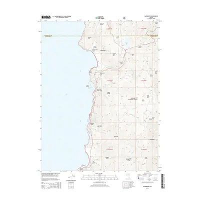 2014 Glenbrook2014 Print · USGSThe eastern shore of Lake Tahoe is shown in the early twenty-first century, as it transitions from the waterfront to the high peaks of the Carson Range. Researchers can trace the development of lakeside communities like Glenbrook and Zephyr Cove, or locate landmarks such as Cave Rock and Spooner Summit.
 - 2018 Map of Glenbrook, 2018 Print
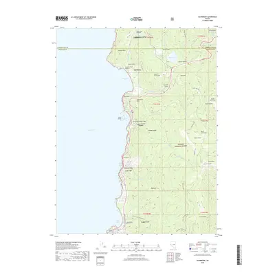 2018 Glenbrook2018 Print · USGSThe eastern shores of Lake Tahoe and the Carson Range are detailed in this recent survey. Researchers can trace lakeshore developments from Glenbrook to Zephyr Cove or follow high-elevation routes like the Tahoe Rim Trail near Genoa Peak.
 - 2021 Map of Glenbrook, 2021 Print
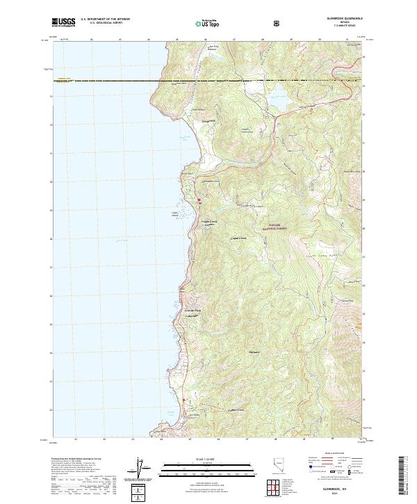 2021 Glenbrook2021 Print · USGSLake Tahoe's eastern shoreline in Douglas County comes into focus in this contemporary survey of the Sierra Nevada foothills. Researchers can trace the residential development of Logan Creek Estates and Skyland, or locate historic landmarks like Cave Rock and the Tahoe Rim Trl.
End of results
Showing maps 1-13 of 13
Frequently asked questions
- What are the different types of historical maps available for Zephyr Knolls?
- What is the oldest map of Zephyr Knolls?
- Where can I purchase historical maps of Zephyr Knolls for my home or office?
- Where can I download high-res historical maps of Zephyr Knolls?
- Are there historical topographic maps available for Zephyr Knolls?
- Is there historical aerial imagery available for Zephyr Knolls?
- Where are historical maps of Zephyr Knolls sourced from?