Old Maps of Hogan, Nevada for Genealogy
Trace your family roots with 11 historic maps of Hogan. These high-res maps reveal old neighborhoods, homesites, landmarks, and streets — helping you uncover where your ancestors lived and how the area evolved over time.
- Explore historic neighborhoods: Identify where your relatives may have lived in the 1800s or 1900s.
- Compare maps over time: Trace the changes in streets, buildings, and landmarks for multi-generational research.
- Perfect for genealogy & ancestry research: Used by family historians and researchers to map out lineage and migration.
These maps are an incredible resource for exploring your personal connection to Hogan's past.
Hogan, NV maps
(11)- 1953 Map of Spruce Mountain 4, 1955 Print
 1953 Spruce Mountain 41955 Print · USGSElko County was a high-desert crossroads in the early fifties, where vital rail lines navigated the rugged gaps between mountain ranges. Researchers can trace the paths of the Western Pacific and Nevada Northern railroads past Hogan and Dolly Varden.4 unique versions available
 - 1955 Map of Elko, 1974 Print
 1955 Elko1974 Print · USGSNortheastern Nevada in the mid-fifties is captured here as a crossroads of transcontinental rail and high desert ranching. Trace old rail stops from Wells to Elko or find remote landmarks like Shanty Town and Medicine Spring.3 unique versions available
 - 1958 Map of Elko
 1958 Elko1958 Print · USGSNorthern Nevada in the late fifties shows a landscape of high-desert ranching and Cold War aviation. Trace old rail lines like the Nevada Northern or locate the Victoria Mine and Wendover Air Force Base.2 unique versions available
 - 1962 Map of Elko
 1962 Elko1962 Print · USGSNortheastern Nevada in the early sixties is a landscape of mountain ranges and rail corridors, where the river valleys support ranching and transit. Locate old mining operations like Battle Creek Mine, rural stops like Moleen, and the sprawling Wendover Bombing and Gunnery Range.
 - 1965 Map of Elko
 1965 Elko1965 Print · USGSElko and the northeastern Nevada desert are captured here in the mid-1960s, showcasing a landscape of high ranges and essential rail corridors. Researchers can trace the path of the Western Pacific railroad through small stops like Tobar and Ventosa, or locate remote sites like Shanty Town near the Ruby Lake wetlands.
 - 1985 Map of Wendover
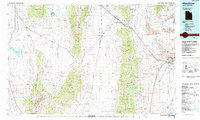 1985 Wendover1985 Print · USGSThe high desert borderlands of Utah and Nevada are captured here during the mid-eighties, dominated by vast salt flats and isolated mountain ranges. Researchers can trace the sprawling Wendover Air Force Auxiliary Field, old rail stops like Shafter, and remote workings at the Monarch Mine.
 - 1986 Map of Flowery Lake
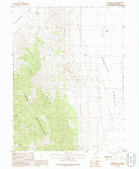 1986 Flowery Lake1986 Print · USGSElko County's high desert landscape is captured here in the mid-1980s, centered on the towering spine of the Pequop Mountains. Researchers can trace the connection between the settlement of Hogan and natural features like Flowery Lake and the rugged Ninemile Canyon.
 - 2012 Map of Flowery Lake, 2012 Print
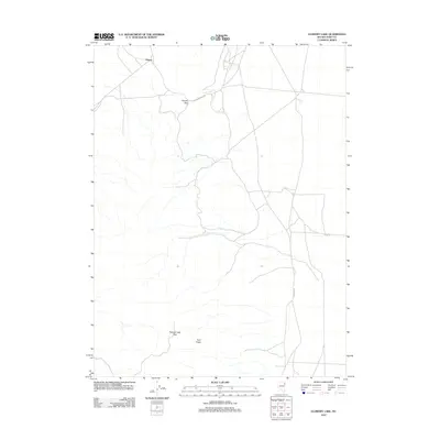 2012 Flowery Lake2012 Print · USGSElko County's high desert landscape appears here in the early twenty-first century, centered on the small settlement of Hogan. Trace the mountain crossings at Flower Pass and Flowery Lake Pass or follow the paths of Decoy Rd and Shaftter Rd.
 - 2015 Map of Flowery Lake, 2015 Print
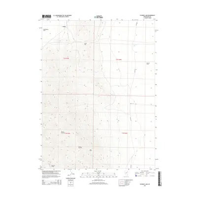 2015 Flowery Lake2015 Print · USGSHigh-desert basins and mountain passes define this Elko County landscape during the mid-2010s. Researchers can trace the geography of the Pequop Mountains and locate landmarks like the settlement of Hogan and the seasonal waters of Flowery Lake.
 - 2018 Map of Flowery Lake, 2018 Print
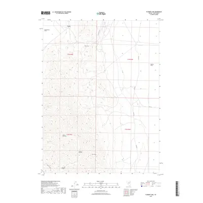 2018 Flowery Lake2018 Print · USGSElko County’s high-desert basins and the steep Pequop Mountains are documented here in the late twenty-teens. Trace the routes through Flower Pass and Flowery Lake Pass, or locate the seasonal waters of Flowery Lake near the settlement of Hogan.
 - 2021 Map of Flowery Lake, 2021 Print
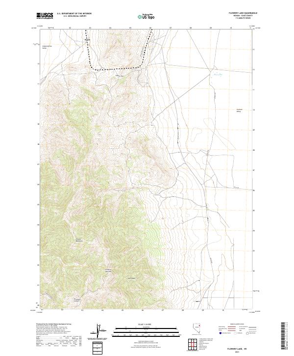 2021 Flowery Lake2021 Print · USGSElko County's high desert landscape is shown here in the early twenty-first century, revealing the isolated settlement patterns of the eastern Great Basin. Researchers can trace the routes through Flower Pass, locate the small community of Hogan, and follow the path of Shafter Rd across the valley.
End of results
Showing maps 1-11 of 11
Frequently asked questions
- What are the different types of historical maps available for Hogan?
- What is the oldest map of Hogan?
- Where can I purchase historical maps of Hogan for my home or office?
- Where can I download high-res historical maps of Hogan?
- Are there historical topographic maps available for Hogan?
- Is there historical aerial imagery available for Hogan?
- Where are historical maps of Hogan sourced from?