Old Maps of Oasis, Nevada for Academic Research
Study the evolution of Oasis with 10 high-resolution historic maps. Whether you're teaching, researching, or modeling changes in land use, these maps provide essential visual documentation of urban, environmental, and geographic change.
- Analyze long-term change: Track patterns in development, transportation, and natural features.
- Ideal for environmental or urban studies: Support academic projects with primary historical map data.
- Use in the classroom or lab: Educators and researchers rely on these maps to bring historical context to life.
These maps are a powerful tool for teaching, research, and visualizing how Oasis has changed over the decades.
Oasis, NV maps
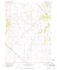
(10)- 1955 Map of Wells, 1966 Print
 1955 Wells1966 Print · USGSNortheastern Nevada's high basin-and-range country is documented here in the mid-fifties, showing a landscape of remote ranching outposts and massive federal forest lands. Researchers can locate the early mining districts at Delano Mines and trace the paths of the Southern Pacific railroad through settlements like Deeth and Cobre.4 unique versions available
 - 1958 Map of Wells
 1958 Wells1958 Print · USGSNortheastern Nevada's high desert and mountain ranges are documented here in the late fifties as the regional rail and ranching economy thrived. Genealogists and historians can trace the paths of the Southern Pacific railroad to remote stations at Cobre and Metropolis, or locate the high-altitude Delno Mines.
 - 1961 Map of Wells
 1961 Wells1961 Print · USGSNortheastern Nevada's high basin and range country is captured here during the early sixties, showing the vital rail corridors and ranching outposts. Researchers can trace the heritage of remote settlements like Metropolis, locate the Delano Mines, and follow the path of the Southern Pacific through the Pequop Mountains.
 - 1967 Map of Cobre, 1971 Print
 1967 Cobre1971 Print · USGSElko County’s high desert landscape was defined by the intersection of major rail lines in the late sixties. Researchers can trace the junction of the Southern Pacific and Nevada Northern near Cobre, or locate the ranch at Squaw Creek Ranch.3 unique versions available
 - 1981 Map of Wells
 1981 Wells1981 Print · USGSNortheast Nevada during the early 1980s reveals a landscape shaped by transcontinental rail lines and remote desert outposts. Trace the historic paths of the Southern Pacific and Western Pacific near the settlements of Wells, Cobre, and Montello.2 unique versions available
 - 2012 Map of Cobre, 2012 Print
 2012 Cobre2012 Print · USGSCovers Oasis, including Elko County, United States, and other nearby areas
 - 2014 Map of Cobre, 2014 Print
 2014 Cobre2014 Print · USGSCovers Oasis, including Elko County, United States, and other nearby areas
 - 2018 Map of Cobre, 2018 Print
 2018 Cobre2018 Print · USGSCovers Oasis, including Elko County, United States, and other nearby areas
 - 2021 Map of Cobre, 2021 Print
 2021 Cobre2021 Print · USGSCovers Oasis, including Elko County, United States, and other nearby areas
 - 2023 Map of Cobre, 2023 Print
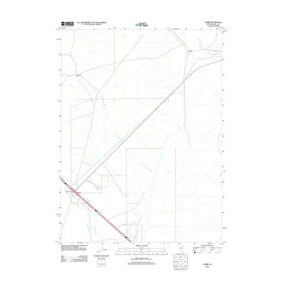
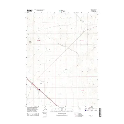
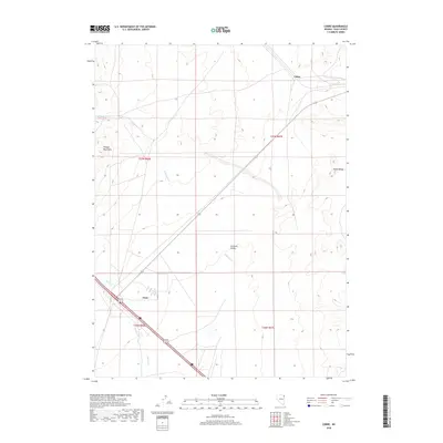
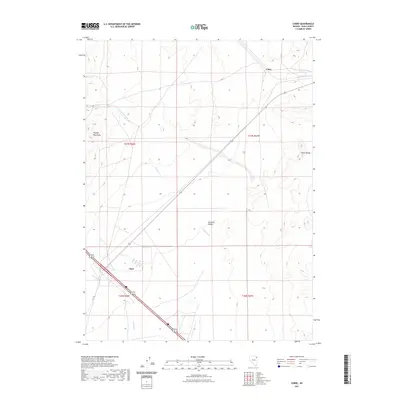
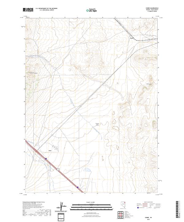 2023 Cobre2023 Print · USGSThe high desert of Elko County is captured here in the contemporary era, showing the remote corridor between the Pequop Mountains and Toano Range. Researchers can trace the drainage patterns of Sixmile Creek and locate the crossroads settlements of Oasis and Cobre.
End of results
Showing maps 1-10 of 10
Frequently asked questions
- What are the different types of historical maps available for Oasis?
- What is the oldest map of Oasis?
- Where can I purchase historical maps of Oasis for my home or office?
- Where can I download high-res historical maps of Oasis?
- Are there historical topographic maps available for Oasis?
- Is there historical aerial imagery available for Oasis?
- Where are historical maps of Oasis sourced from?