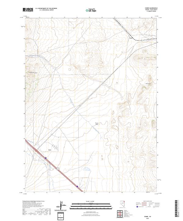
2023 Map of Cobre
USGS Topo · Published 2023About this map
Goshute Valley serves as the central corridor of this high-desert landscape, flanked by the prominent peaks of the Pequop Mountains to the west and the Toano Range to the east. The settlement of Cobre sits at a critical junction in the northern reaches, while Oasis occupies the southwestern corner near the intersection of major transit routes including Alt 93. The map documents a fragile water system where ephemeral drainages like East Pequop Creek, Nanny Creek, and Sixmile Creek flow from the mountain flanks toward the valley floor, illustrating the classic basin-and-range hydrology of Elko County. Modern infrastructure and historical survey lines, represented by Township and Range boundaries such as t37n r66e and t36n r67e, provide a structured framework over this otherwise open terrain, reflecting the area's continued role as a gateway between Nevada's mountain corridors.
Find a feature on this map
13 named features on this map. Tap any name to fly to it.
Don’t see what you’re looking for? This feature index may not catch every label — zoom into the map to look around manually.
Map Details
Editions of this 2023 Cobre Map
This is the sole edition of this map. No revisions or reprints were ever made.
Other maps of this area

1955 · Wells
USGS Topo · 1:250,000

1955 · Elko
USGS Topo · 1:250,000

1958 · Wells
USGS Topo · 1:250,000

1958 · Elko
USGS Topo · 1:250,000

1961 · Wells
USGS Topo · 1:250,000

1962 · Elko
USGS Topo · 1:250,000

1965 · Elko
USGS Topo · 1:250,000

1967 · Valley Pass
USGS Topo · 1:24,000

1967 · Loray
USGS Topo · 1:24,000

1967 · Cobre SE
USGS Topo · 1:24,000