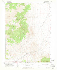
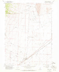
1967 Map of Loray
USGS Topo · Published 1971About this map
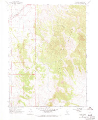
Murdock Mountain and the high ridges of the Toano Range dominate this high-desert corridor in eastern Elko County. The landscape is defined by the critical infrastructure of the Southern Pacific railroad, which snakes through the valley floor alongside Loray Wash. This area represents a vital transportation passage where early western migration and later industrial rail lines funneled through the basin between massive mountain blocks.
Find a feature on this map
20 named features on this map. Tap any name to fly to it.
Don’t see what you’re looking for? This feature index may not catch every label — zoom into the map to look around manually.
Map Details
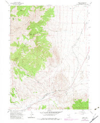
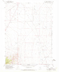
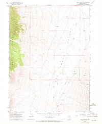
Editions of this 1967 Loray Map
2 editions found
Other maps of this area

1955 · Wells
USGS Topo · 1:250,000

1958 · Wells
USGS Topo · 1:250,000

1961 · Wells
USGS Topo · 1:250,000
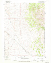
1967 · Valley Pass
USGS Topo · 1:24,000
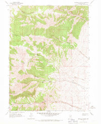
1967 · Montello Canyon
USGS Topo · 1:24,000
1967 · Montello
USGS Topo · 1:24,000
1967 · Pilot Peak NW
USGS Topo · 1:24,000
1967 · Pilot Peak SW
USGS Topo · 1:24,000
1967 · Ninemile Mtn SW
USGS Topo · 1:24,000
1967 · Cobre SE
USGS Topo · 1:24,000