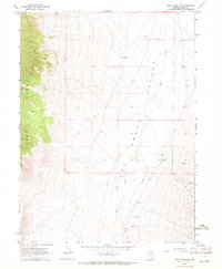
1967 Map of Pilot Peak SW
USGS Topo · Published 1971About this map
The Toano Range dominates the western landscape of this 1967 survey, where steep contours drop sharply into the wide expanse of the Pilot Creek Valley. This high-desert terrain reflects a mid-century reliance on isolated water sources for ranching and industry, marked by the presence of the Castle Park Well, Pilot Well, and a natural Spring. Human activity is concentrated along the valley floor, where the Pilot Mtn Ranch serves as a primary landmark alongside infrastructure like a local Aqueduct. The economic life of this Elko County region is further evidenced by several Mines in the northwestern hills and a Gravel Pit to the east. Transportation through this arid environment is limited to an unimproved Jeep Trail, illustrating the remote character of the Great Basin during this era.
Find a feature on this map
13 named features on this map. Tap any name to fly to it.
Don’t see what you’re looking for? This feature index may not catch every label — zoom into the map to look around manually.
Map Details
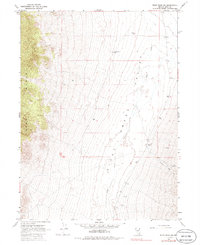
Editions of this 1967 Pilot Peak SW Map
2 editions found
Other maps of this area

1955 · Wells
USGS Topo · 1:250,000

1955 · Elko
USGS Topo · 1:250,000

1958 · Wells
USGS Topo · 1:250,000

1958 · Elko
USGS Topo · 1:250,000

1961 · Wells
USGS Topo · 1:250,000

1962 · Elko
USGS Topo · 1:250,000

1965 · Elko
USGS Topo · 1:250,000

1967 · Pilot Peak
USGS Topo · 1:24,000

1967 · Loray
USGS Topo · 1:24,000

1967 · Patterson Pass
USGS Topo · 1:24,000