
1967 Map of Ninemile Mtn SW
USGS Topo · Published 1971About this map
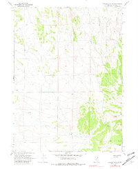
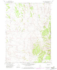
Rauch Ranch and a series of remote water sources anchor this high-desert landscape in Elko County, mapped during the late 1960s. The terrain is defined by the deep incisions of Twentyone Mile Draw and Kane Canyon, which carve through the high plateaus and ridges. Human activity is sparse and focused on water access, evidenced by several uniquely named wells such as Toilet Well No 1, Toilet Well No 2, and the Eightyfoot Well.
Find a feature on this map
14 named features on this map. Tap any name to fly to it.
Don’t see what you’re looking for? This feature index may not catch every label — zoom into the map to look around manually.
Map Details
Editions of this 1967 Ninemile Mtn SW Map
3 editions found
Other maps of this area

1955 · Wells
USGS Topo · 1:250,000

1958 · Wells
USGS Topo · 1:250,000

1961 · Wells
USGS Topo · 1:250,000

1967 · Valley Pass
USGS Topo · 1:24,000

1967 · Loray
USGS Topo · 1:24,000

1967 · Montello Canyon
USGS Topo · 1:24,000

1967 · Ninemile Mtn NE
USGS Topo · 1:24,000

1967 · Ninemile Mtn
USGS Topo · 1:24,000

1968 · Pequop
USGS Topo · 1:24,000

1968 · Wine Cup Ranch SE
USGS Topo · 1:24,000