Old Maps of Owyhee, Nevada
Explore 10 old maps of Owyhee, spanning from 1939 to today. These high-resolution historic maps reveal how streets, neighborhoods, landmarks, and natural features evolved over time — perfect for genealogy, metal detecting, research, and local history exploration.
What you can do with these maps:
- See how Owyhee changed over time: Compare historical maps to modern-day views to trace roads, homesites, rail lines & more.
- View detailed metadata: Each map includes creators, publishers, year, scale, and archive source.
- Overlay maps with satellite & LiDAR: Visualize the past alongside modern tools to explore terrain & human change.
- Trusted historical sources: Maps sourced from the USGS, Library of Congress, and other archives.
- Access maps your way: View online, download high-res files, or order prints for personal or research use.
Start exploring old maps of Owyhee to uncover forgotten places, hidden landmarks, and the deep history beneath your feet.
Owyhee, NV maps
(10)- 1939 Map of Owyhee, 1965 Print
 1939 Owyhee1965 Print · USGSThe Nevada-Idaho borderlands come into focus in the late 1930s, centered on the Duck Valley Indian Reservation and the vital Owyhee River. Researchers can trace early irrigation works like China Dam and find vanished points of interest such as Number One Settlement and the Idaho-Nev Shaft.
 - 1942 Map of Owyhee
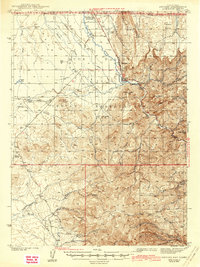 1942 Owyhee1942 Print · USGSThe high desert borderlands of Nevada and Idaho come alive in this pre-war survey of the Duck Valley Indian Reservation. Researchers can trace early irrigation systems and ranching landmarks like Lamb Reservoir, the Number One Settlement, and the Idaho-Nev Shaft mine.3 unique versions available
 - 1955 Map of McDermitt
 1955 McDermitt1955 Print · USGSNorthern Nevada in the mid-fifties shows a landscape of mining camps and vast cattle ranges. Trace the early footprints of Tuscarora or the remote Cordero Mine and National Mine tucked into the high desert peaks.3 unique versions available
 - 1959 Map of McDermitt
 1959 McDermitt1959 Print · USGSThe high-desert borderlands of northern Nevada and southern Oregon are captured here in the late fifties. Researchers can trace historic mining operations at the Cordero Mine and Getchell Mine, or locate settlements like Paradise Valley and Tuscarora.2 unique versions available
 - 1971 Map of Owyhee, 1974 Print
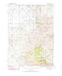
 1971 Owyhee1974 Print · USGSLife on the Nevada-Idaho border in the early seventies centered on the Duck Valley Indian Reservation and its lifeline of canals. Researchers can trace the layout of Owyhee, identify the George Washington Cem, and locate landmarks like China Dam and the Rodeo Grounds.
 - 1982 Map of Bull Run Mts
 1982 Bull Run Mts1982 Print · USGSElko County and the Idaho borderlands are shown here in the early eighties as a hub of mining and water management. Researchers can trace historic extraction sites like the Edgemont Mine and Cornucopia Mine alongside the Owyhee River and the settlement of Tuscarora.2 unique versions available
 - 2012 Map of Owyhee, 2012 Print
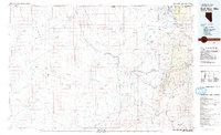
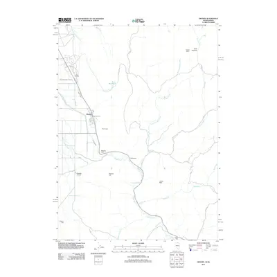 2012 Owyhee2012 Print · USGSCovers Owyhee, including Elko County, Owyhee County, and other nearby areas
 - 2014 Map of Owyhee, 2014 Print
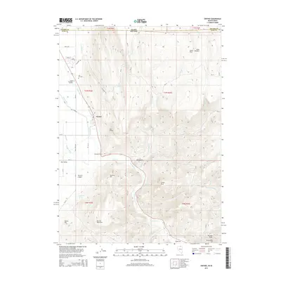 2014 Owyhee2014 Print · USGSCovers Owyhee, including Elko County, Owyhee County, and other nearby areas
 - 2018 Map of Owyhee, 2018 Print
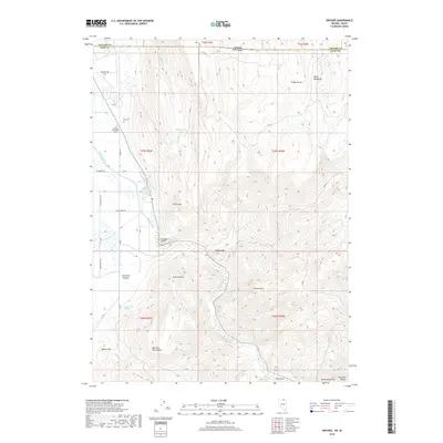 2018 Owyhee2018 Print · USGSCovers Owyhee, including Elko County, Owyhee County, and other nearby areas
 - 2021 Map of Owyhee, 2021 Print
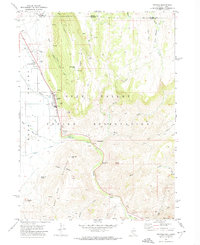
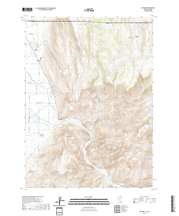 2021 Owyhee2021 Print · USGSElko County, Nevada, near the Idaho border appears here in the early twenty-first century, showing the irrigation and settlement of the high desert. Researchers can locate the George Washington Cem, trace the course of the Owyhee River, and find the remote site of Ottawanah.
End of results
Showing maps 1-10 of 10
Top cities near Owyhee
Frequently asked questions
- What are the different types of historical maps available for Owyhee?
- What is the oldest map of Owyhee?
- Where can I purchase historical maps of Owyhee for my home or office?
- Where can I download high-res historical maps of Owyhee?
- Are there historical topographic maps available for Owyhee?
- Is there historical aerial imagery available for Owyhee?
- Where are historical maps of Owyhee sourced from?