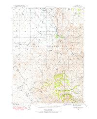
1939 Map of Owyhee
USGS Topo · Published 1965About this map
The Duck Valley Indian Reservation dominates this 1939 survey, straddling the high desert border between Nevada and Idaho. The landscape is defined by the northward flow of the Owyhee River and an intricate network of irrigation features including the Lateral Main Canal, Lamb Reservoir, and China Dam. Small settlements such as Number One Settlement and Owyhee serve as the focal points for the ranching and agricultural life of the Shoshone and Paiute peoples during this era.
Find a feature on this map
58 named features on this map. Tap any name to fly to it.
Don’t see what you’re looking for? This feature index may not catch every label — zoom into the map to look around manually.
Map Details
Editions of this 1939 Owyhee Map
This is the sole edition of this map. No revisions or reprints were ever made.
Other maps of this area
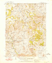
1936 · Mountain City
USGS Topo · 1:62,500
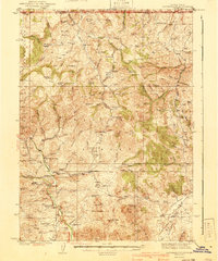
1940 · Mountain City
USGS Topo · 1:62,500
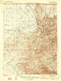
1942 · Owyhee
USGS Topo · 1:62,500
1955 · McDermitt
USGS Topo · 1:250,000
1955 · Jordan Valley
USGS Topo · 1:250,000
1955 · Twin Falls
USGS Topo · 1:250,000
1955 · Wells
USGS Topo · 1:250,000
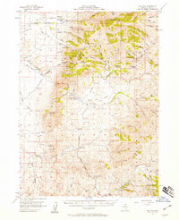
1956 · Bull Run
USGS Topo · 1:62,500
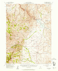
1956 · Wild Horse
USGS Topo · 1:62,500
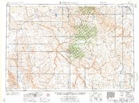
1957 · Jordan Valley
USGS Topo · 1:250,000