
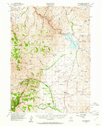
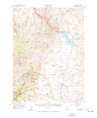
1956 Map of Wild Horse
USGS Topo · Published 1958About this map
The Wild Horse Reservoir dominates this high-desert basin in the 1950s, collecting the waters of the Owyhee River and its many tributaries. This landscape is defined by the high elevations of the Independence Mountains to the west, where McAfee Peak stands as a prominent landmark. The area's ranching heritage is evident in the cluster of family operations such as Doheny Ranch, Stevens Ranch, and Vega Ranch, which are situated along the perennial watercourses like Jacks Creek and Delaware Creek. These homesteads represent the sparse but critical settlement pattern of northern Elko County during this era.
Find a feature on this map
68 named features on this map. Tap any name to fly to it.
Don’t see what you’re looking for? This feature index may not catch every label — zoom into the map to look around manually.
Map Details
Editions of this 1956 Wild Horse Map
3 editions found
Other maps of this area

1935 · Charleston
USGS Topo · 1:48,000

1936 · Mountain City
USGS Topo · 1:62,500

1936 · Rowland
USGS Topo · 1:48,000

1939 · Owyhee
USGS Topo · 1:62,500

1940 · Rowland
USGS Topo · 1:62,500

1940 · Mountain City
USGS Topo · 1:62,500

1942 · Owyhee
USGS Topo · 1:62,500

1942 · Mt. Velma
USGS Topo · 1:62,500

1955 · McDermitt
USGS Topo · 1:250,000

1955 · Wells
USGS Topo · 1:250,000