
1942 Map of Owyhee
USGS Topo · Published 1942About this map
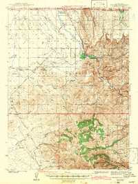
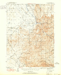
Duck Valley Indian Reservation spans the border between Idaho and Nevada, where the Owyhee River creates a fertile corridor through the high desert terrain. In this 1930s survey, the settlement of Owyhee serves as a central hub near the river's junction with Blue Creek. The agricultural landscape is defined by an intricate network of irrigation, including the Main Canal, numerous lateral ditches, and Lamb Reservoir. To the south, the topography transitions into the high country of the Humboldt National Forest, marked by peaks like Bald Mtn and the narrow passage of Porcupine Pass.
Find a feature on this map
54 named features on this map. Tap any name to fly to it.
Don’t see what you’re looking for? This feature index may not catch every label — zoom into the map to look around manually.
Map Details
Editions of this 1942 Owyhee Map
3 editions found
Other maps of this area

1936 · Mountain City
USGS Topo · 1:62,500

1939 · Owyhee
USGS Topo · 1:62,500

1940 · Mountain City
USGS Topo · 1:62,500

1955 · McDermitt
USGS Topo · 1:250,000

1955 · Jordan Valley
USGS Topo · 1:250,000

1955 · Twin Falls
USGS Topo · 1:250,000

1955 · Wells
USGS Topo · 1:250,000

1956 · Bull Run
USGS Topo · 1:62,500

1956 · Wild Horse
USGS Topo · 1:62,500

1957 · Jordan Valley
USGS Topo · 1:250,000