
1956 Map of Bull Run
USGS Topo · Published 1958About this map
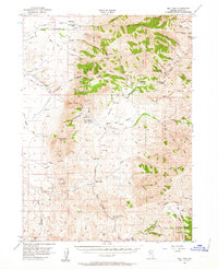
Mines and ranches mark the high-altitude landscape of Elko County in this mid-century study of the Bull Run Mountains and Independence Mountains. The area's legacy of extraction is evident through numerous workings like the Edgemont Mine, Aura King Mine, and Golden Eagle Mine, many tucked into steep drainages like Edgemont Canyon and California Gulch. Cattle ranching operations appear along the western slopes, including the 7-J Ranch, SL Ranch, and the White Rock (Site). Water management is centered at the Bull Run Reservoir, which captures runoff from the Bull Run Basin to serve the arid territory. Much of the eastern and southern terrain falls within the Humboldt National Forest, where a network of jeep trails and tracks connects peaks like Porter Peak and Blue Jacket Peak.
Find a feature on this map
85 named features on this map. Tap any name to fly to it.
Don’t see what you’re looking for? This feature index may not catch every label — zoom into the map to look around manually.
Map Details
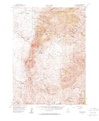
Editions of this 1956 Bull Run Map
3 editions found
Other maps of this area

1936 · Mountain City
USGS Topo · 1:62,500

1939 · Owyhee
USGS Topo · 1:62,500

1940 · Mountain City
USGS Topo · 1:62,500

1942 · Owyhee
USGS Topo · 1:62,500

1955 · McDermitt
USGS Topo · 1:250,000

1955 · Wells
USGS Topo · 1:250,000

1956 · Tuscarora
USGS Topo · 1:62,500

1956 · Mt. Blitzen
USGS Topo · 1:62,500

1956 · Wild Horse
USGS Topo · 1:62,500

1958 · Wells
USGS Topo · 1:250,000