
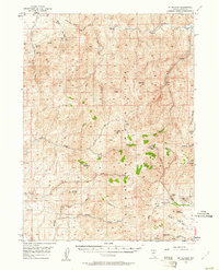
1956 Map of Mt. Blitzen
USGS Topo · Published 1958About this map
The Tuscarora Mountains anchor this mid-century survey of the high Elko County landscape, where the South Fork Owyhee River snakes through the northeast corner at Swimmers Flat. The map reveals a high-elevation mining economy centered on the western slopes and interior ridges, notably at the Amazon Mine and Good Hope Mine near Chino Creek, as well as the Divide Mines and Falcon Mines further south.
Find a feature on this map
42 named features on this map. Tap any name to fly to it.
Don’t see what you’re looking for? This feature index may not catch every label — zoom into the map to look around manually.
Map Details
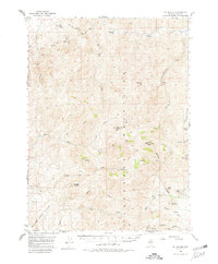
Editions of this 1956 Mt. Blitzen Map
3 editions found
Other maps of this area

1955 · McDermitt
USGS Topo · 1:250,000

1956 · Tuscarora
USGS Topo · 1:62,500

1956 · Bull Run
USGS Topo · 1:62,500

1959 · McDermitt
USGS Topo · 1:250,000

1964 · Wilson Reservoir
USGS Topo · 1:62,500

1965 · Willow Creek Reservoir
USGS Topo · 1:24,000

1970 · Sugarloaf Butte
USGS Topo · 1:24,000

1970 · Lake Mountain
USGS Topo · 1:24,000
1970 · China Camp
USGS Topo · 1:24,000
1972 · Lake Mountain
USGS Topo · 1:24,000