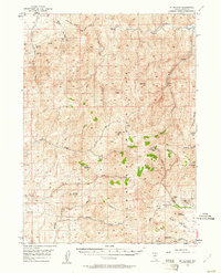
1956 Map of Mt. Blitzen
USGS Topo · Published 1961About this map
The high desert of Elko County is defined here by the Tuscarora Mountains, a range where mid-century mining activity and ranching trails intersect. Surveyed in the mid-1950s, this landscape shows evidence of mineral exploration at the Amazon Mine and Good Hope Mine in the north, while the Divide Mines and Falcon Mines sit further south among the peaks. Water sources are critical landmarks in this arid environment, with the South Fork Owyhee River cutting through the northeast corner and various drainages like Chino Creek and Red Cow Creek feeding into the basin.
Find a feature on this map
37 named features on this map. Tap any name to fly to it.
Don’t see what you’re looking for? This feature index may not catch every label — zoom into the map to look around manually.
Map Details
Editions of this 1956 Mt. Blitzen Map
3 editions found
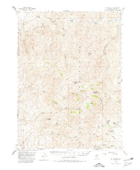
Other maps of this area

1955 · McDermitt
USGS Topo · 1:250,000

1956 · Tuscarora
USGS Topo · 1:62,500

1956 · Mt. Blitzen
USGS Topo · 1:62,500

1956 · Bull Run
USGS Topo · 1:62,500

1959 · McDermitt
USGS Topo · 1:250,000

1964 · Wilson Reservoir
USGS Topo · 1:62,500

1965 · Willow Creek Reservoir
USGS Topo · 1:24,000

1970 · Sugarloaf Butte
USGS Topo · 1:24,000

1970 · Lake Mountain
USGS Topo · 1:24,000
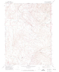
1970 · China Camp
USGS Topo · 1:24,000