
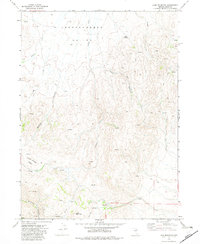
1970 Map of Sugarloaf Butte
USGS Topo · Published 1974About this map
The Tuscarora Mountains dominate this high-desert landscape in northern Nevada, where the drainage patterns of numerous creeks define the settlement history of the region. St Johns Ranch stands as the primary namesake for human activity in this area, situated near the headwaters of Soldier Creek. The terrain is characterized by a high concentration of water sources, including Hub Spring, Iron Spring, and Coyote Spring, which were essential for cattle ranching and travel through these remote basins.
Find a feature on this map
23 named features on this map. Tap any name to fly to it.
Don’t see what you’re looking for? This feature index may not catch every label — zoom into the map to look around manually.
Map Details
Editions of this 1970 Sugarloaf Butte Map
This is the sole edition of this map. No revisions or reprints were ever made.
Other maps of this area

1955 · McDermitt
USGS Topo · 1:250,000

1956 · Tuscarora
USGS Topo · 1:62,500

1956 · Mt. Blitzen
USGS Topo · 1:62,500

1959 · McDermitt
USGS Topo · 1:250,000

1970 · Lake Mountain
USGS Topo · 1:24,000
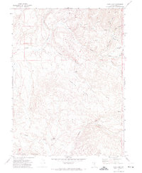
1970 · China Camp
USGS Topo · 1:24,000
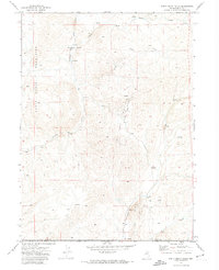
1970 · Santa Renia Fields
USGS Topo · 1:24,000
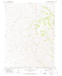
1970 · Beaver Peak
USGS Topo · 1:24,000
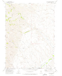
1970 · Beaver Creek
USGS Topo · 1:24,000
1972 · Lake Mountain
USGS Topo · 1:24,000