Old Maps of Crescent Valley, Nevada for Metal Detecting
Plan your next treasure hunt with 11 historic maps of Crescent Valley. Find old homesites, ghost towns, trails, and gathering spots that may be lost to time — perfect for identifying promising metal detecting locations.
- Locate forgotten sites: Uncover places like long-lost settlements, abandoned rail lines, or gathering spots.
- Plan better hunts: Use map overlays combined with LiDAR or satellite views to narrow in on historically rich areas.
- Made for detectorists: Thousands of hobbyists use these maps to discover relics, coins, and hidden history.
Use these historic maps to boost your research and find new opportunities beneath the surface of Crescent Valley.
Crescent Valley, NV maps
(11)- 1949 Map of Crescent Valley, 1958 Print
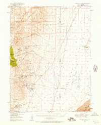 1949 Crescent Valley1958 Print · USGSCrescent Valley and the surrounding ranges are shown here in the late 1940s as a landscape of mining and ranching. Trace old mining operations at the Gold Acres Mine, find the Lander (Site), or locate the Dean Ranch.2 unique versions available
 - 1950 Map of Crescent Valley
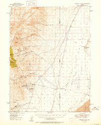 1950 Crescent Valley1950 Print · USGSCrescent Valley at the mid-century reveals a landscape of active gold mining and earlier silver-era relics. Researchers can trace the lineage of local mining at the Gold Acres Mine or locate the historic town of Tenabo and the Lander (Site).2 unique versions available
 - 1955 Map of Winnemucca, 1968 Print
 1955 Winnemucca1968 Print · USGSNorthern Nevada's high desert corridor is captured here in the mid-fifties, centered on the river-and-rail hub of Winnemucca. Researchers can trace the dual tracks of the Southern Pacific and Western Pacific railroads through towns like Golconda and Valmy.3 unique versions available
 - 1958 Map of Winnemucca
 1958 Winnemucca1958 Print · USGSNorthern Nevada in the late fifties was defined by the parallel rhythms of the great transcontinental railroads and a resilient mining industry. Genealogists and historians can trace old mining camps and remote rail sidings from Gold Acres and Palisade to the Adelaide district.2 unique versions available
 - 1962 Map of Winnemucca
 1962 Winnemucca1962 Print · USGSNorthern Nevada's high desert comes alive in the mid-1950s as a vital transportation and mining corridor following the Humboldt River. Trace the early rail-and-ranch economy through stops like Palisade, find old workings at the Adelaide Mine, and see the layout of Winnemucca before the interstate era.
 - 1985 Map of Crescent Valley, 1986 Print
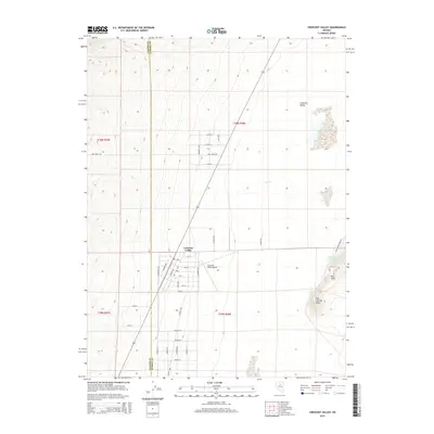
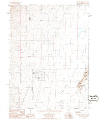 1985 Crescent Valley1986 Print · USGSIn the mid-1980s, this high-desert valley was a hub of mining exploration and geothermal activity. Genealogists and historians can trace the settlement of Crescent Valley, the local Landing Strip, and numerous Prospect sites near Hot Springs Point.
 - 1987 Map of Crescent Valley, 1988 Print
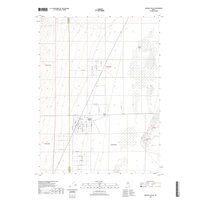
 1987 Crescent Valley1988 Print · USGSThe high desert basins of central Nevada are shown in the late 1980s, highlighting the mining districts and rail corridors of the Great Basin. Genealogists and historians can trace early settlements like Beowawe and Tenabo alongside the Southern Pacific railroad.2 unique versions available
 - 2012 Map of Crescent Valley, 2012 Print
 2012 Crescent Valley2012 Print · USGSCovers Crescent Valley, including Lander County, Eureka County, and other nearby areas
 - 2015 Map of Crescent Valley, 2015 Print
 2015 Crescent Valley2015 Print · USGSCovers Crescent Valley, including Lander County, Eureka County, and other nearby areas
 - 2018 Map of Crescent Valley, 2018 Print
 2018 Crescent Valley2018 Print · USGSCovers Crescent Valley, including Lander County, Eureka County, and other nearby areas
 - 2021 Map of Crescent Valley, 2021 Print
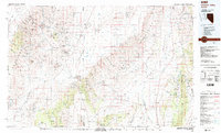
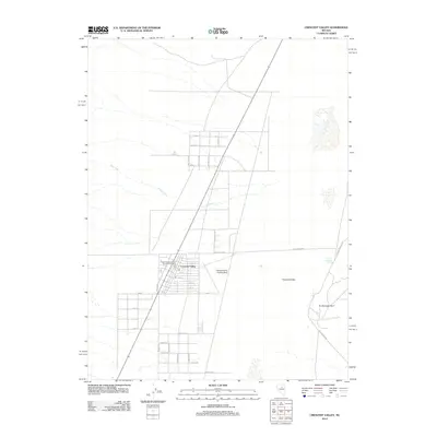
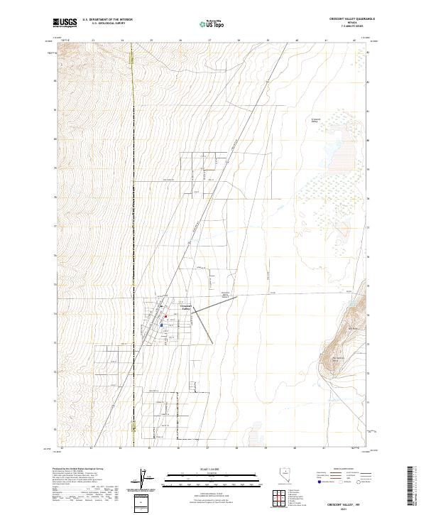 2021 Crescent Valley2021 Print · USGSCrescent Valley is shown in this contemporary record as a desert community precisely divided by the county line between Eureka and Lander. Researchers can trace the town’s residential grid and find landmarks like Crescent Valley Hot Springs and Hot Springs Point.
End of results
Showing maps 1-11 of 11
Frequently asked questions
- What are the different types of historical maps available for Crescent Valley?
- What is the oldest map of Crescent Valley?
- Where can I purchase historical maps of Crescent Valley for my home or office?
- Where can I download high-res historical maps of Crescent Valley?
- Are there historical topographic maps available for Crescent Valley?
- Is there historical aerial imagery available for Crescent Valley?
- Where are historical maps of Crescent Valley sourced from?