Old Maps of Emigrant Pass, Nevada for Hiking & Exploration
Hike through history with 10 historic maps of Emigrant Pass. Explore old trails, ghost towns, and forgotten backroads — perfect for outdoor adventurers and local explorers.
- Rediscover forgotten places: Map out old mining camps, roads, and footpaths that no longer exist on modern maps.
- Layer with modern tools: Combine with LiDAR or satellite views to plan hikes through historical terrain.
- Made for exploration: Popular among hikers, overlanders, and local history lovers.
Use these maps to find adventure and explore the hidden past of Emigrant Pass.
Emigrant Pass, NV maps
(10)- 1955 Map of Winnemucca, 1968 Print
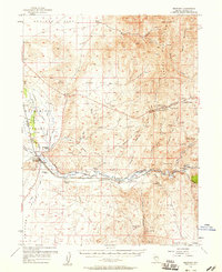
 1955 Winnemucca1968 Print · USGSNorthern Nevada's high desert corridor is captured here in the mid-fifties, centered on the river-and-rail hub of Winnemucca. Researchers can trace the dual tracks of the Southern Pacific and Western Pacific railroads through towns like Golconda and Valmy.3 unique versions available
 - 1957 Map of Beowawe, 1958 Print
 1957 Beowawe1958 Print · USGSCentral Nevada's Humboldt River valley was a critical transit corridor for both steam and rail in the late fifties. Genealogists and historians can trace the California Trail alongside 20th-century landmarks like the Maidens Grave Cemetery and Horseshoe Ranch.2 unique versions available
 - 1958 Map of Winnemucca
 1958 Winnemucca1958 Print · USGSNorthern Nevada in the late fifties was defined by the parallel rhythms of the great transcontinental railroads and a resilient mining industry. Genealogists and historians can trace old mining camps and remote rail sidings from Gold Acres and Palisade to the Adelaide district.2 unique versions available
 - 1962 Map of Winnemucca
 1962 Winnemucca1962 Print · USGSNorthern Nevada's high desert comes alive in the mid-1950s as a vital transportation and mining corridor following the Humboldt River. Trace the early rail-and-ranch economy through stops like Palisade, find old workings at the Adelaide Mine, and see the layout of Winnemucca before the interstate era.
 - 1986 Map of Emigrant Pass
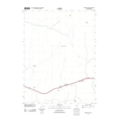
 1986 Emigrant Pass1986 Print · USGSThe Nevada high country of the mid-1980s reveals a landscape of vital water sources and early communication networks. Genealogists and historians can trace the paths near Emigrant Pass and locate Primeaux Springs and the Cave Mineshaft.
 - 1988 Map of Battle Mountain
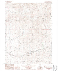
 1988 Battle Mountain1988 Print · USGSNorth-central Nevada in the late eighties shows a landscape deeply tied to the Humboldt River and its heavy rail corridors. Trace the path of the Southern Pacific through high-desert hubs like Battle Mountain, Beowawe, and the Schroeder Mountain Mine.
 - 2012 Map of Emigrant Pass, 2012 Print
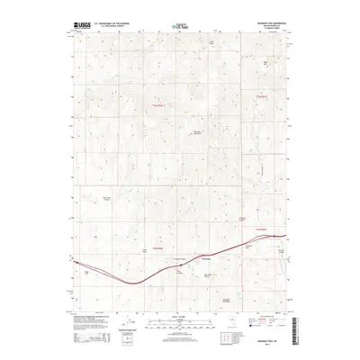
 2012 Emigrant Pass2012 Print · USGSCovers Emigrant Pass, including Eureka County, United States, and other nearby areas
 - 2014 Map of Emigrant Pass, 2014 Print
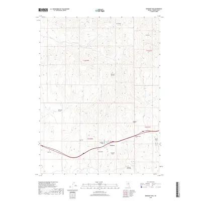
 2014 Emigrant Pass2014 Print · USGSCovers Emigrant Pass, including Eureka County, United States, and other nearby areas
 - 2018 Map of Emigrant Pass, 2018 Print
 2018 Emigrant Pass2018 Print · USGSCovers Emigrant Pass, including Eureka County, United States, and other nearby areas
 - 2021 Map of Emigrant Pass, 2021 Print
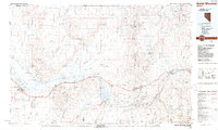
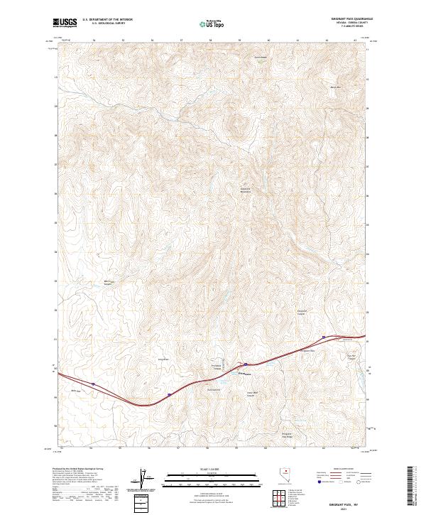 2021 Emigrant Pass2021 Print · USGSEureka County’s high-desert landscape is documented here in the early twenty-first century, centered on the strategic corridor of the Tuscarora Mountains. Trace the path through Emigrant Pass and locate remote water sources like Emigrant Spring and Highway Spring.
End of results
Showing maps 1-10 of 10
Top cities near Emigrant Pass
Frequently asked questions
- What are the different types of historical maps available for Emigrant Pass?
- What is the oldest map of Emigrant Pass?
- Where can I purchase historical maps of Emigrant Pass for my home or office?
- Where can I download high-res historical maps of Emigrant Pass?
- Are there historical topographic maps available for Emigrant Pass?
- Is there historical aerial imagery available for Emigrant Pass?
- Where are historical maps of Emigrant Pass sourced from?