
1955 Map of Winnemucca
USGS Topo · Published 1968About this map
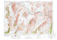
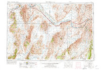
The Humboldt River corridor serves as the primary artery for northern Nevada's transit and settlement in this mid-century survey. Major rail infrastructure, including the Southern Pacific and Western Pacific railroads, parallels the river and the path of Route 40, connecting established towns like Winnemucca and Battle Mountain. The map reveals the industrial and geographic character of the region, where extractive sites such as an Iron Mine and Gravel Pit sit amidst high desert ranges like the Sonoma Range and Tuscarora Mountains. A small Indian Res near the northern boundary and the Reese River confluence demonstrate the intersection of historic land use and tribal territory. The prominence of FAA aviation markers at Winnemucca and Battle Mountain highlights the importance of this corridor for mid-twentieth-century air navigation across the Great Basin.
Find a feature on this map
41 named features on this map. Tap any name to fly to it.
Don’t see what you’re looking for? This feature index may not catch every label — zoom into the map to look around manually.
Map Details
Editions of this 1955 Winnemucca Map
3 editions found
Other maps of this area

1882 · Paradise
USGS Topo · 1:250,000

1886 · Disaster
USGS Topo · 1:250,000

1893 · Paradise
USGS Topo · 1:250,000

1893 · Disaster
USGS Topo · 1:250,000

1908 · Carson Sink
USGS Topo · 1:250,000

1910 · Carson Sink
USGS Topo · 1:250,000

1926 · Roberts Mountains
USGS Topo · 1:250,000

1929 · Roberts Mountains
USGS Topo · 1:250,000

1931 · Lovelock
USGS Topo · 1:250,000

1932 · Sonoma Range
USGS Topo · 1:250,000