
1929 Map of Roberts Mountains
USGS Topo · Published 1929About this map
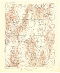
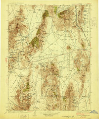
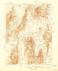
Roberts Mountains and the surrounding high basins of central Nevada are documented here in the late 1920s, showing a landscape defined by isolated ranching outposts and mineral extraction. The map reveals a network of family-held properties such as the Siri Ranch, Sadler Ranch, and Brackney Ranch situated near vital water sources like Shipley Hot Springs. These springs, including Spencers Hot Springs and Potts Hot Springs, were essential anchors for settlement in the arid Kobeh Valley and Garden Valley. Industrial activity is marked by the Keystone Mine in the northern ranges and the Birch Creek Mine to the west. The social infrastructure of these remote districts is evidenced by several rural schoolhouses, including the Grass Valley Sch and Twin Springs Sch, which served the scattered population before modern consolidation.
Find a feature on this map
153 named features on this map. Tap any name to fly to it.
Don’t see what you’re looking for? This feature index may not catch every label — zoom into the map to look around manually.
Map Details
Editions of this 1929 Roberts Mountains Map
4 editions found
Other maps of this area

1907 · Tonopah
USGS Topo · 1:250,000

1908 · Tonopah
USGS Topo · 1:250,000

1926 · Roberts Mountains
USGS Topo · 1:250,000

1932 · Sonoma Range
USGS Topo · 1:250,000

1934 · Jiggs
USGS Topo · 1:125,000

1937 · Mineral Hill
USGS Topo · 1:48,000

1937 · Jiggs
USGS Topo · 1:125,000

1938 · Cortez
USGS Topo · 1:48,000

1939 · Sonoma Range
USGS Topo · 1:250,000

1943 · Mineral Hill
USGS Topo · 1:62,500