
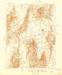
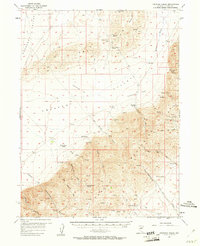
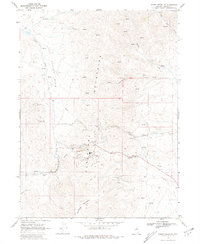
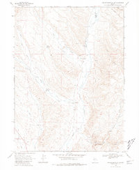
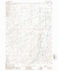
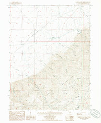
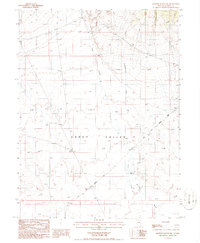
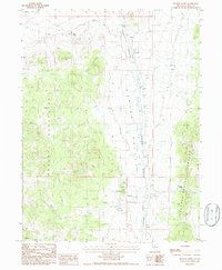
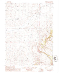
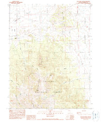
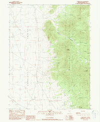
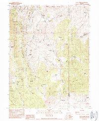
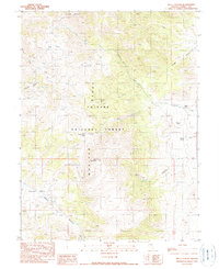
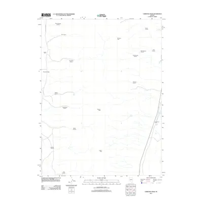
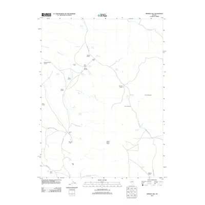
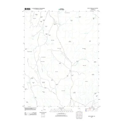
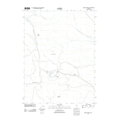
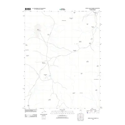
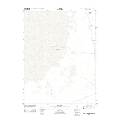
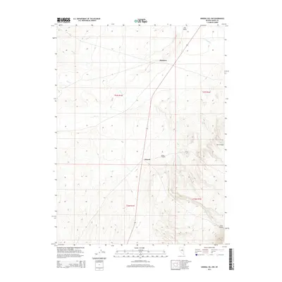
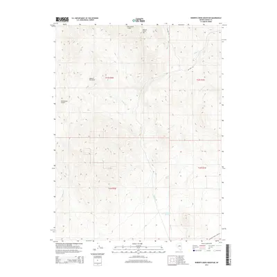
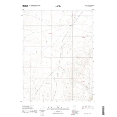
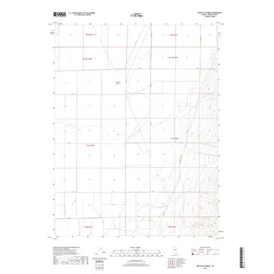
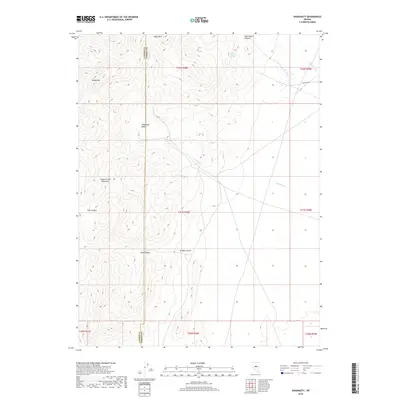
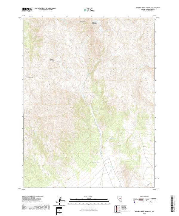
1926 Map of Roberts Mountains
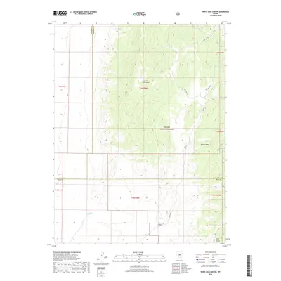
USGS Topo · Published 1955About this map
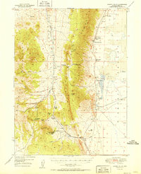
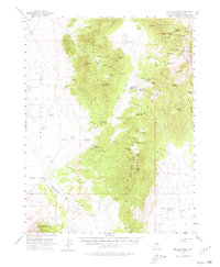
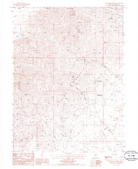
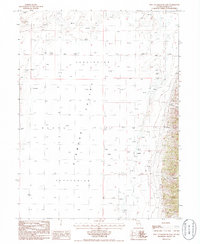
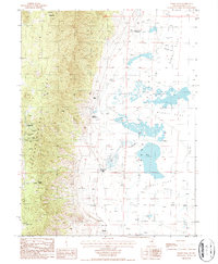
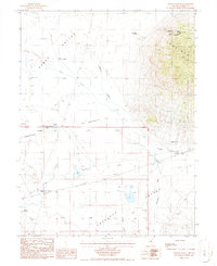
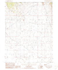
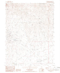
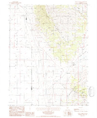
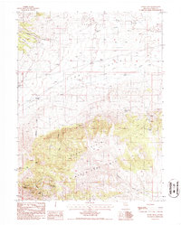
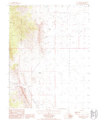
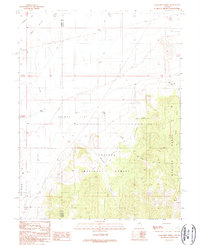
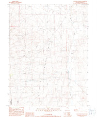
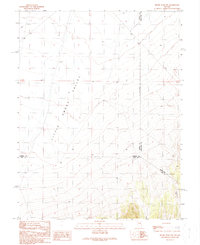
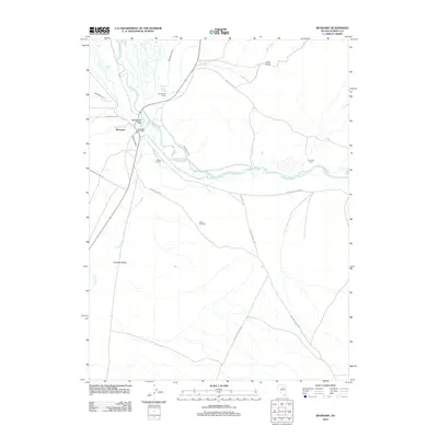
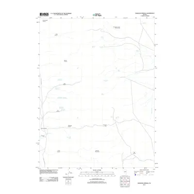
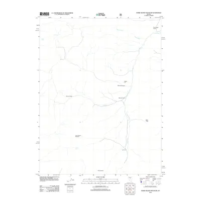
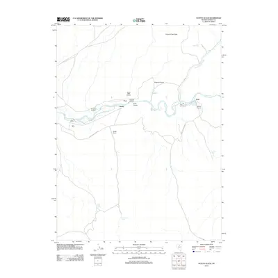
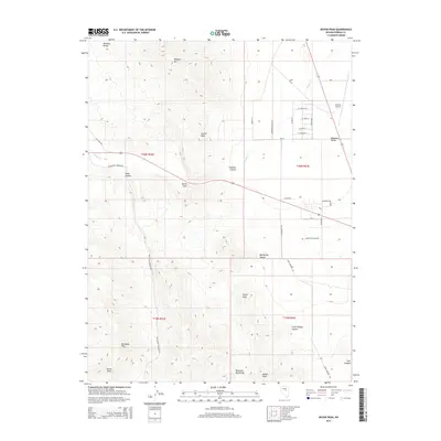
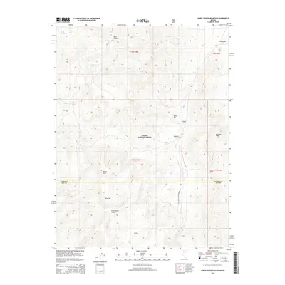
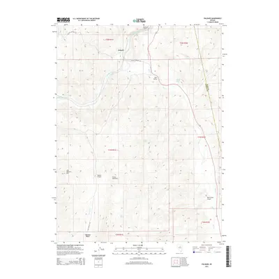
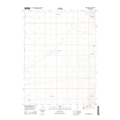
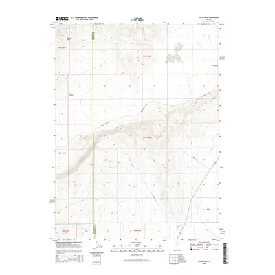
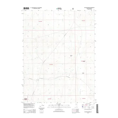
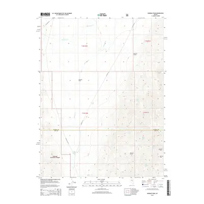
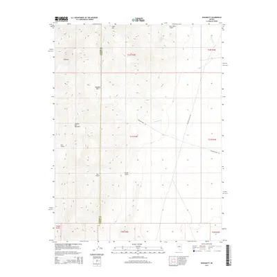
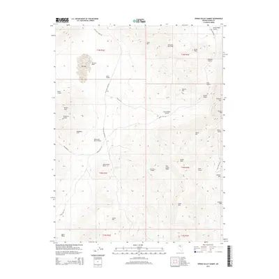
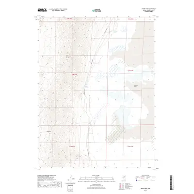
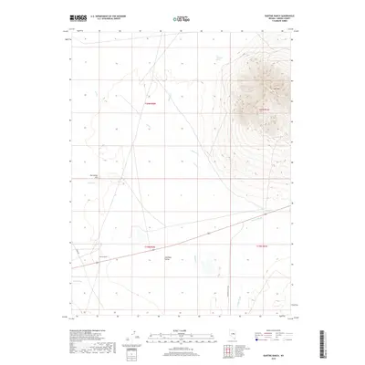
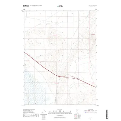
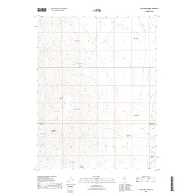
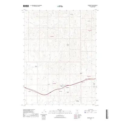
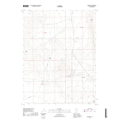
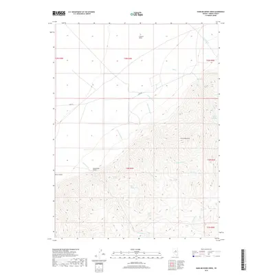
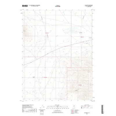
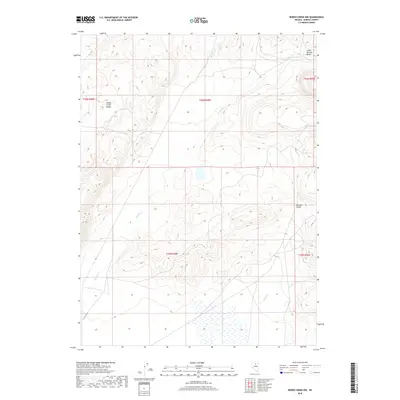
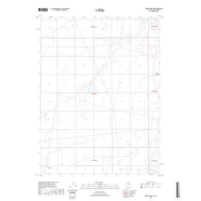
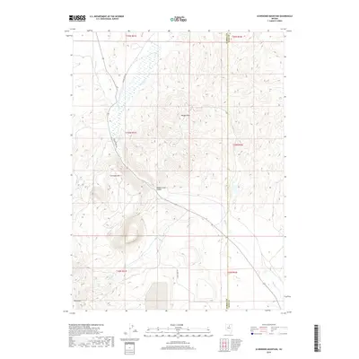
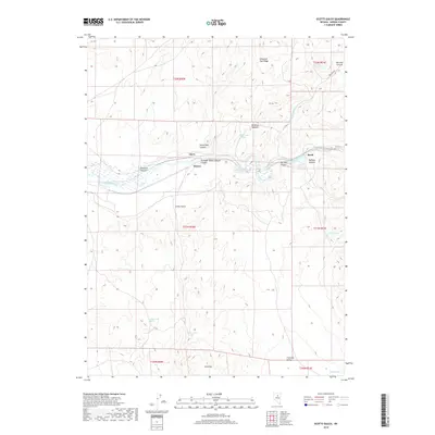
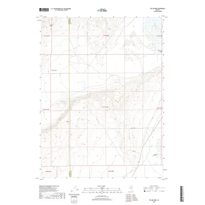
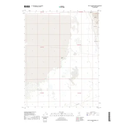
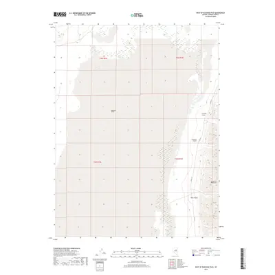
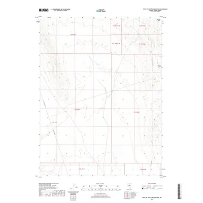
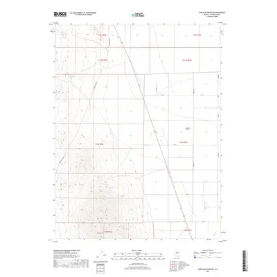
Grass Valley and the Toiyabe Range anchor this mid-1920s survey of central Nevada, a landscape defined by isolated homesteads and high-desert springs. The settlement pattern is dominated by working ranches, including Hall Creek Ranch, Brackney Ranch, and Siri Ranch, reflecting the era's cattle and sheep economy. Educational infrastructure appears as small country schools like the Grass Valley Sch and Twin Springs Sch, which served the scattered families of the Great Basin. Mining activity is preserved in the location of the Keystone Mine and Birch Creek Mine. Notable hydrological features like Dianas Punch Bowl and Spencers Hot Springs stand out against the arid expanse of the Simpson Park Mountains and Kobeh Valley. The map also captures the path of Highway 50 as it crosses the Toiyabe National Forest, providing a detailed look at travel routes through the Great Basin before major modernization.
Find a feature on this map
131 named features on this map. Tap any name to fly to it.
Don’t see what you’re looking for? This feature index may not catch every label — zoom into the map to look around manually.
Map Details
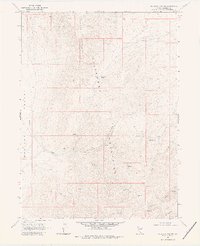
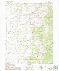
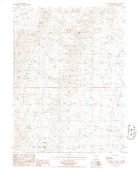
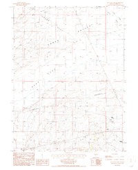
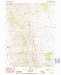
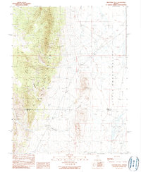
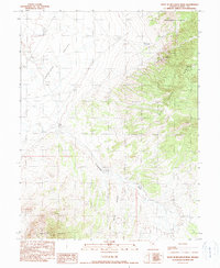
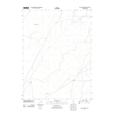
Editions of this 1926 Roberts Mountains Map
This is the sole edition of this map. No revisions or reprints were ever made.
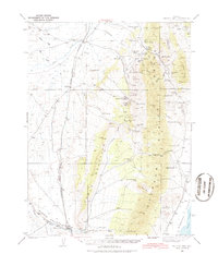
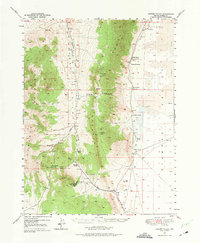
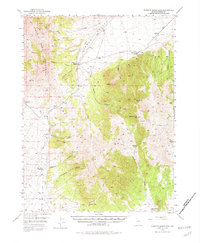
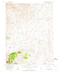
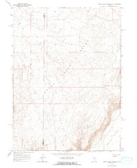
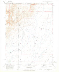
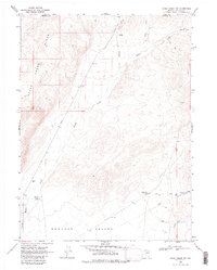
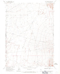
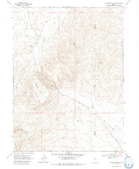
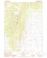
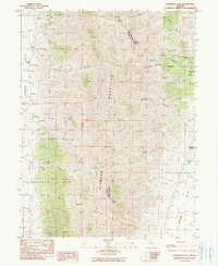
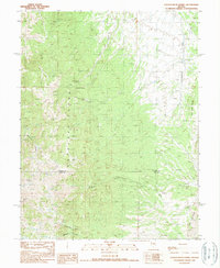
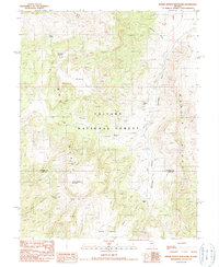
Historical Maps of Nevin Through Time
410 maps found
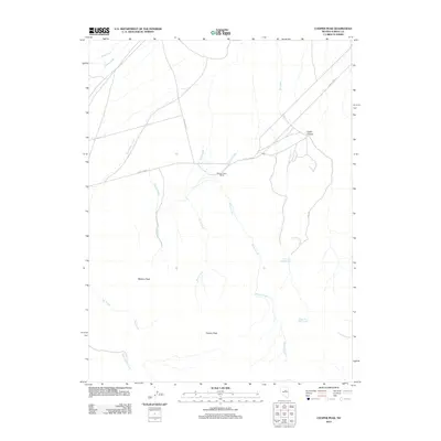
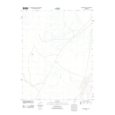
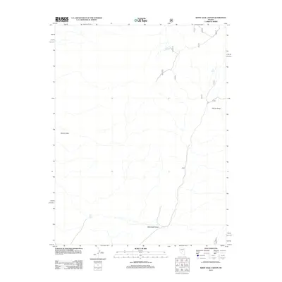
1926 Roberts Mountains
Eureka County, NV
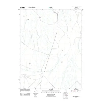
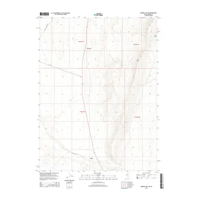
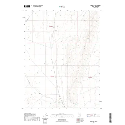
1929 Roberts Mountains
Eureka County, NV
1937 Mineral Hill
Eureka County, NV

1943 Mineral Hill
Eureka County, NV
1949 Garden Valley
Eureka County, NV
1949 Roberts Creek Mtn
Eureka County, NV
1951 Garden Valley
Eureka County, NV

1951 Roberts Creek Mtn
Eureka County, NV
1952 Pine Valley
Eureka County, NV
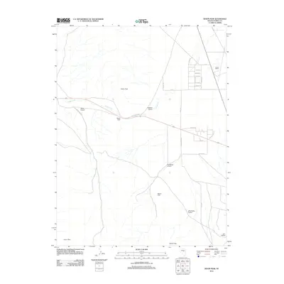
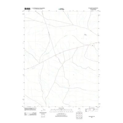
1956 Antelope Peak
Eureka County, NV
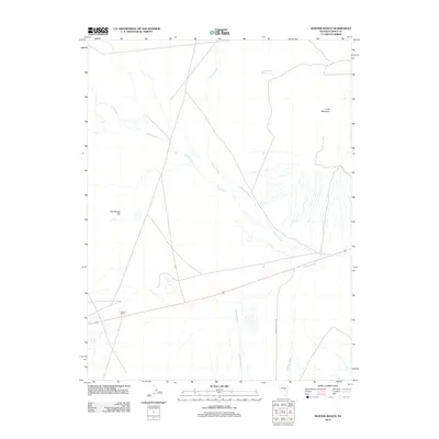
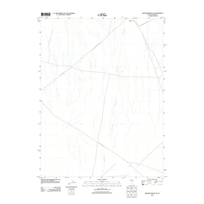
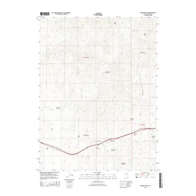
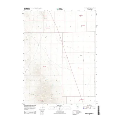
1956 Bartine Ranch
Eureka County, NV
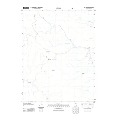
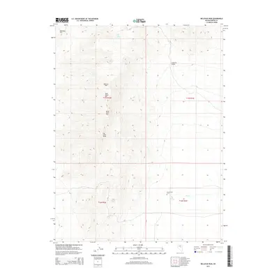
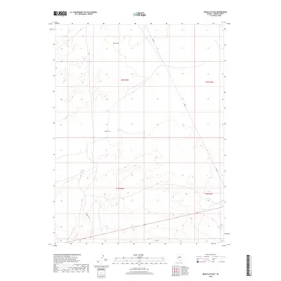
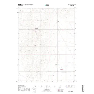
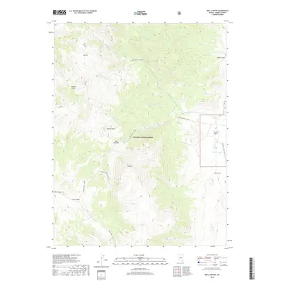
1956 Bellevue Peak
Eureka County, NV
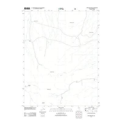
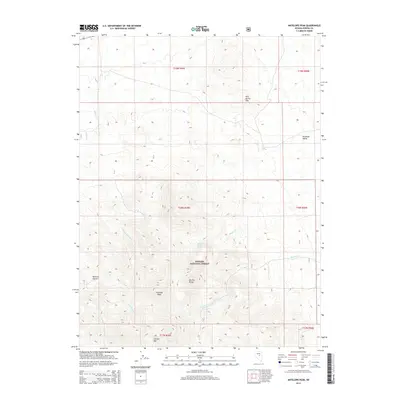
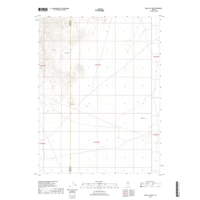
1956 Whistler Mtn
Eureka County, NV
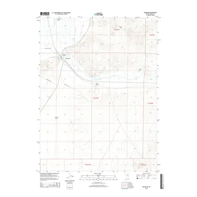
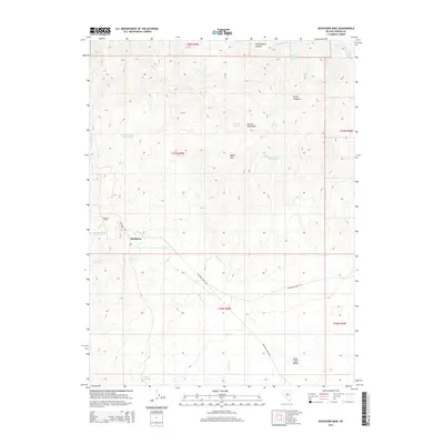
1957 Beowawe
Eureka County, NV
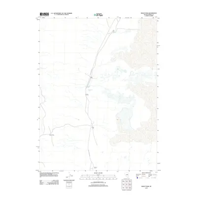
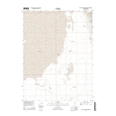
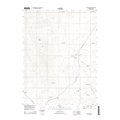
1957 Diamond Springs
Eureka County, NV
1957 Frenchie Creek
Eureka County, NV
1957 Horse Creek Valley
Eureka County, NV
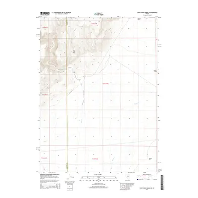
1965 Sheep Creek Range NE
Eureka County, NV
1965 Sheep Creek Range SE
Eureka County, NV
1968 Rodeo Creek NE
Eureka County, NV
1968 Rodeo Creek NW
Eureka County, NV
1968 Rodeo Creek SW
Eureka County, NV
1968 Schroeder Mtn
Eureka County, NV
1968 Swales Mountain NW
Eureka County, NV
1968 Welches Canyon
Eureka County, NV
1978 Summit Mountain
Eureka County, NV
1979 Simpson Park Mtns
Eureka County, NV
1985 Carlin West
Eureka County, NV
1985 Coffin Mtn
Eureka County, NV
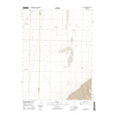
1985 East of Tenabo
Eureka County, NV
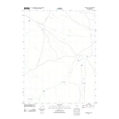
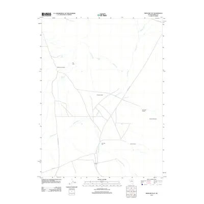
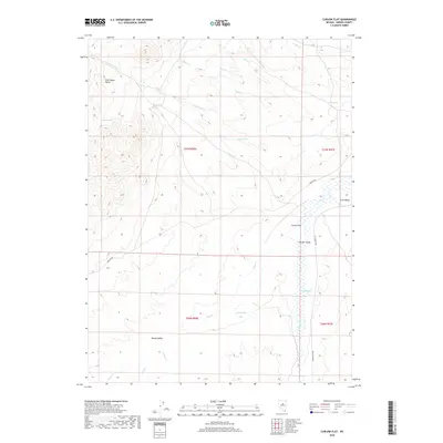
1985 Frenchie Flat
Eureka County, NV
1985 Hand-Me-Down Creek
Eureka County, NV
1985 McCormack Spring
Eureka County, NV
1985 Palisade
Eureka County, NV
1985 Scotts Gulch
Eureka County, NV
1985 Thatcher Spring
Eureka County, NV
1985 The Geysers
Eureka County, NV
1985 Tumbleweed Flat
Eureka County, NV
1985 West of Coffin Mtn
Eureka County, NV
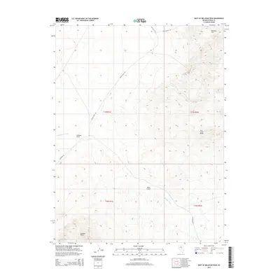
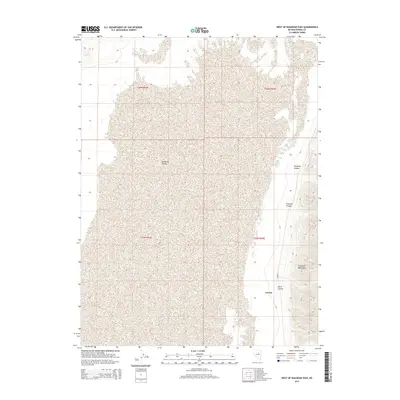
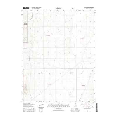
1985 West of Railroad Pass
Eureka County, NV
1986 Bailey Pass
Eureka County, NV
1986 Bartine Ranch
Eureka County, NV
1986 Bartine Ranch NE
Eureka County, NV
1986 Bartine Ranch NW
Eureka County, NV
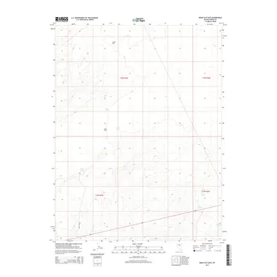
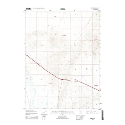
1986 Bean Flat East
Eureka County, NV

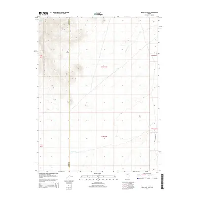
1986 Bean Flat West
Eureka County, NV
1986 Beowawe
Eureka County, NV
1986 Bobs Flat
Eureka County, NV
1986 Buckhorn Mine
Eureka County, NV
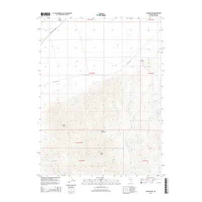
1986 Cooper Peak
Eureka County, NV
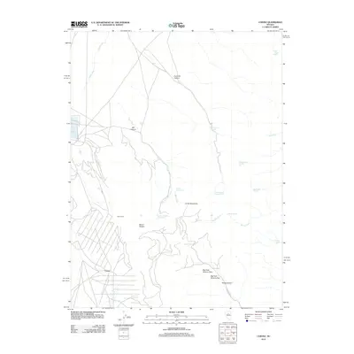
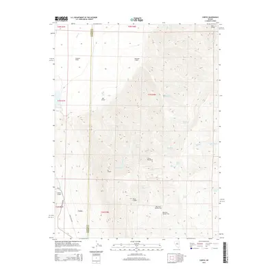
1986 Cortez
Eureka County, NV
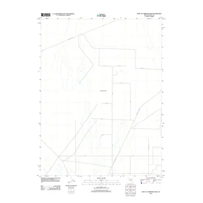
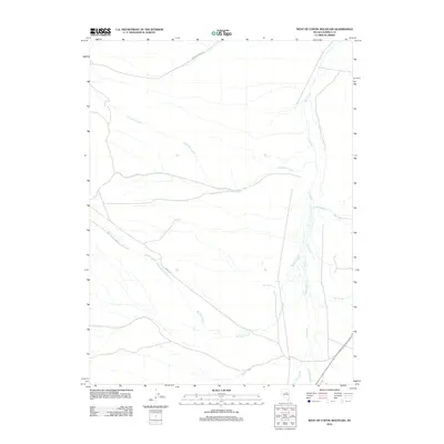
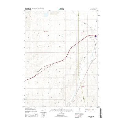
1986 Curlow Flat
Eureka County, NV

1986 Devon Peak
Eureka County, NV
1986 Dugout Spring
Eureka County, NV
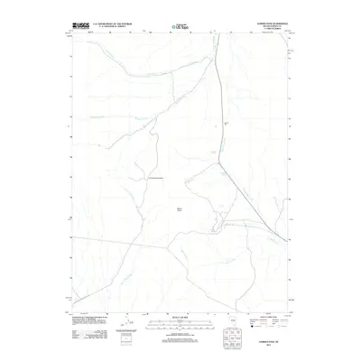
1986 Dunphy
Eureka County, NV
1986 Emigrant Pass
Eureka County, NV
1986 Fagin Mountain
Eureka County, NV
1986 Frazier Creek
Eureka County, NV
1986 Garden Pass
Eureka County, NV
1986 Hay Ranch
Eureka County, NV
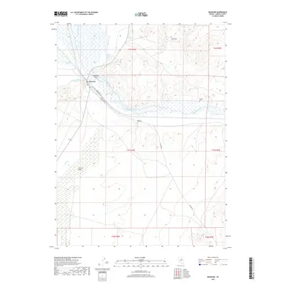
1986 Mineral Hill
Eureka County, NV
1986 Mineral Hill NW
Eureka County, NV
1986 Mineral Hill SW
Eureka County, NV
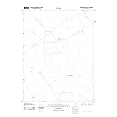
1986 Pete Hanson Creek
Eureka County, NV
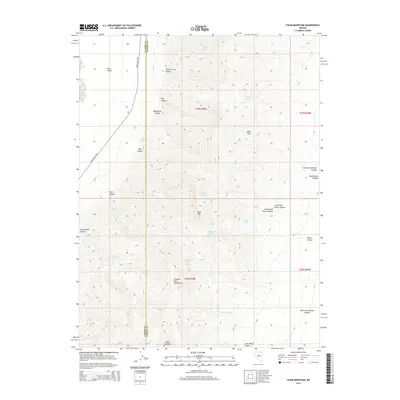
1986 Roberts Creek Mtn
Eureka County, NV
1986 Rocky Hills
Eureka County, NV
1986 Shagnasty
Eureka County, NV

1986 Telegraph Canyon
Eureka County, NV
1986 Three Bar Ranch
Eureka County, NV
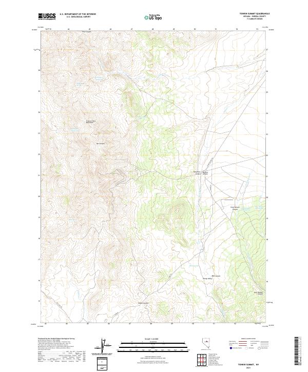
1986 Tonkin Summit
Eureka County, NV
1986 Tule Dam Spring
Eureka County, NV
1986 Walti Hot Springs
Eureka County, NV
1986 West of Whistler Mtn
Eureka County, NV
1986 Whistler Mtn
Eureka County, NV
1989 Jackrabbit Spring
Eureka County, NV
1989 Ninemile Peak
Eureka County, NV
1989 Wallace Canyon
Eureka County, NV
1989 White Sage Canyon
Eureka County, NV
1990 Antelope Peak
Eureka County, NV
1990 Bellevue Peak
Eureka County, NV
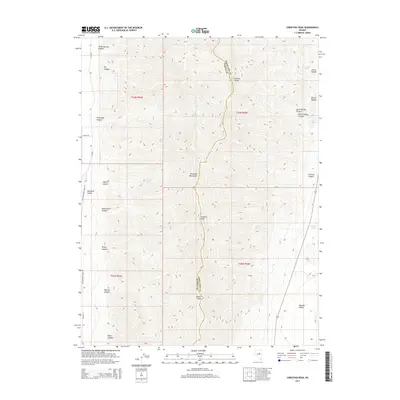
1990 Christina Peak
Eureka County, NV
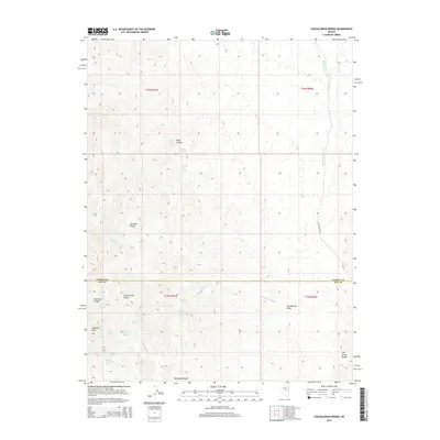
1990 Cockalorum Spring
Eureka County, NV
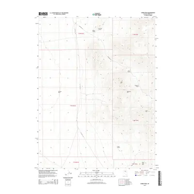
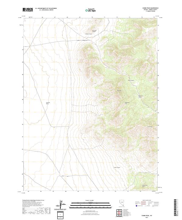
1990 Combs Peak
Eureka County, NV
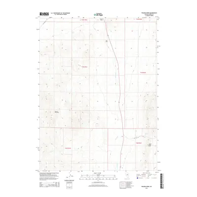
1990 Diamond Springs
Eureka County, NV
1990 Eightmile Well
Eureka County, NV
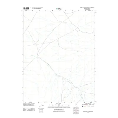
1990 Horse Heaven Mountain
Eureka County, NV
1990 Kitchen Meadow
Eureka County, NV
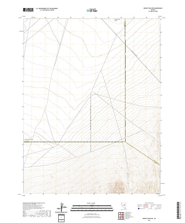
1990 Moody Peak NW
Eureka County, NV
1990 Ninemile Peak
Eureka County, NV
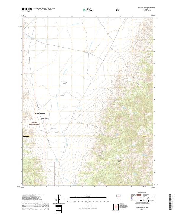
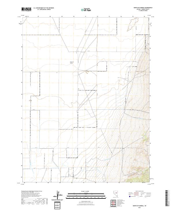
1990 North of Eureka
Eureka County, NV
1990 Pinto Summit
Eureka County, NV
1990 Pinto Summit SW
Eureka County, NV
1990 Spring Valley Summit
Eureka County, NV
1990 Sullivan Wash
Eureka County, NV
1990 Well Canyon
Eureka County, NV
1990 West of Bellevue Peak
Eureka County, NV
1990 West of Christina Peak
Eureka County, NV
1990 West of Diamond Springs
Eureka County, NV
2012 Antelope Peak
Eureka County, NV
2012 Bailey Pass
Eureka County, NV
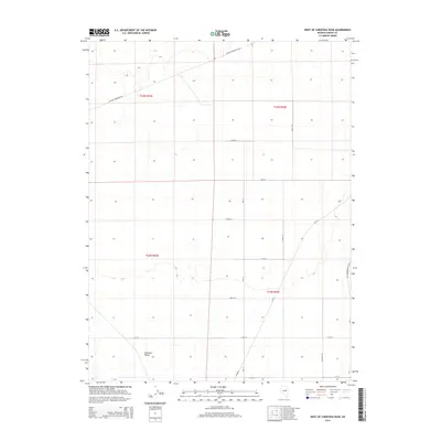
2012 Bartine Ranch
Eureka County, NV
2012 Bartine Ranch NE
Eureka County, NV
2012 Bartine Ranch NW
Eureka County, NV
2012 Bean Flat East
Eureka County, NV
2012 Bean Flat West
Eureka County, NV
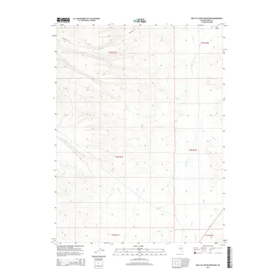
2012 Bellevue Peak
Eureka County, NV
2012 Beowawe
Eureka County, NV
2012 Bobs Flat
Eureka County, NV
2012 Buckhorn Mine
Eureka County, NV
2012 Carlin West
Eureka County, NV
2012 Christina Peak
Eureka County, NV
2012 Cockalorum Spring
Eureka County, NV
2012 Coffin Mountain
Eureka County, NV
2012 Combs Peak
Eureka County, NV
2012 Cooper Peak
Eureka County, NV
2012 Cortez
Eureka County, NV
2012 Curlow Flat
Eureka County, NV
2012 Devon Peak
Eureka County, NV
2012 Diamond Springs
Eureka County, NV
2012 Dugout Spring
Eureka County, NV
2012 Dunphy
Eureka County, NV
2012 East of Tenabo
Eureka County, NV
2012 Eightmile Well
Eureka County, NV
2012 Emigrant Pass
Eureka County, NV
2012 Fagin Mountain
Eureka County, NV
2012 Frazier Creek
Eureka County, NV
2012 Frenchie Flat
Eureka County, NV
2012 Garden Pass
Eureka County, NV
2012 Hand-me-down Creek
Eureka County, NV
2012 Hay Ranch
Eureka County, NV
2012 Horse Heaven Mountain
Eureka County, NV
2012 Jackrabbit Spring
Eureka County, NV
2012 Kitchen Meadow
Eureka County, NV
2012 McCormack Spring
Eureka County, NV
2012 Mineral Hill
Eureka County, NV
2012 Mineral Hill NW
Eureka County, NV
2012 Mineral Hill SW
Eureka County, NV
2012 Moody Peak NW
Eureka County, NV
2012 Ninemile Peak
Eureka County, NV
2012 North of Eureka
Eureka County, NV
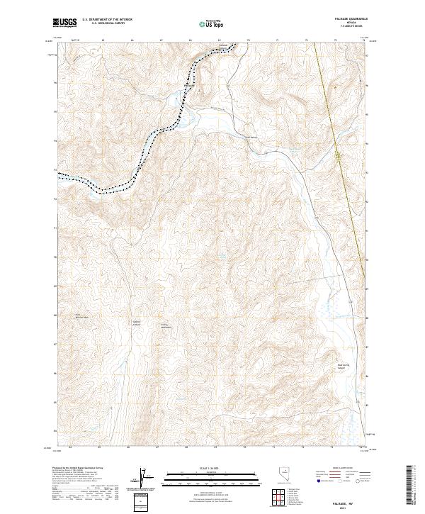
2012 Palisade
Eureka County, NV
2012 Pete Hanson Creek
Eureka County, NV
2012 Pinto Summit
Eureka County, NV
2012 Pinto Summit SW
Eureka County, NV
2012 Roberts Creek Mountain
Eureka County, NV
2012 Rocky Hills
Eureka County, NV
2012 Rodeo Creek NE
Eureka County, NV
2012 Rodeo Creek NW
Eureka County, NV
2012 Rodeo Creek SW
Eureka County, NV
2012 Schroeder Mountain
Eureka County, NV
2012 Scotts Gulch
Eureka County, NV
2012 Shagnasty
Eureka County, NV
2012 Sheep Creek Range NE
Eureka County, NV
2012 Sheep Creek Range SE
Eureka County, NV
2012 Spring Valley Summit
Eureka County, NV

2012 Sullivan Wash
Eureka County, NV
2012 Swales Mountain NW
Eureka County, NV
2012 Telegraph Canyon
Eureka County, NV
2012 Thatcher Spring
Eureka County, NV
2012 The Geysers
Eureka County, NV
2012 Three Bar Ranch
Eureka County, NV
2012 Tonkin Summit
Eureka County, NV
2012 Tule Dam Spring
Eureka County, NV
2012 Tumbleweed Flat
Eureka County, NV
2012 Wallace Canyon
Eureka County, NV
2012 Walti Hot Springs
Eureka County, NV
2012 Welches Canyon
Eureka County, NV
2012 Well Canyon
Eureka County, NV
2012 West of Bellevue Peak
Eureka County, NV
2012 West of Christina Peak
Eureka County, NV
2012 West of Coffin Mountain
Eureka County, NV
2012 West of Diamond Springs
Eureka County, NV
2012 West of Railroad Pass
Eureka County, NV
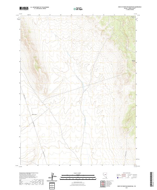
2012 West of Whistler Mountain
Eureka County, NV
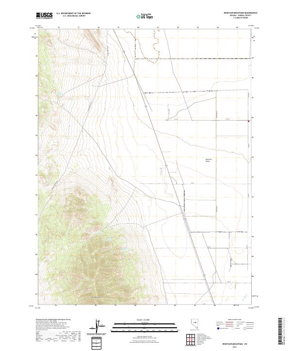
2012 Whistler Mountain
Eureka County, NV
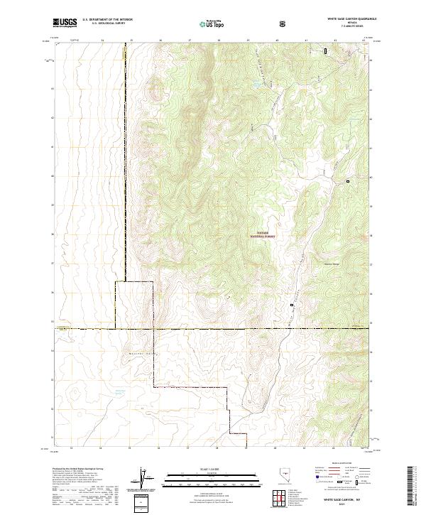
2012 White Sage Canyon
Eureka County, NV
2014 Antelope Peak
Eureka County, NV
2014 Bailey Pass
Eureka County, NV
2014 Bartine Ranch NE
Eureka County, NV
2014 Bean Flat East
Eureka County, NV
2014 Bean Flat West
Eureka County, NV
2014 Bellevue Peak
Eureka County, NV
2014 Beowawe
Eureka County, NV
2014 Bobs Flat
Eureka County, NV
2014 Buckhorn Mine
Eureka County, NV
2014 Carlin West
Eureka County, NV
2014 Christina Peak
Eureka County, NV
2014 Cockalorum Spring
Eureka County, NV
2014 Combs Peak
Eureka County, NV
2014 Cooper Peak
Eureka County, NV
2014 Cortez
Eureka County, NV
2014 Devon Peak
Eureka County, NV
2014 Diamond Springs
Eureka County, NV
2014 Dugout Spring
Eureka County, NV
2014 Dunphy
Eureka County, NV
2014 East of Tenabo
Eureka County, NV
2014 Emigrant Pass
Eureka County, NV
2014 Fagin Mountain
Eureka County, NV
2014 Frazier Creek
Eureka County, NV
2014 Frenchie Flat
Eureka County, NV
2014 Garden Pass
Eureka County, NV
2014 Hand-me-down Creek
Eureka County, NV
2014 Hay Ranch
Eureka County, NV
2014 Horse Heaven Mountain
Eureka County, NV
2014 Jackrabbit Spring
Eureka County, NV
2014 McCormack Spring
Eureka County, NV
2014 Mineral Hill
Eureka County, NV
2014 Mineral Hill NW
Eureka County, NV
2014 Mineral Hill SW
Eureka County, NV
2014 Moody Peak NW
Eureka County, NV
2014 North of Eureka
Eureka County, NV
2014 Palisade
Eureka County, NV
2014 Pete Hanson Creek
Eureka County, NV
2014 Pinto Summit
Eureka County, NV
2014 Pinto Summit SW
Eureka County, NV
2014 Roberts Creek Mountain
Eureka County, NV
2014 Rocky Hills
Eureka County, NV
2014 Rodeo Creek NE
Eureka County, NV
2014 Rodeo Creek NW
Eureka County, NV
2014 Rodeo Creek SW
Eureka County, NV
2014 Schroeder Mountain
Eureka County, NV
2014 Scotts Gulch
Eureka County, NV
2014 Sheep Creek Range NE
Eureka County, NV
2014 Sheep Creek Range SE
Eureka County, NV
2014 Swales Mountain NW
Eureka County, NV
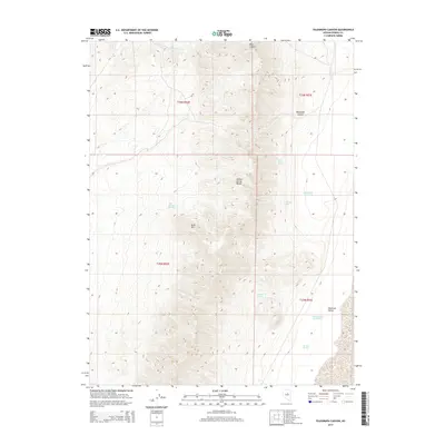
2014 Telegraph Canyon
Eureka County, NV
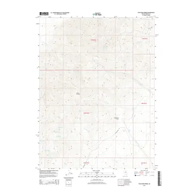
2014 Thatcher Spring
Eureka County, NV
2014 The Geysers
Eureka County, NV
2014 Three Bar Ranch
Eureka County, NV
2014 Tule Dam Spring
Eureka County, NV
2014 Tumbleweed Flat
Eureka County, NV
2014 Wallace Canyon
Eureka County, NV
2014 Walti Hot Springs
Eureka County, NV
2014 Welches Canyon
Eureka County, NV
2014 Well Canyon
Eureka County, NV
2014 West of Bellevue Peak
Eureka County, NV
2014 West of Christina Peak
Eureka County, NV
2014 West of Coffin Mountain
Eureka County, NV
2014 West of Diamond Springs
Eureka County, NV
2014 West of Railroad Pass
Eureka County, NV
2014 Whistler Mountain
Eureka County, NV
2014 White Sage Canyon
Eureka County, NV
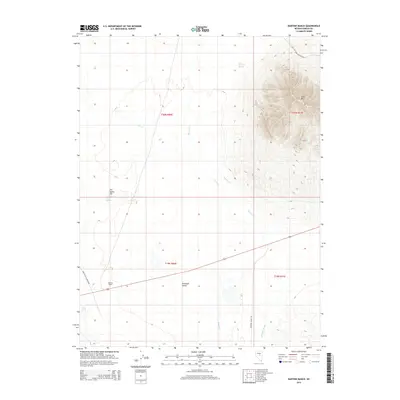
2015 Bartine Ranch
Eureka County, NV
2015 Bartine Ranch NW
Eureka County, NV
2015 Coffin Mountain
Eureka County, NV
2015 Curlow Flat
Eureka County, NV
2015 Eightmile Well
Eureka County, NV
2015 Kitchen Meadow
Eureka County, NV
2015 Ninemile Peak
Eureka County, NV
2015 Shagnasty
Eureka County, NV
2015 Spring Valley Summit
Eureka County, NV
2015 Sullivan Wash
Eureka County, NV
2015 Tonkin Summit
Eureka County, NV
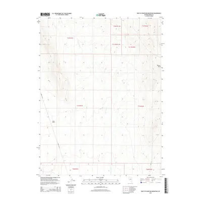
2015 West of Whistler Mountain
Eureka County, NV
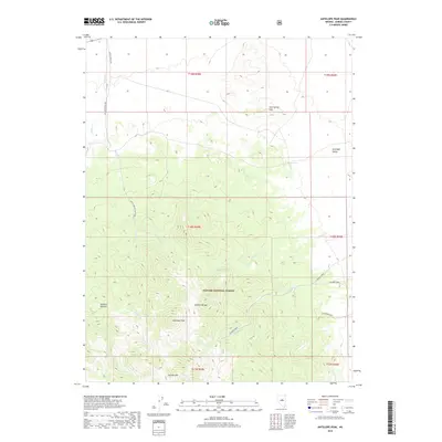
2018 Antelope Peak
Eureka County, NV
2018 Bailey Pass
Eureka County, NV
2018 Bartine Ranch
Eureka County, NV
2018 Bartine Ranch NE
Eureka County, NV
2018 Bartine Ranch NW
Eureka County, NV
2018 Bean Flat East
Eureka County, NV
2018 Bean Flat West
Eureka County, NV
2018 Bellevue Peak
Eureka County, NV
2018 Beowawe
Eureka County, NV
2018 Bobs Flat
Eureka County, NV
2018 Buckhorn Mine
Eureka County, NV
2018 Carlin West
Eureka County, NV
2018 Christina Peak
Eureka County, NV
2018 Cockalorum Spring
Eureka County, NV
2018 Coffin Mountain
Eureka County, NV
2018 Combs Peak
Eureka County, NV
2018 Cooper Peak
Eureka County, NV
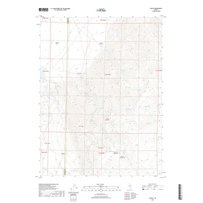
2018 Cortez
Eureka County, NV
2018 Curlow Flat
Eureka County, NV
2018 Devon Peak
Eureka County, NV
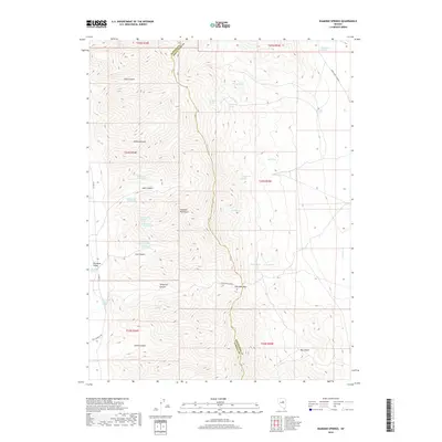
2018 Diamond Springs
Eureka County, NV
2018 Dugout Spring
Eureka County, NV
2018 Dunphy
Eureka County, NV
2018 East of Tenabo
Eureka County, NV
2018 Eightmile Well
Eureka County, NV
2018 Emigrant Pass
Eureka County, NV
2018 Fagin Mountain
Eureka County, NV
2018 Frazier Creek
Eureka County, NV
2018 Frenchie Flat
Eureka County, NV
2018 Garden Pass
Eureka County, NV
2018 Hand-me-down Creek
Eureka County, NV
2018 Hay Ranch
Eureka County, NV
2018 Horse Heaven Mountain
Eureka County, NV
2018 Jackrabbit Spring
Eureka County, NV
2018 Kitchen Meadow
Eureka County, NV
2018 McCormack Spring
Eureka County, NV
2018 Mineral Hill
Eureka County, NV
2018 Mineral Hill NW
Eureka County, NV
2018 Mineral Hill SW
Eureka County, NV
2018 Moody Peak NW
Eureka County, NV
2018 Ninemile Peak
Eureka County, NV
2018 North of Eureka
Eureka County, NV
2018 Palisade
Eureka County, NV
2018 Pete Hanson Creek
Eureka County, NV
2018 Pinto Summit
Eureka County, NV
2018 Pinto Summit SW
Eureka County, NV
2018 Roberts Creek Mountain
Eureka County, NV
2018 Rocky Hills
Eureka County, NV
2018 Rodeo Creek NE
Eureka County, NV
2018 Rodeo Creek NW
Eureka County, NV
2018 Rodeo Creek SW
Eureka County, NV
2018 Schroeder Mountain
Eureka County, NV
2018 Scotts Gulch
Eureka County, NV
2018 Shagnasty
Eureka County, NV
2018 Sheep Creek Range NE
Eureka County, NV
2018 Sheep Creek Range SE
Eureka County, NV
2018 Spring Valley Summit
Eureka County, NV
2018 Sullivan Wash
Eureka County, NV
2018 Swales Mountain NW
Eureka County, NV
2018 Telegraph Canyon
Eureka County, NV
2018 Thatcher Spring
Eureka County, NV
2018 The Geysers
Eureka County, NV
2018 Three Bar Ranch
Eureka County, NV
2018 Tonkin Summit
Eureka County, NV
2018 Tule Dam Spring
Eureka County, NV
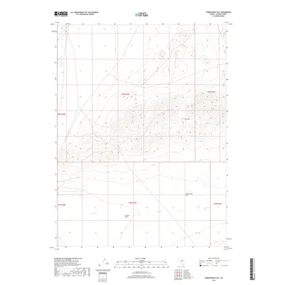
2018 Tumbleweed Flat
Eureka County, NV
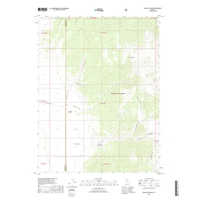
2018 Wallace Canyon
Eureka County, NV
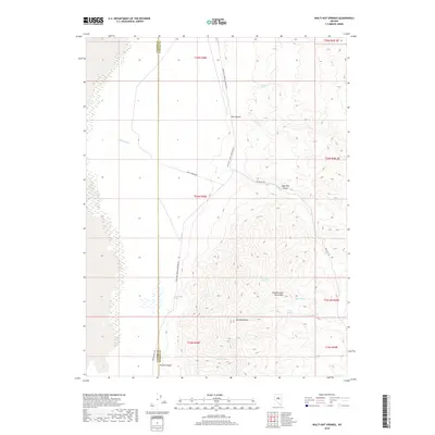
2018 Walti Hot Springs
Eureka County, NV
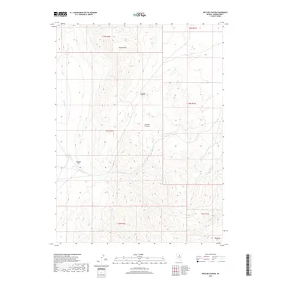
2018 Welches Canyon
Eureka County, NV
2018 Well Canyon
Eureka County, NV
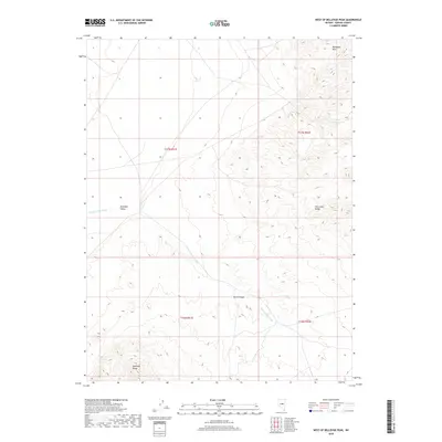
2018 West of Bellevue Peak
Eureka County, NV
2018 West of Christina Peak
Eureka County, NV
2018 West of Coffin Mountain
Eureka County, NV
2018 West of Diamond Springs
Eureka County, NV
2018 West of Railroad Pass
Eureka County, NV
2018 West of Whistler Mountain
Eureka County, NV
2018 Whistler Mountain
Eureka County, NV
2018 White Sage Canyon
Eureka County, NV
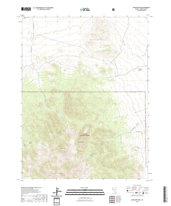
2021 Antelope Peak
Eureka County, NV
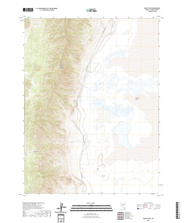
2021 Bailey Pass
Eureka County, NV
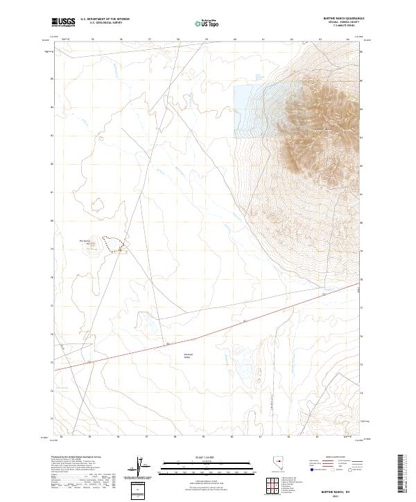
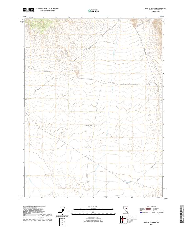
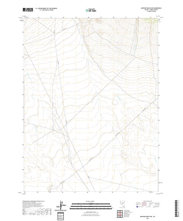
2021 Bartine Ranch
Eureka County, NV
2021 Bartine Ranch NE
Eureka County, NV
2021 Bartine Ranch NW
Eureka County, NV
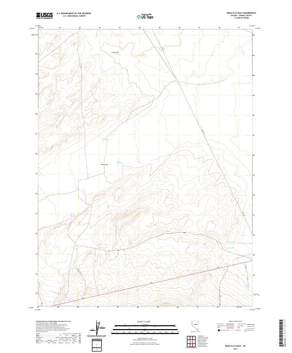
2021 Bean Flat East
Eureka County, NV
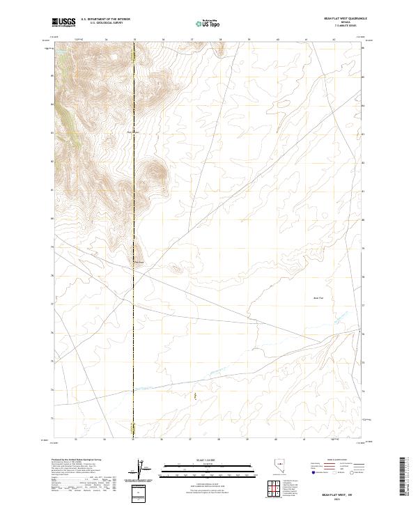
2021 Bean Flat West
Eureka County, NV
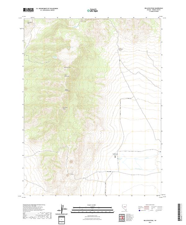
2021 Bellevue Peak
Eureka County, NV
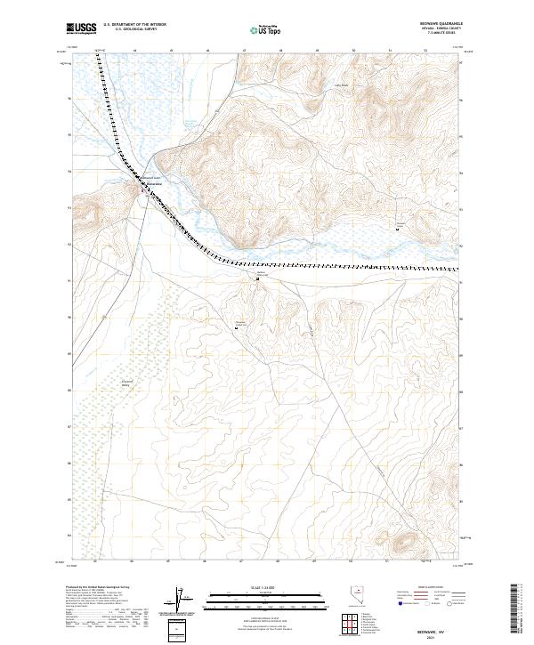
2021 Beowawe
Eureka County, NV
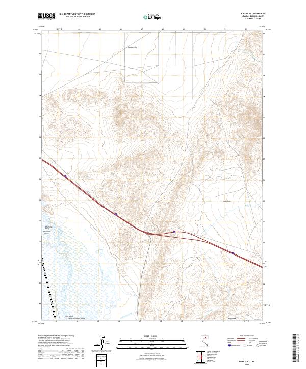
2021 Bobs Flat
Eureka County, NV
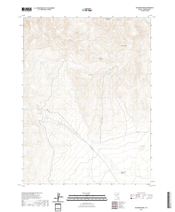
2021 Buckhorn Mine
Eureka County, NV
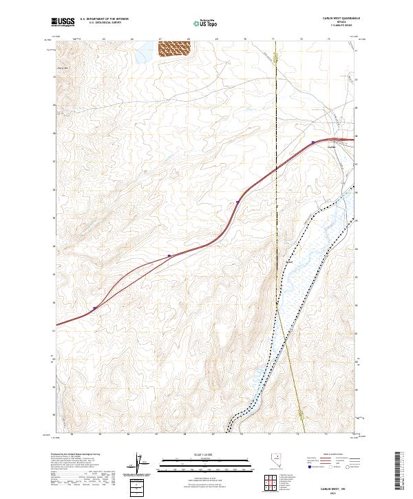
2021 Carlin West
Eureka County, NV
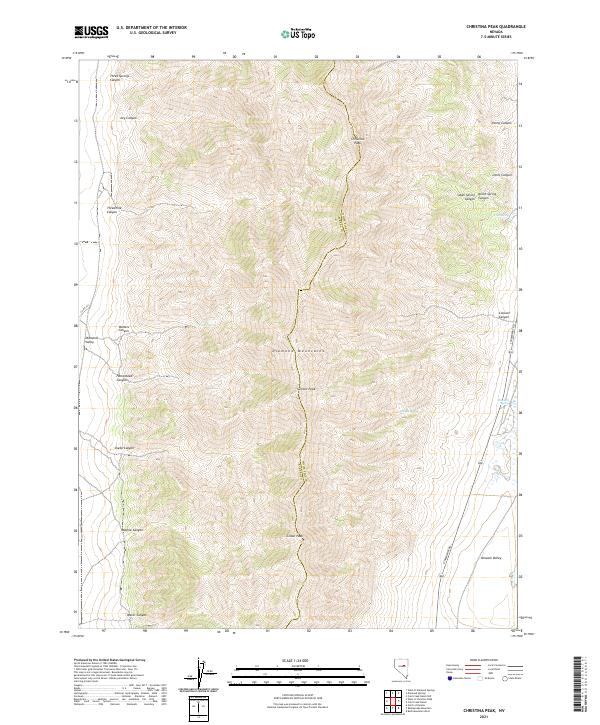
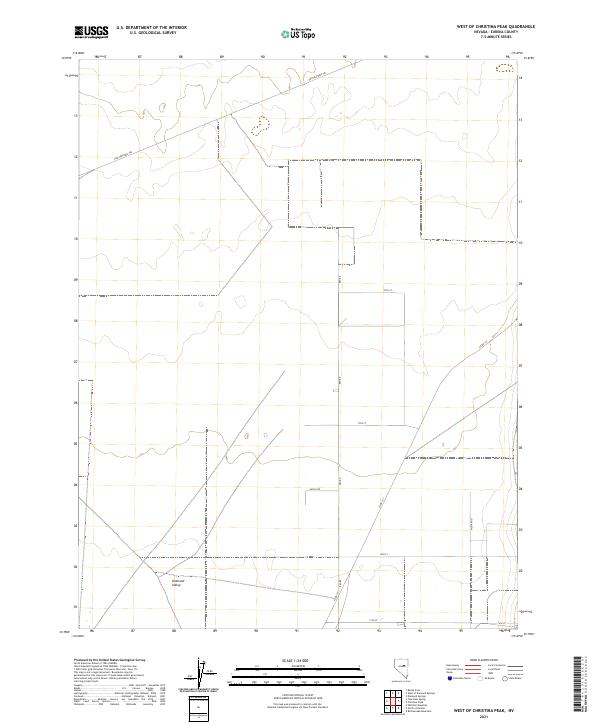
2021 Christina Peak
Eureka County, NV
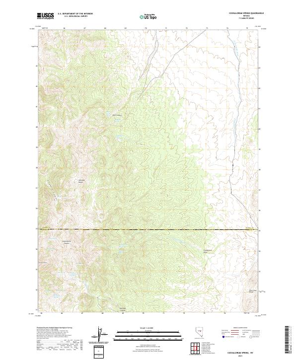
2021 Cockalorum Spring
Eureka County, NV
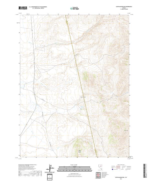
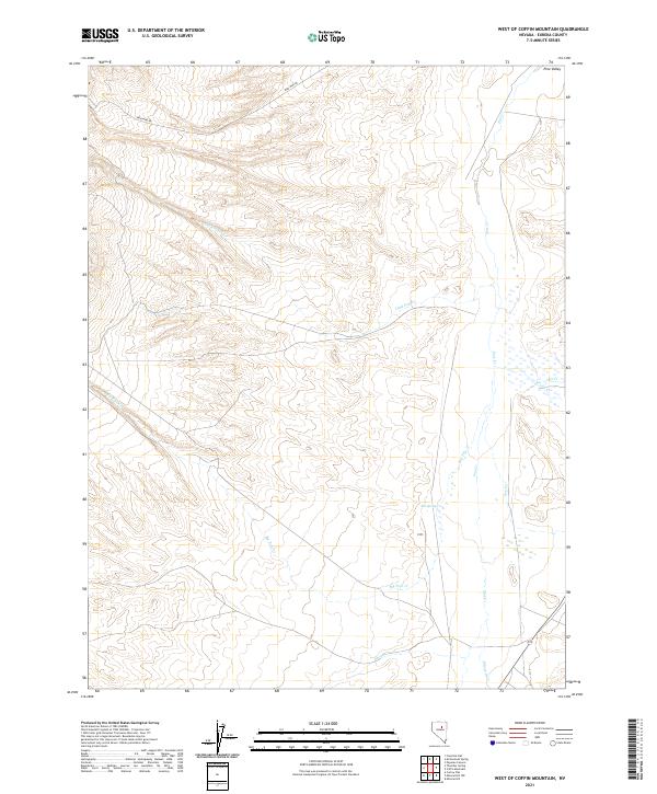
2021 Coffin Mountain
Eureka County, NV
2021 Combs Peak
Eureka County, NV
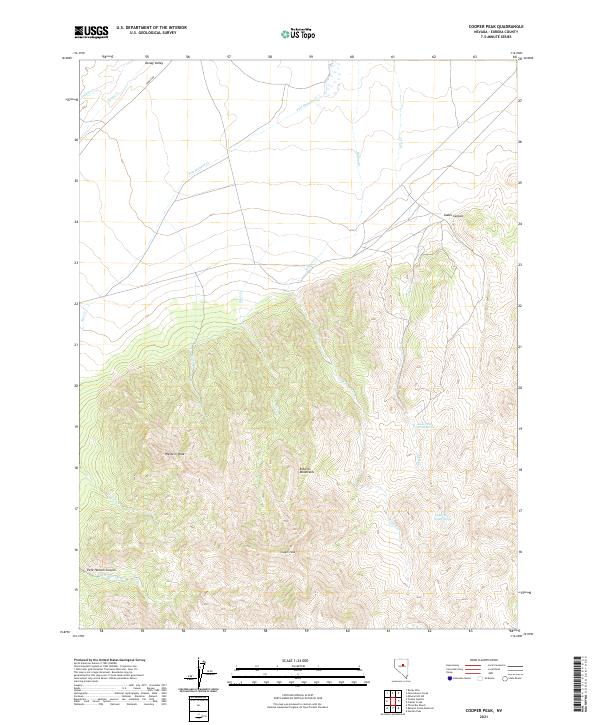
2021 Cooper Peak
Eureka County, NV
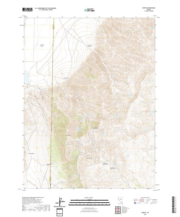
2021 Cortez
Eureka County, NV
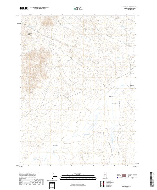
2021 Curlow Flat
Eureka County, NV
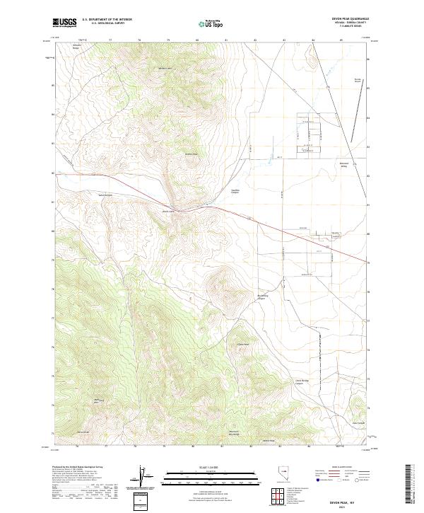
2021 Devon Peak
Eureka County, NV
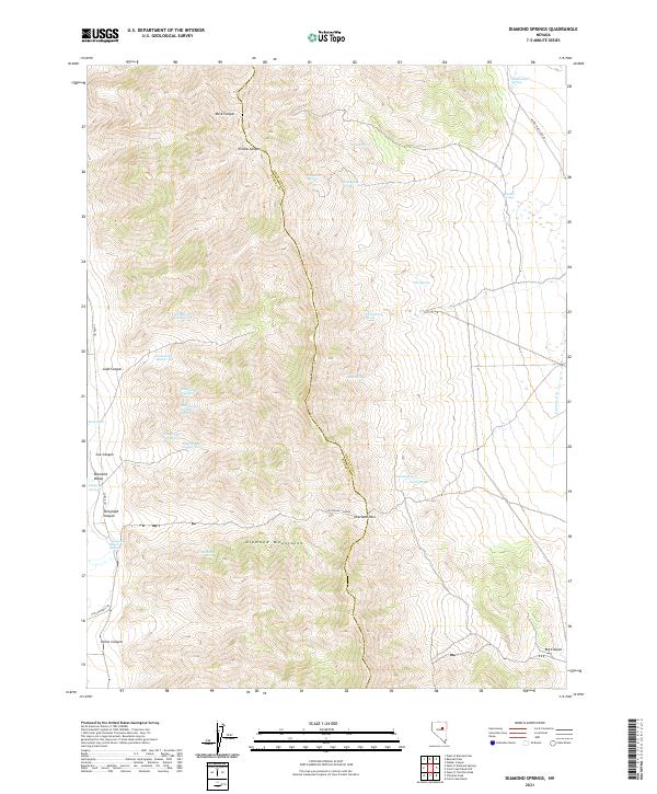
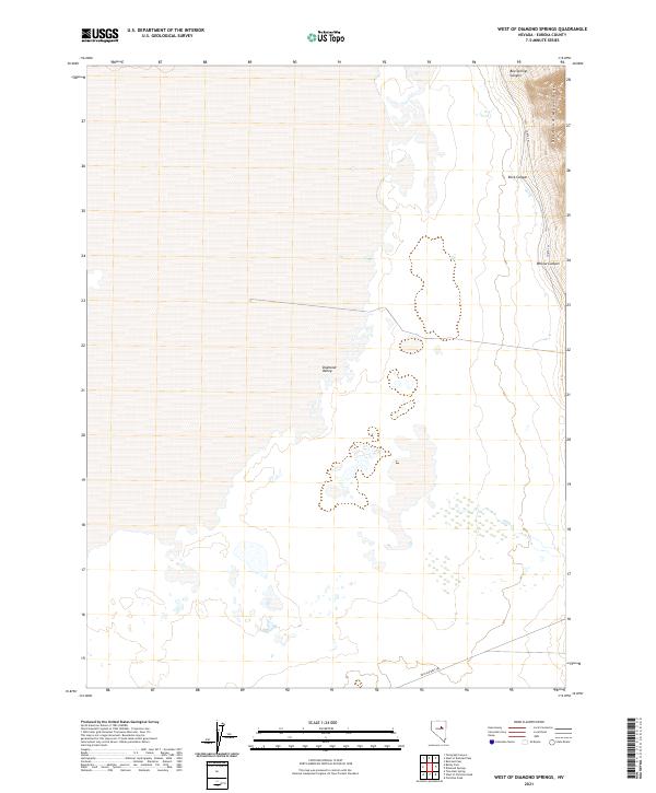
2021 Diamond Springs
Eureka County, NV
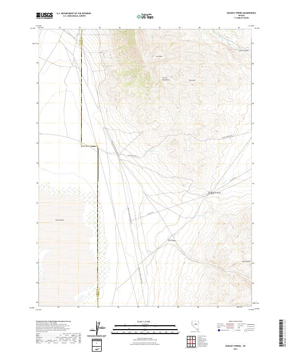
2021 Dugout Spring
Eureka County, NV
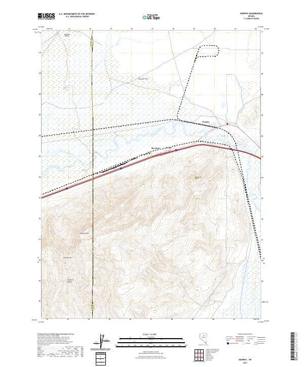
2021 Dunphy
Eureka County, NV
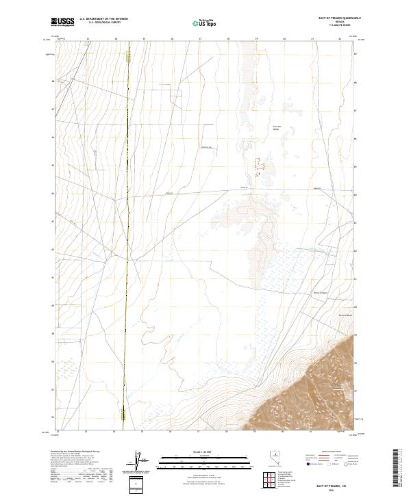
2021 East of Tenabo
Eureka County, NV
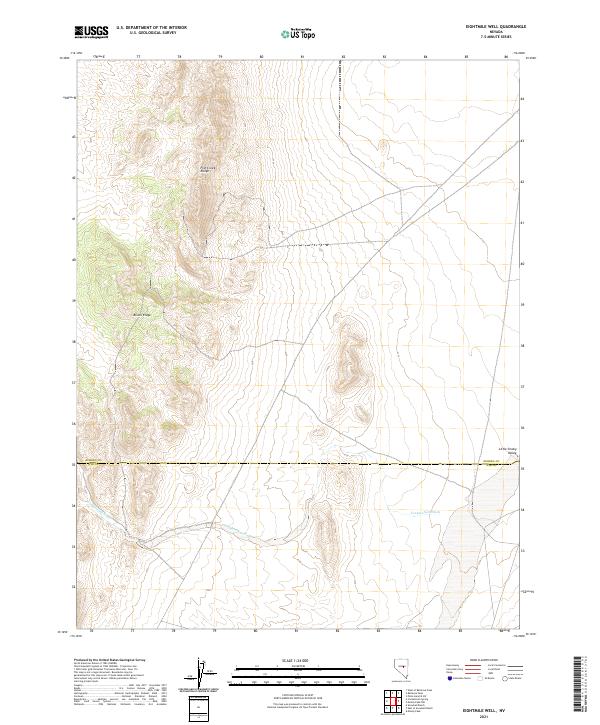
2021 Eightmile Well
Eureka County, NV
2021 Emigrant Pass
Eureka County, NV
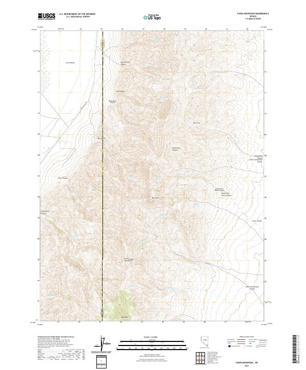
2021 Fagin Mountain
Eureka County, NV
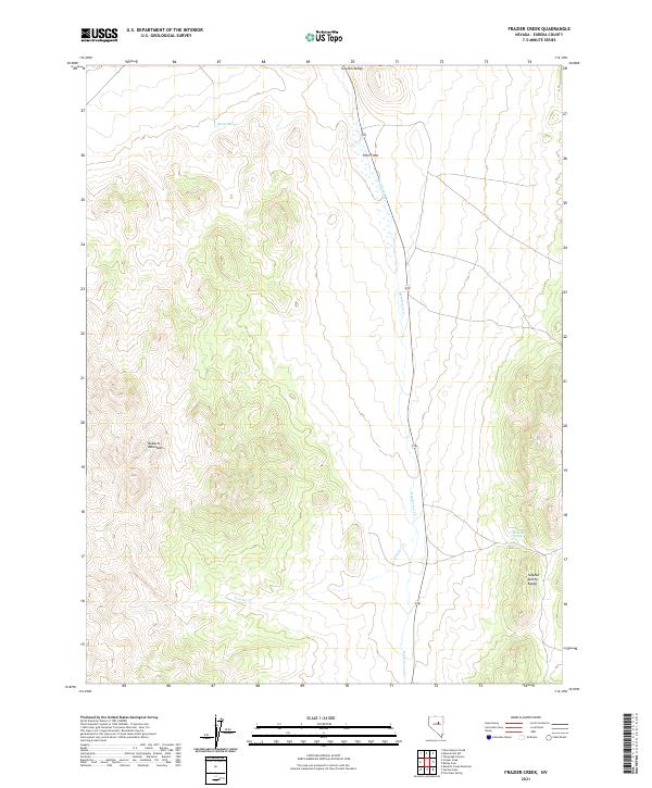
2021 Frazier Creek
Eureka County, NV
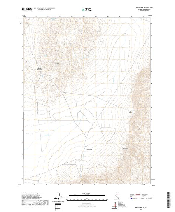
2021 Frenchie Flat
Eureka County, NV
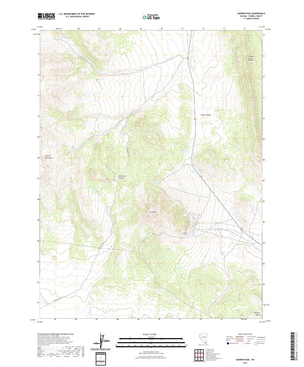
2021 Garden Pass
Eureka County, NV
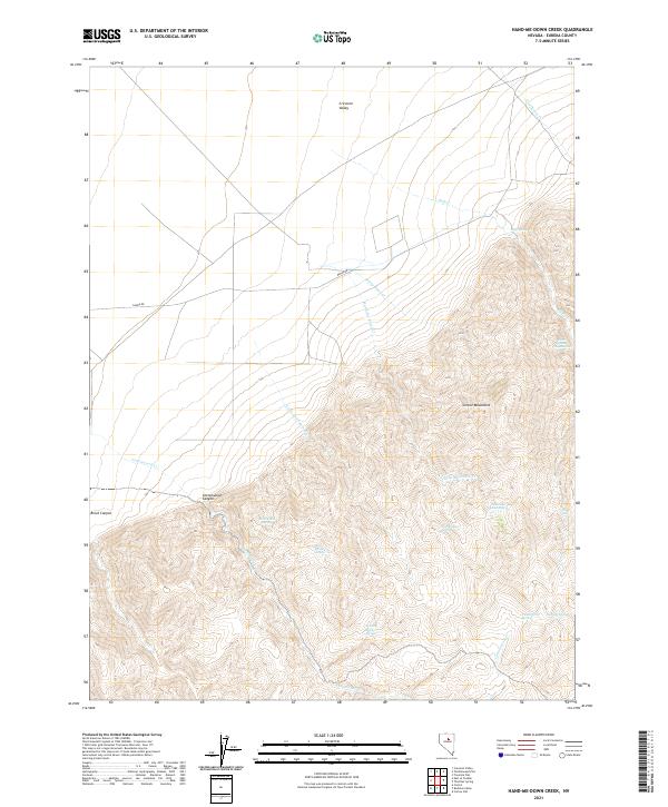
2021 Hand-me-down Creek
Eureka County, NV
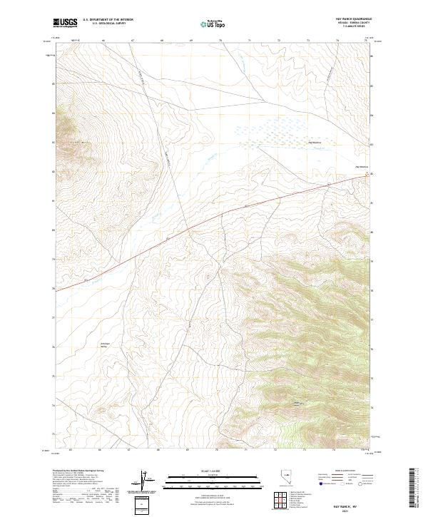
2021 Hay Ranch
Eureka County, NV
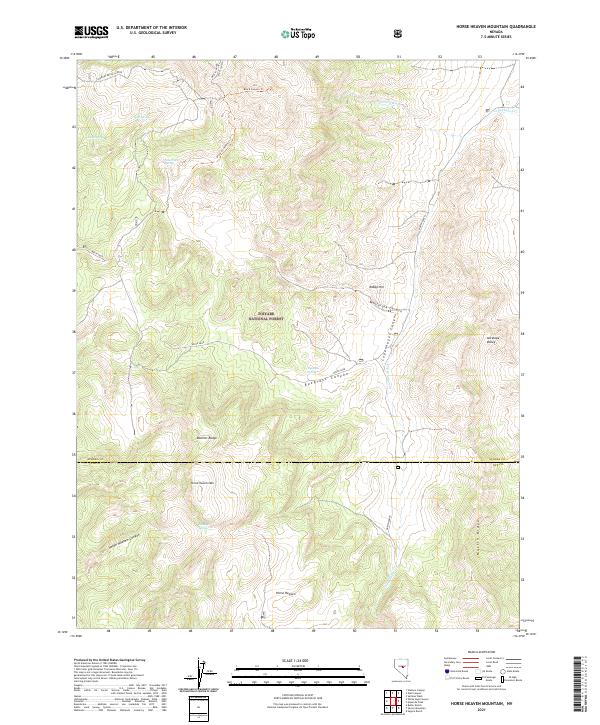
2021 Horse Heaven Mountain
Eureka County, NV
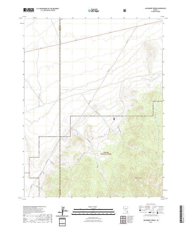
2021 Jackrabbit Spring
Eureka County, NV
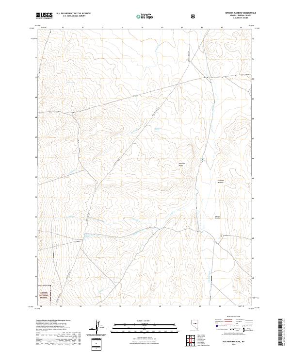
2021 Kitchen Meadow
Eureka County, NV
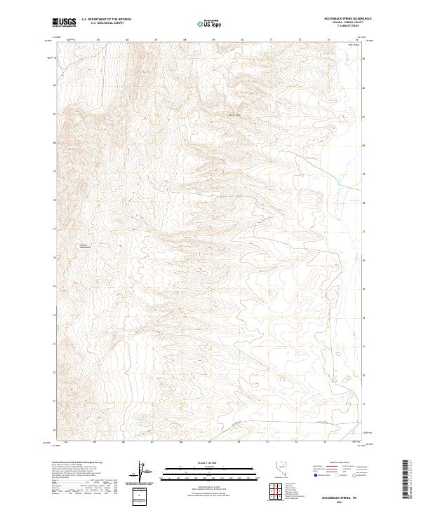
2021 McCormack Spring
Eureka County, NV
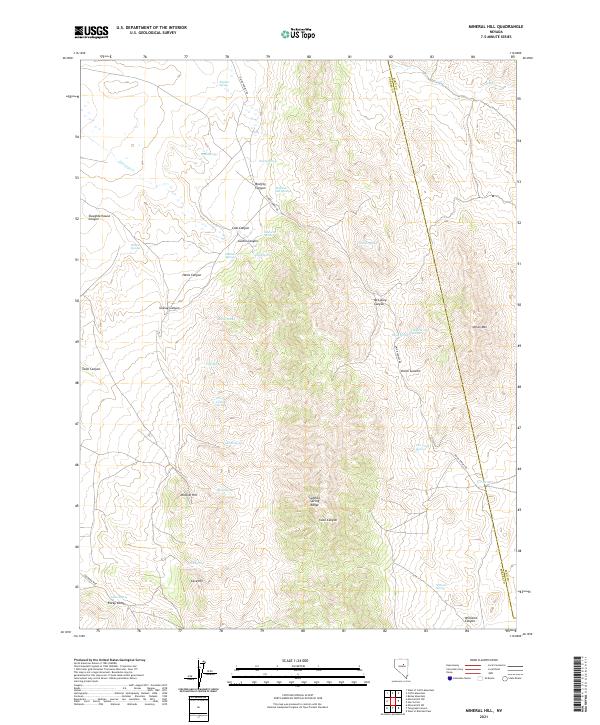
2021 Mineral Hill
Eureka County, NV
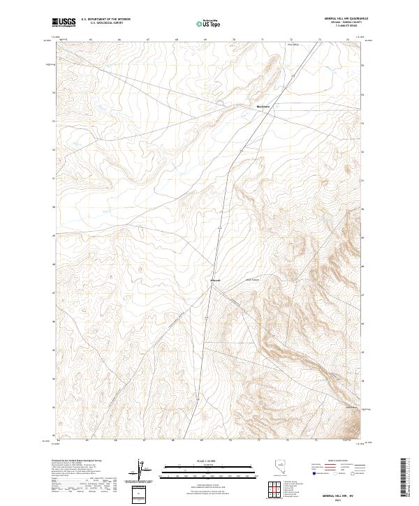
2021 Mineral Hill NW
Eureka County, NV
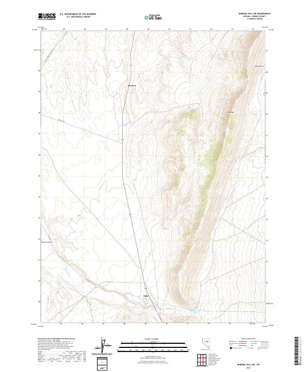
2021 Mineral Hill SW
Eureka County, NV
2021 Moody Peak NW
Eureka County, NV
2021 Ninemile Peak
Eureka County, NV
2021 North of Eureka
Eureka County, NV
2021 Palisade
Eureka County, NV
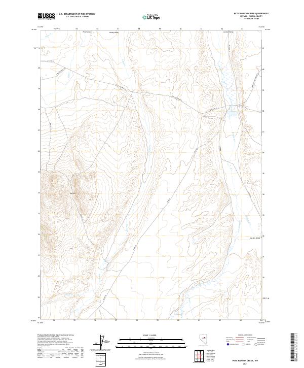
2021 Pete Hanson Creek
Eureka County, NV
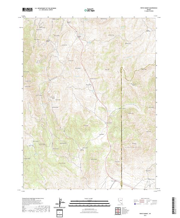
2021 Pinto Summit
Eureka County, NV
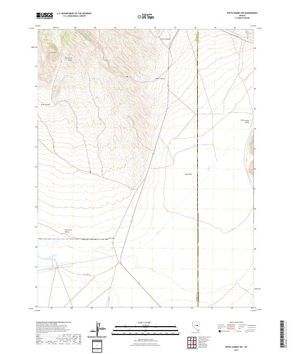
2021 Pinto Summit SW
Eureka County, NV
2021 Roberts Creek Mountain
Eureka County, NV
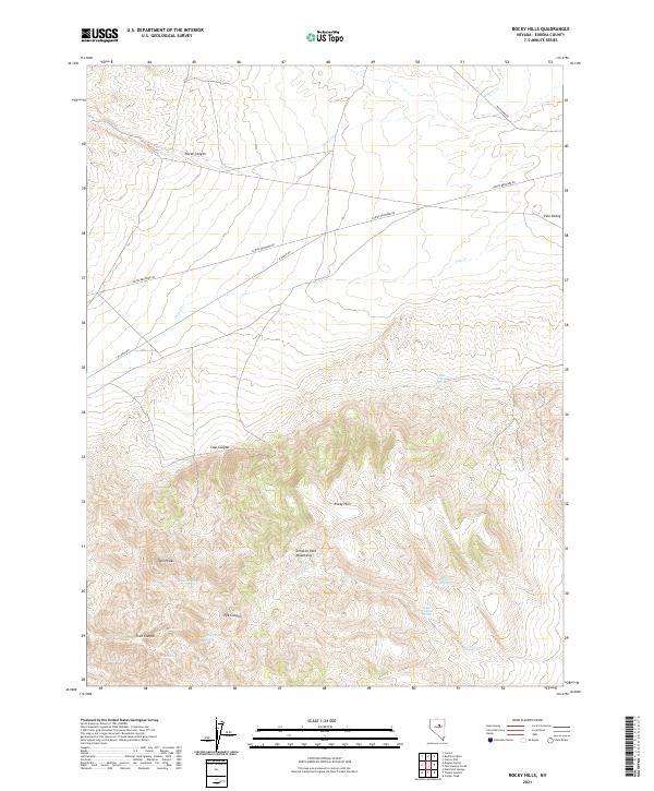
2021 Rocky Hills
Eureka County, NV
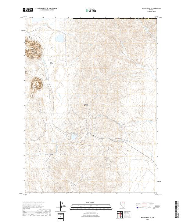
2021 Rodeo Creek NE
Eureka County, NV
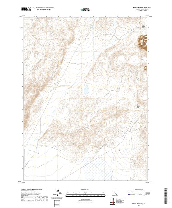
2021 Rodeo Creek NW
Eureka County, NV
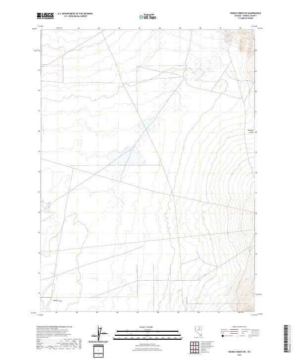
2021 Rodeo Creek SW
Eureka County, NV
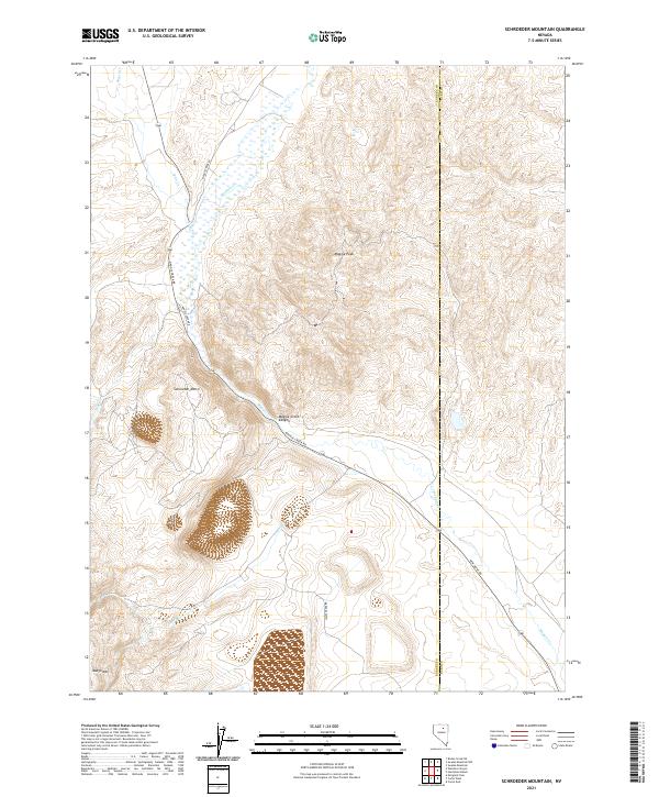
2021 Schroeder Mountain
Eureka County, NV
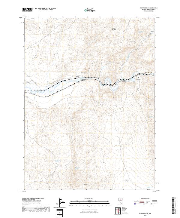
2021 Scotts Gulch
Eureka County, NV
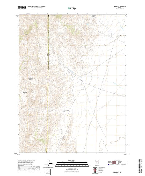
2021 Shagnasty
Eureka County, NV
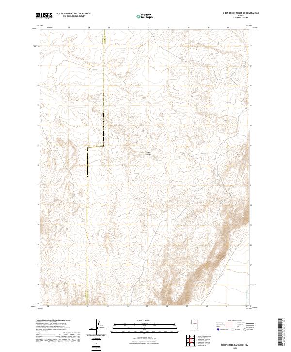
2021 Sheep Creek Range NE
Eureka County, NV
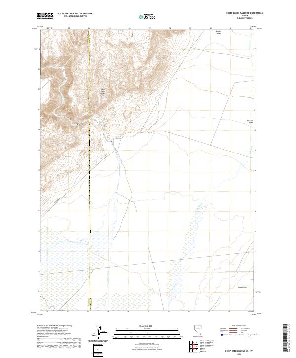
2021 Sheep Creek Range SE
Eureka County, NV
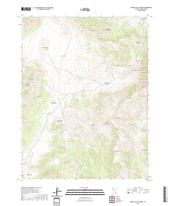
2021 Spring Valley Summit
Eureka County, NV
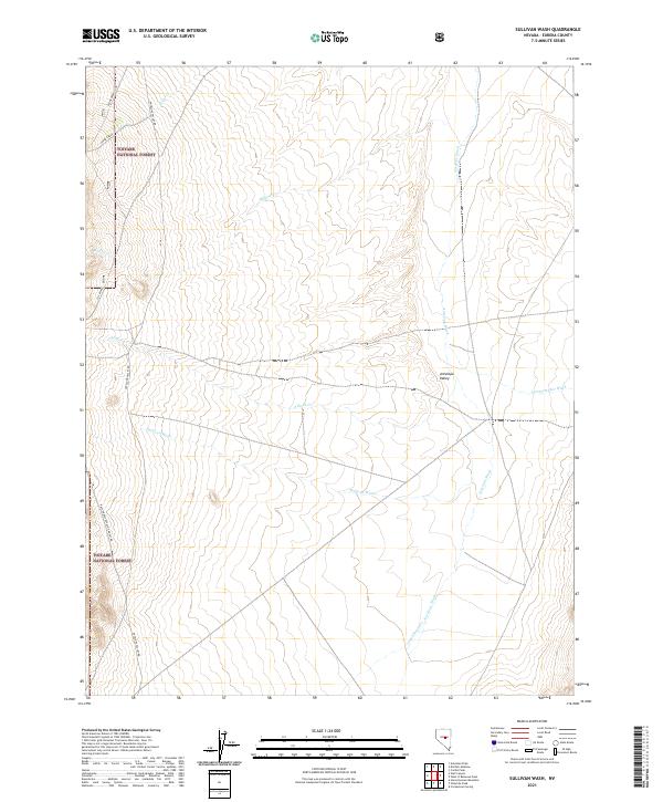
2021 Sullivan Wash
Eureka County, NV
2021 Swales Mountain NW
Eureka County, NV
2021 Telegraph Canyon
Eureka County, NV
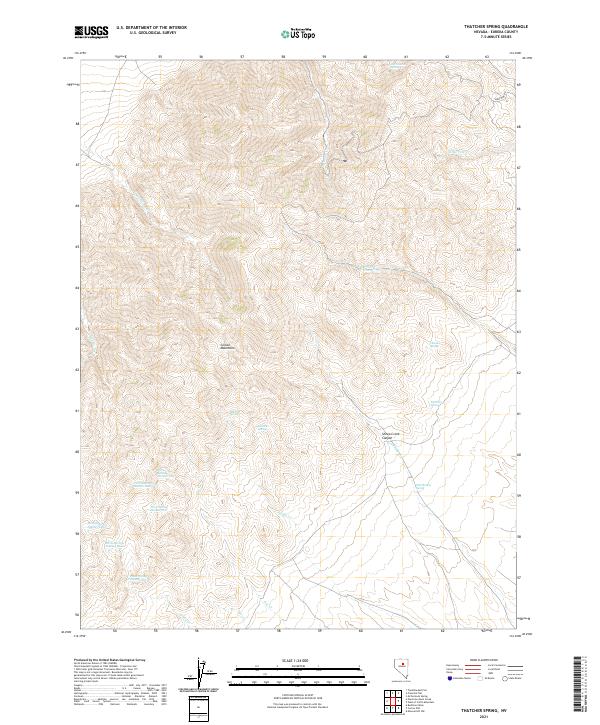
2021 Thatcher Spring
Eureka County, NV
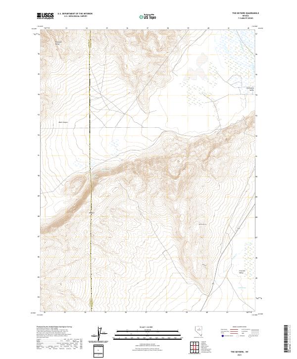
2021 The Geysers
Eureka County, NV
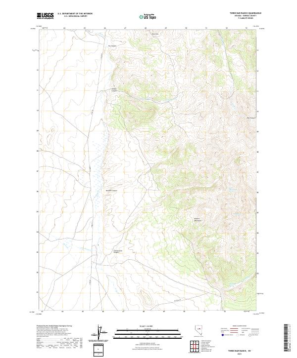
2021 Three Bar Ranch
Eureka County, NV
2021 Tonkin Summit
Eureka County, NV
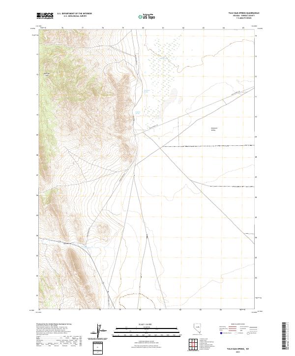
2021 Tule Dam Spring
Eureka County, NV
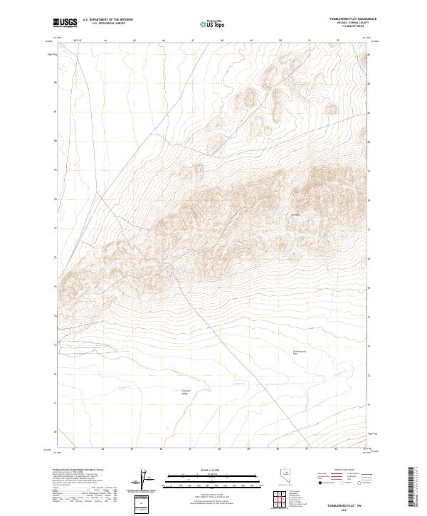
2021 Tumbleweed Flat
Eureka County, NV
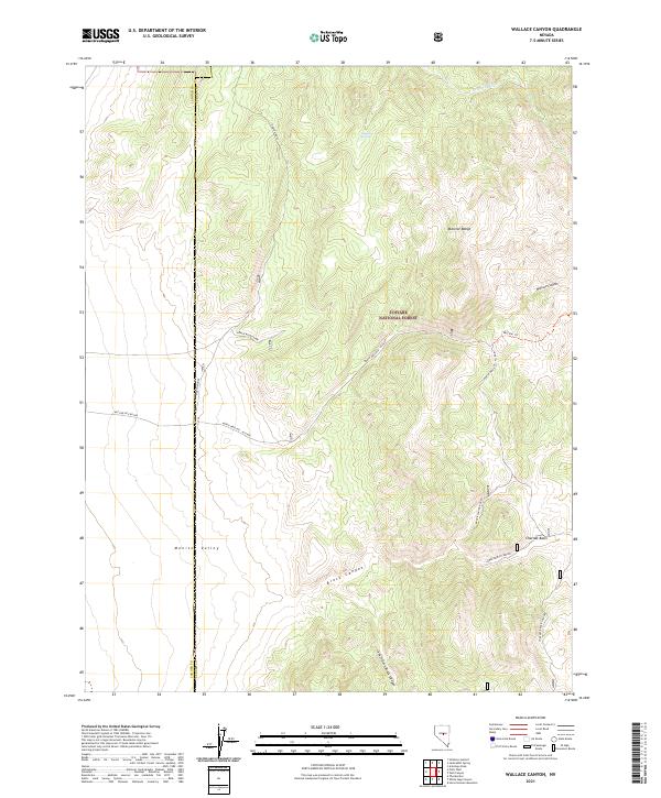
2021 Wallace Canyon
Eureka County, NV
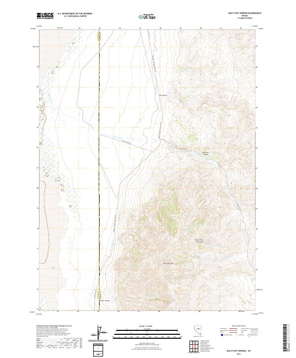
2021 Walti Hot Springs
Eureka County, NV
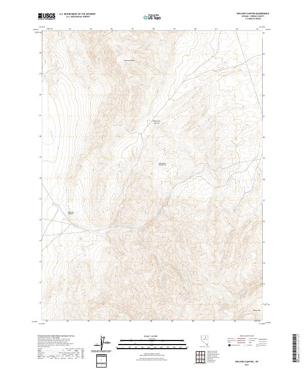
2021 Welches Canyon
Eureka County, NV
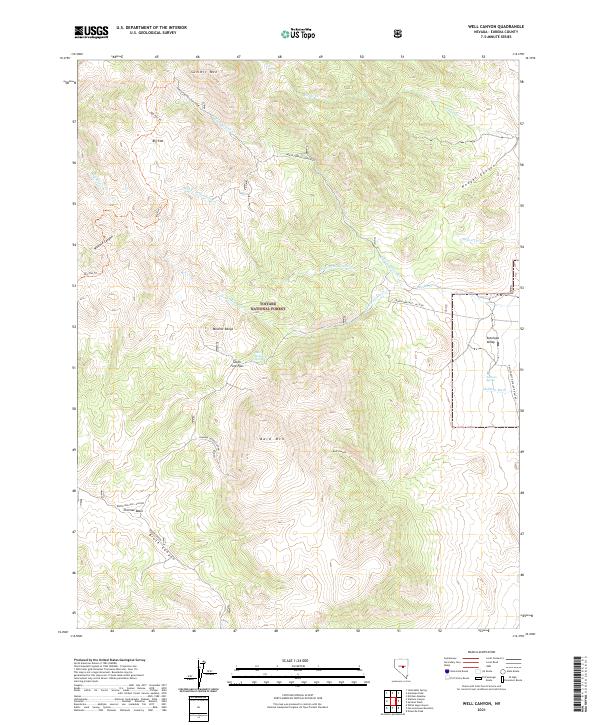
2021 Well Canyon
Eureka County, NV
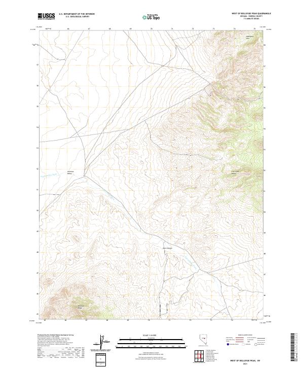
2021 West of Bellevue Peak
Eureka County, NV
2021 West of Christina Peak
Eureka County, NV
2021 West of Coffin Mountain
Eureka County, NV
2021 West of Diamond Springs
Eureka County, NV
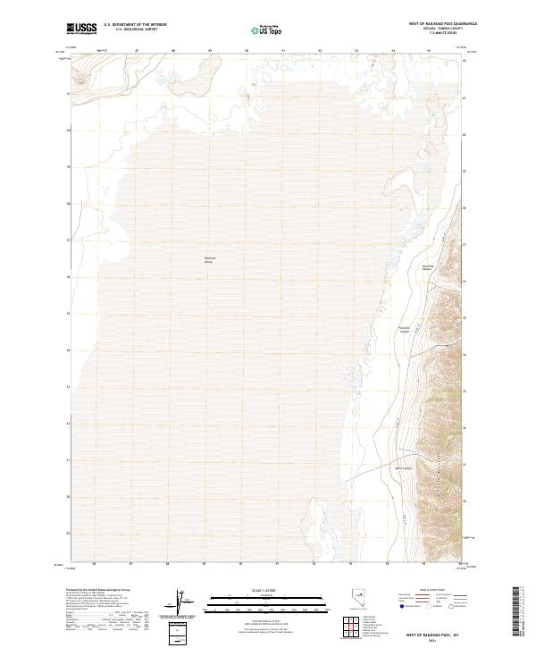
2021 West of Railroad Pass
Eureka County, NV
2021 West of Whistler Mountain
Eureka County, NV
2021 Whistler Mountain
Eureka County, NV
2021 White Sage Canyon
Eureka County, NV