Old Maps of Denio, Nevada for Academic Research
Study the evolution of Denio with 12 high-resolution historic maps. Whether you're teaching, researching, or modeling changes in land use, these maps provide essential visual documentation of urban, environmental, and geographic change.
- Analyze long-term change: Track patterns in development, transportation, and natural features.
- Ideal for environmental or urban studies: Support academic projects with primary historical map data.
- Use in the classroom or lab: Educators and researchers rely on these maps to bring historical context to life.
These maps are a powerful tool for teaching, research, and visualizing how Denio has changed over the decades.
Denio, NV maps
(12)- 1886 Map of Disaster
 1886 Disaster1886 Print · USGSHumboldt County in the late nineteenth century was a rugged frontier of thermal springs and isolated mountain passes. Researchers can trace early routes through Thacker Pass, locate the settlement at Mason's Crossing, and identify watering points like Pahute Meadows.
 - 1893 Map of Disaster
 1893 Disaster1893 Print · USGSHumboldt County's high desert reaches were a land of isolated crossings and thermal springs in the late nineteenth century. Researchers can trace the path through Thacker Pass and locate early sites like Mason's Crossing or Pahute Meadows.5 unique versions available
 - 1954 Map of Vya, 1967 Print
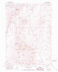
 1954 Vya1967 Print · USGSThe tri-state corner of Nevada, Oregon, and California appears here in the mid-fifties, dominated by wildlife refuges and massive naval gunnery ranges. Trace isolated high-desert outposts like Vya and Soldier Meadow Ranch or find historic workings at the Ashdown Mine.3 unique versions available
 - 1958 Map of Vya
 1958 Vya1958 Print · USGSNorthwest Nevada and the tri-state border region are mapped here during the mid-fifties, showing a remote landscape of high desert ranches and sprawling antelope range. Trace historic operations like the Ashdown Mine, find local camps like Coyote Camp, and locate isolated outposts from Vya to Denio.2 unique versions available
 - 1962 Map of Vya
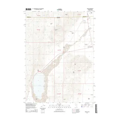
 1962 Vya1962 Print · USGSThe Nevada and Oregon borderlands in the early sixties reveal a landscape of isolated ranching outposts and high-desert mining. Researchers can trace historic family holdings like the Denio Ranch or locate early mineral sites including the Mcadoo Mine and Iron King Mine.
 - 1966 Map of Denio, 1968 Print
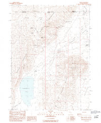
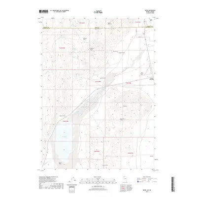
 1966 Denio1968 Print · USGSThe high desert borderlands near Denio are captured here in the late sixties, where the Pueblo Mountains meet the Oregon Nevada state line. Researchers can trace early ranching and transport history through sites like the Bramlett Stage Sta and the Howard Cem.2 unique versions available
 - 1979 Map of Denio
 1979 Denio1979 Print · USGSThe Nevada-Oregon borderlands in the late seventies are characterized by isolated mining camps and expansive wildlife refuges. Researchers can trace remote mineral sites like the Ashdown Mine and Moonlight Mine or locate desert water sources such as Bog Hot Spring.4 unique versions available
 - 1990 Map of Denio
 1990 Denio1990 Print · USGSThe Nevada-Oregon borderlands are mapped here in the early 1990s, capturing a remote high-desert crossroads. Researchers can locate the isolated settlements of Denio and Denio Junction, alongside historical mining sites like Cowden Mine and natural features like Baltazor Hot Spring.
 - 2011 Map of Denio, 2011 Print
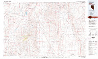
 2011 Denio2011 Print · USGSCovers Denio, including Humboldt County, Harney County, and other nearby areas
 - 2015 Map of Denio, 2015 Print
 2015 Denio2015 Print · USGSCovers Denio, including Humboldt County, Harney County, and other nearby areas
 - 2018 Map of Denio, 2018 Print
 2018 Denio2018 Print · USGSCovers Denio, including Humboldt County, Harney County, and other nearby areas
 - 2021 Map of Denio, 2021 Print
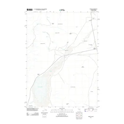
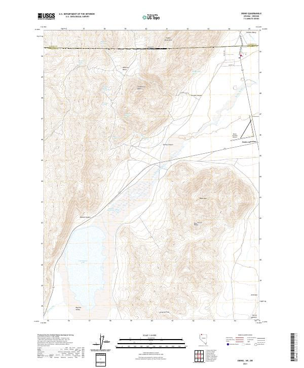 2021 Denio2021 Print · USGSThe Nevada-Oregon borderlands are revealed in this modern survey of the high desert and geothermal basins. Researchers can trace remote hydrology and infrastructure through Baltazor Hot Spring, Continental Lake, and the Denio Junction Airport.
End of results
Showing maps 1-12 of 12
Frequently asked questions
- What are the different types of historical maps available for Denio?
- What is the oldest map of Denio?
- Where can I purchase historical maps of Denio for my home or office?
- Where can I download high-res historical maps of Denio?
- Are there historical topographic maps available for Denio?
- Is there historical aerial imagery available for Denio?
- Where are historical maps of Denio sourced from?