Old Maps of Orovada, Nevada for Genealogy
Trace your family roots with 11 historic maps of Orovada. These high-res maps reveal old neighborhoods, homesites, landmarks, and streets — helping you uncover where your ancestors lived and how the area evolved over time.
- Explore historic neighborhoods: Identify where your relatives may have lived in the 1800s or 1900s.
- Compare maps over time: Trace the changes in streets, buildings, and landmarks for multi-generational research.
- Perfect for genealogy & ancestry research: Used by family historians and researchers to map out lineage and migration.
These maps are an incredible resource for exploring your personal connection to Orovada's past.
Orovada, NV maps
(11)- 1882 Map of Paradise
 1882 Paradise1882 Print · USGSHumboldt County in the early 1880s remains a frontier landscape of isolated stage stations and high mountain peaks. Genealogists and researchers can trace the early transit network between Paradise City and remote stops like Cane Springs Station and Flynn Station.
 - 1893 Map of Paradise
 1893 Paradise1893 Print · USGSHumboldt County was a landscape of remote outposts and high-desert ranges in the late nineteenth century. Researchers can trace the early stage and freight routes connecting Paradise City to vital waystations such as Cane Springs Station and Willow Point Station.6 unique versions available
 - 1955 Map of McDermitt
 1955 McDermitt1955 Print · USGSNorthern Nevada in the mid-fifties shows a landscape of mining camps and vast cattle ranges. Trace the early footprints of Tuscarora or the remote Cordero Mine and National Mine tucked into the high desert peaks.3 unique versions available
 - 1959 Map of McDermitt
 1959 McDermitt1959 Print · USGSThe high-desert borderlands of northern Nevada and southern Oregon are captured here in the late fifties. Researchers can trace historic mining operations at the Cordero Mine and Getchell Mine, or locate settlements like Paradise Valley and Tuscarora.2 unique versions available
 - 1959 Map of Orovada, 1961 Print
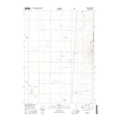
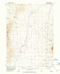 1959 Orovada1961 Print · USGSHigh desert ranching life in the late fifties centered on the small hub of Orovada and the vital waters of the Quinn River. Genealogists and historians can trace the foundations of local agriculture through named homesteads like Rebel Creek Ranch and Buffalo Ranch.2 unique versions available
 - 1985 Map of Quinn River Valley
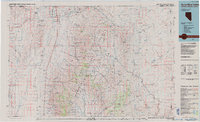 1985 Quinn River Valley1985 Print · USGSThe high desert along the Nevada and Oregon border in the mid-1980s reveals a land of remote ranching hubs and mountain mining. Genealogists and historians can trace the legacy of the Fort Mc Dermitt Indian Reservation or locate isolated sites like the Solid Silver Mine and Rebel.
 - 1991 Map of Orovada
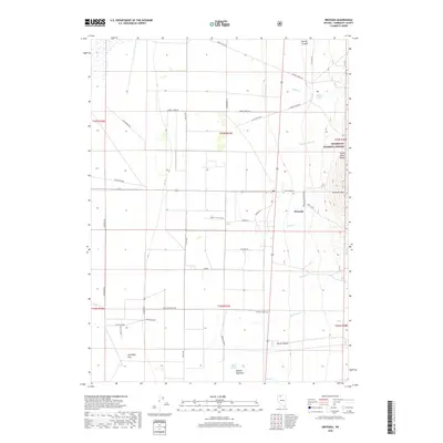
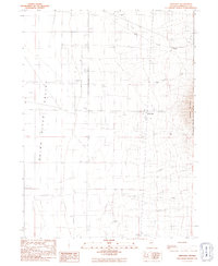 1991 Orovada1991 Print · USGSRanching and water management define this northern Nevada valley as it appeared in the early nineties. Researchers can trace the layout of Orovada or locate historic family outposts like Rebel Creek Ranch and Buffalo Ranch.
 - 2011 Map of Orovada, 2011 Print
 2011 Orovada2011 Print · USGSCovers Orovada, including Rebel Creek, Humboldt County, and other nearby areas
 - 2015 Map of Orovada, 2015 Print
 2015 Orovada2015 Print · USGSCovers Orovada, including Rebel Creek, Humboldt County, and other nearby areas
 - 2018 Map of Orovada, 2018 Print
 2018 Orovada2018 Print · USGSCovers Orovada, including Rebel Creek, Humboldt County, and other nearby areas
 - 2021 Map of Orovada, 2021 Print
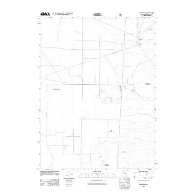
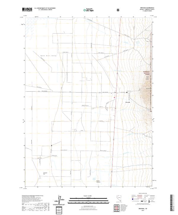 2021 Orovada2021 Print · USGSOrovada and the Quinn River Valley appear in this contemporary survey as a landscape of remote ranches and high-desert peaks. Genealogists and local historians can locate the Orovada Cem or trace rural landmarks like Buffalo Ranch and the Santa Rosa Range.
End of results
Showing maps 1-11 of 11
Frequently asked questions
- What are the different types of historical maps available for Orovada?
- What is the oldest map of Orovada?
- Where can I purchase historical maps of Orovada for my home or office?
- Where can I download high-res historical maps of Orovada?
- Are there historical topographic maps available for Orovada?
- Is there historical aerial imagery available for Orovada?
- Where are historical maps of Orovada sourced from?