Old Maps of Mud Springs, Nevada for Hiking & Exploration
Hike through history with 8 historic maps of Mud Springs. Explore old trails, ghost towns, and forgotten backroads — perfect for outdoor adventurers and local explorers.
- Rediscover forgotten places: Map out old mining camps, roads, and footpaths that no longer exist on modern maps.
- Layer with modern tools: Combine with LiDAR or satellite views to plan hikes through historical terrain.
- Made for exploration: Popular among hikers, overlanders, and local history lovers.
Use these maps to find adventure and explore the hidden past of Mud Springs.
Mud Springs, NV maps
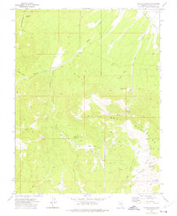
(8)- 1956 Map of Lund, 1963 Print
 1956 Lund1963 Print · USGSEastern Nevada and the Utah borderlands are mapped here during the mid-fifties, showing a landscape of high-desert ranches and mountain mining camps. Genealogists and historians can trace family locations through sites like Bristol Silver Mines, Lund, and the Sunnyside Whipple Ranch.2 unique versions available
 - 1960 Map of Lund
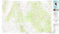
 1960 Lund1960 Print · USGSEastern Nevada and the Utah borderlands are mapped here during the mid-twentieth century, showing a landscape of high peaks and isolated ranching outposts. Researchers can locate remote mining sites like the Tungsten Queen Mine and early settlements including Lund and Shoshone.
 - 1972 Map of Miller Canyon, 1975 Print
 1972 Miller Canyon1975 Print · USGSHigh desert ranching and water sources define this Lincoln County landscape in the early seventies. Trace remote outposts like Johnson Ranch and Deimje Ranch and follow the paths of Cobb Creek and Seven Troughs Wash through the mountains.
 - 1982 Map of Wilson Creek Range
 1982 Wilson Creek Range1982 Print · USGSLincoln County mining districts and high-desert basins are captured here in the early eighties as the region balanced mineral production with early conservation. Researchers can trace historic industrial sites like the Atlanta Mine and Bristol Silver Mine or locate remote landmarks such as The Hermitage.
 - 2012 Map of Miller Canyon, 2012 Print
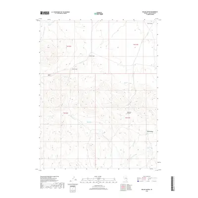
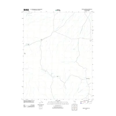 2012 Miller Canyon2012 Print · USGSCovers Mud Springs, including Lincoln County, United States, and other nearby areas
 - 2014 Map of Miller Canyon, 2014 Print
 2014 Miller Canyon2014 Print · USGSCovers Mud Springs, including Lincoln County, United States, and other nearby areas
 - 2018 Map of Miller Canyon, 2018 Print
 2018 Miller Canyon2018 Print · USGSCovers Mud Springs, including Lincoln County, United States, and other nearby areas
 - 2021 Map of Miller Canyon, 2021 Print
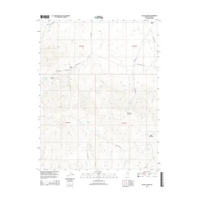
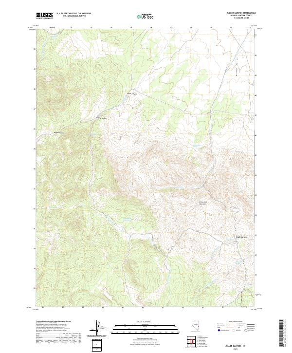 2021 Miller Canyon2021 Print · USGSLincoln County's high desert is captured in this modern survey, highlighting the critical water sources of the Great Basin. Researchers can locate vital springs and topographic landmarks like Mud Springs, Seven Troughs Spring, and the White Rock Mountains.
End of results
Showing maps 1-8 of 8
Frequently asked questions
- What are the different types of historical maps available for Mud Springs?
- What is the oldest map of Mud Springs?
- Where can I purchase historical maps of Mud Springs for my home or office?
- Where can I download high-res historical maps of Mud Springs?
- Are there historical topographic maps available for Mud Springs?
- Is there historical aerial imagery available for Mud Springs?
- Where are historical maps of Mud Springs sourced from?