Old Maps of Eberhardt, Nevada for Metal Detecting
Plan your next treasure hunt with 11 historic maps of Eberhardt. Find old homesites, ghost towns, trails, and gathering spots that may be lost to time — perfect for identifying promising metal detecting locations.
- Locate forgotten sites: Uncover places like long-lost settlements, abandoned rail lines, or gathering spots.
- Plan better hunts: Use map overlays combined with LiDAR or satellite views to narrow in on historically rich areas.
- Made for detectorists: Thousands of hobbyists use these maps to discover relics, coins, and hidden history.
Use these historic maps to boost your research and find new opportunities beneath the surface of Eberhardt.
Eberhardt, NV maps
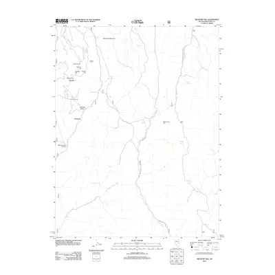
(11)- 1949 Map of Treasure Hill, 1960 Print
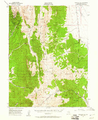 1949 Treasure Hill1960 Print · USGSMining operations and remote desert outposts define the White Pine landscape in the late 1940s. Genealogists and historians can trace the legacy of the silver boom through sites like Eberhardt, the Hidden Treasure Mine, and Ellison Ranger Station.2 unique versions available
 - 1950 Map of Treasure Hill
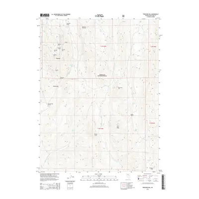
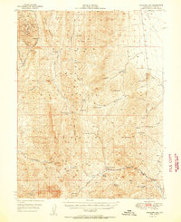 1950 Treasure Hill1950 Print · USGSThe White Pine mining district is captured here at mid-century, revealing the legacy of Nevada's silver boom. Genealogists and historians can trace the foundations of Eberhardt (Site), the Treasure Cem, and various tunnels like the Icehouse Tunnel.2 unique versions available
 - 1956 Map of Ely, 1968 Print
 1956 Ely1968 Print · USGSEastern Nevada in the mid-fifties is a land of massive mountain ranges and silver-boom history. Trace the legacy of mining ruins at Hamilton and Treasure City or follow the path of the Nevada Northern RR through Ely.5 unique versions available
 - 1959 Map of Ely
 1959 Ely1959 Print · USGSEastern Nevada's high desert reveals its mining heart and pioneer ranching outposts during the late fifties. Genealogists and historians can trace family-named outposts like Goicoechea Ranch or explore the ruins of former silver-mining hubs like Hamilton and Treasure City.2 unique versions available
 - 1963 Map of Ely
 1963 Ely1963 Print · USGSEastern Nevada's high basins and mountain ranges are captured here in the early sixties, showing a landscape defined by mining and ranching. Trace family roots at the Thompson Ranch or follow the Nevada Northern Railroad through Steptoe Valley.
 - 1979 Map of Mt. Hamilton
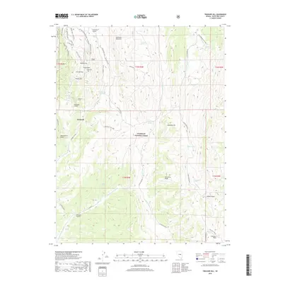
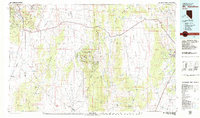 1979 Mt. Hamilton1979 Print · USGSWhite Pine County's high-desert mining and ranching corridors are captured in the late 1970s, from the basins of Newark Valley to the Egan Range. Researchers can trace the legacies of the silver boom at Hamilton and locate operations like the Treasure Hill Mine or the Belmont Mill.2 unique versions available
 - 1990 Map of Treasure Hill
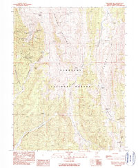 1990 Treasure Hill1990 Print · USGSSilver mining history in the White Pine Range is captured here at the end of the twentieth century. Genealogists and historians can locate former townsites like Treasure City and Shermantown alongside the Aurora Mine and local cemeteries.
 - 2012 Map of Treasure Hill, 2012 Print
 2012 Treasure Hill2012 Print · USGSCovers Eberhardt, including Pogonip, White Pine County, and other nearby areas
 - 2014 Map of Treasure Hill, 2014 Print
 2014 Treasure Hill2014 Print · USGSCovers Eberhardt, including Pogonip, White Pine County, and other nearby areas
 - 2018 Map of Treasure Hill, 2018 Print
 2018 Treasure Hill2018 Print · USGSCovers Eberhardt, including Pogonip, White Pine County, and other nearby areas
 - 2021 Map of Treasure Hill, 2021 Print
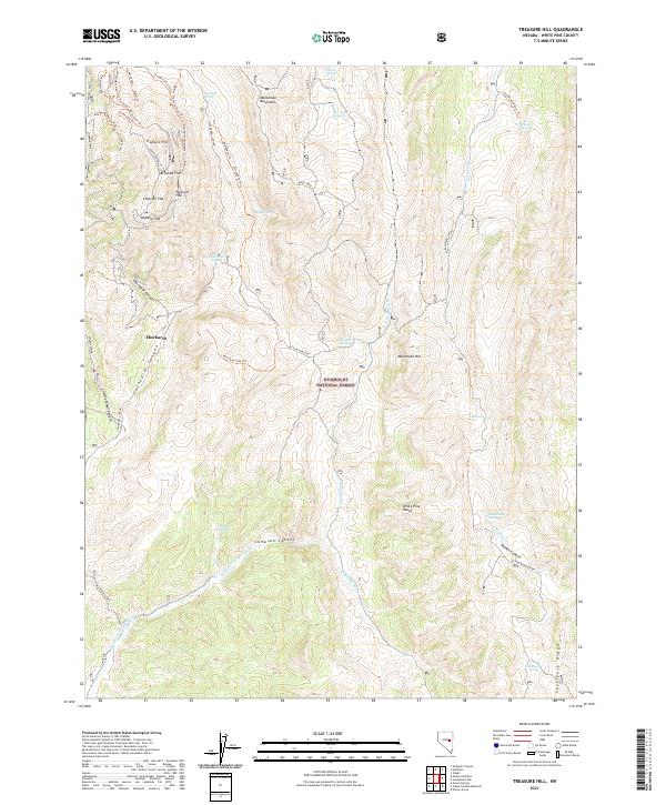 2021 Treasure Hill2021 Print · USGSThe White Pine Range is captured in this recent survey, showcasing the legacy of silver-era mining and settlement. Researchers can trace historic routes to the South Cem and identify the foundations of Eberhardt near the Siegel Mine.
End of results
Showing maps 1-11 of 11
Frequently asked questions
- What are the different types of historical maps available for Eberhardt?
- What is the oldest map of Eberhardt?
- Where can I purchase historical maps of Eberhardt for my home or office?
- Where can I download high-res historical maps of Eberhardt?
- Are there historical topographic maps available for Eberhardt?
- Is there historical aerial imagery available for Eberhardt?
- Where are historical maps of Eberhardt sourced from?