Old Maps of Osceola, Nevada for Academic Research
Study the evolution of Osceola with 10 high-resolution historic maps. Whether you're teaching, researching, or modeling changes in land use, these maps provide essential visual documentation of urban, environmental, and geographic change.
- Analyze long-term change: Track patterns in development, transportation, and natural features.
- Ideal for environmental or urban studies: Support academic projects with primary historical map data.
- Use in the classroom or lab: Educators and researchers rely on these maps to bring historical context to life.
These maps are a powerful tool for teaching, research, and visualizing how Osceola has changed over the decades.
Osceola, NV maps
(10)- 1956 Map of Ely, 1968 Print
 1956 Ely1968 Print · USGSEastern Nevada in the mid-fifties is a land of massive mountain ranges and silver-boom history. Trace the legacy of mining ruins at Hamilton and Treasure City or follow the path of the Nevada Northern RR through Ely.5 unique versions available
 - 1959 Map of Ely
 1959 Ely1959 Print · USGSEastern Nevada's high desert reveals its mining heart and pioneer ranching outposts during the late fifties. Genealogists and historians can trace family-named outposts like Goicoechea Ranch or explore the ruins of former silver-mining hubs like Hamilton and Treasure City.2 unique versions available
 - 1959 Map of Sacramento Pass, 1961 Print
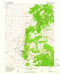 1959 Sacramento Pass1961 Print · USGSWhite Pine County's mining and ranching heritage is caught in mid-century detail as the high peaks of the Snake Range meet the flatlands of Spring Valley. Trace the locations of historic camps at Osceola and Black Horse or locate the Crystal Queen Mine.3 unique versions available
 - 1963 Map of Ely
 1963 Ely1963 Print · USGSEastern Nevada's high basins and mountain ranges are captured here in the early sixties, showing a landscape defined by mining and ranching. Trace family roots at the Thompson Ranch or follow the Nevada Northern Railroad through Steptoe Valley.
 - 1987 Map of Ely
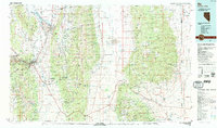 1987 Ely1987 Print · USGSWhite Pine County's high-desert mining and rail landscape is shown here in the late eighties. Researchers can trace the massive Ruth Pit copper mines, the Nevada Northern RR, and early settlements like Osceola and Lane City.2 unique versions available
 - 1987 Map of Hogum
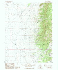 1987 Hogum1987 Print · USGSIn the Snake Range of White Pine County during the 1980s, this area shows a landscape defined by mining activity and National Forest terrain. Researchers can find numerous mine sites like the Crystal Queen Mine and the small settlements of Osceola and Hogum.2 unique versions available
 - 2012 Map of Hogum, 2012 Print
 2012 Hogum2012 Print · USGSCovers Osceola, including Hogum, White Pine County, and other nearby areas
 - 2014 Map of Hogum, 2014 Print
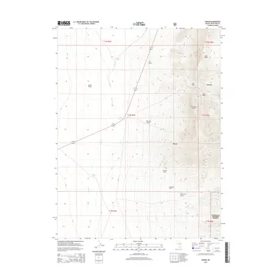 2014 Hogum2014 Print · USGSCovers Osceola, including Hogum, White Pine County, and other nearby areas
 - 2018 Map of Hogum, 2018 Print
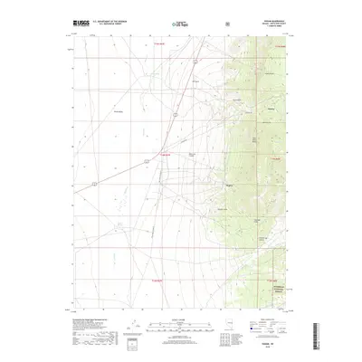 2018 Hogum2018 Print · USGSCovers Osceola, including Hogum, White Pine County, and other nearby areas
 - 2021 Map of Hogum, 2021 Print
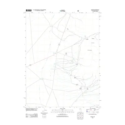
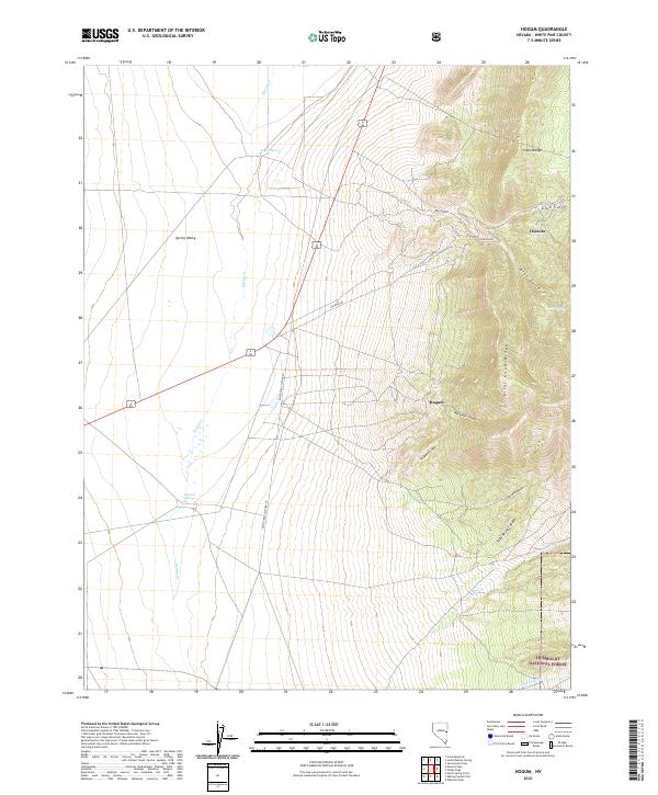 2021 Hogum2021 Print · USGSThe eastern slopes of the Snake Range are shown here as they appeared in the early 2020s, bridging the high peaks and the floor of Spring Valley. Researchers can trace old routes like Osceola Rd and locate vital water sources at Layton Spring and Willard Springs.
End of results
Showing maps 1-10 of 10
Frequently asked questions
- What are the different types of historical maps available for Osceola?
- What is the oldest map of Osceola?
- Where can I purchase historical maps of Osceola for my home or office?
- Where can I download high-res historical maps of Osceola?
- Are there historical topographic maps available for Osceola?
- Is there historical aerial imagery available for Osceola?
- Where are historical maps of Osceola sourced from?