Old Maps of Tippett, Nevada for Academic Research
Study the evolution of Tippett with 9 high-resolution historic maps. Whether you're teaching, researching, or modeling changes in land use, these maps provide essential visual documentation of urban, environmental, and geographic change.
- Analyze long-term change: Track patterns in development, transportation, and natural features.
- Ideal for environmental or urban studies: Support academic projects with primary historical map data.
- Use in the classroom or lab: Educators and researchers rely on these maps to bring historical context to life.
These maps are a powerful tool for teaching, research, and visualizing how Tippett has changed over the decades.
Tippett, NV maps
(9)- 1956 Map of Ely, 1968 Print
 1956 Ely1968 Print · USGSEastern Nevada in the mid-fifties is a land of massive mountain ranges and silver-boom history. Trace the legacy of mining ruins at Hamilton and Treasure City or follow the path of the Nevada Northern RR through Ely.5 unique versions available
 - 1959 Map of Ely
 1959 Ely1959 Print · USGSEastern Nevada's high desert reveals its mining heart and pioneer ranching outposts during the late fifties. Genealogists and historians can trace family-named outposts like Goicoechea Ranch or explore the ruins of former silver-mining hubs like Hamilton and Treasure City.2 unique versions available
 - 1963 Map of Ely
 1963 Ely1963 Print · USGSEastern Nevada's high basins and mountain ranges are captured here in the early sixties, showing a landscape defined by mining and ranching. Trace family roots at the Thompson Ranch or follow the Nevada Northern Railroad through Steptoe Valley.
 - 1986 Map of Tippett
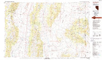
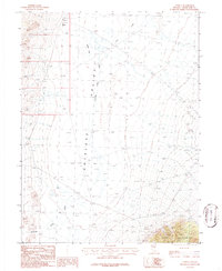 1986 Tippett1986 Print · USGSEastern Nevada's high-desert basin near Tippett is captured here during the mid-1980s. Researchers can trace remote 4WD trails and seasonal water features like Tippett Lake, Blind Spring, and the Sand Dunes.
 - 1988 Map of Kern Mountains
 1988 Kern Mountains1988 Print · USGSThe high-desert basins of the Nevada-Utah border are captured here in the late eighties, documenting a remote landscape of mining and ranching. Researchers can trace historic travel routes through Schellbourne Pass or locate the site of Cherry Creek Station and Stonehouse.2 unique versions available
 - 2012 Map of Tippett, 2012 Print
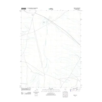 2012 Tippett2012 Print · USGSCovers Tippett, including White Pine County, United States, and other nearby areas
 - 2014 Map of Tippett, 2014 Print
 2014 Tippett2014 Print · USGSCovers Tippett, including White Pine County, United States, and other nearby areas
 - 2018 Map of Tippett, 2018 Print
 2018 Tippett2018 Print · USGSCovers Tippett, including White Pine County, United States, and other nearby areas
 - 2021 Map of Tippett, 2021 Print
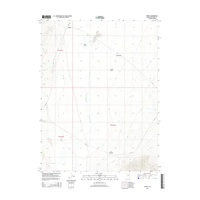
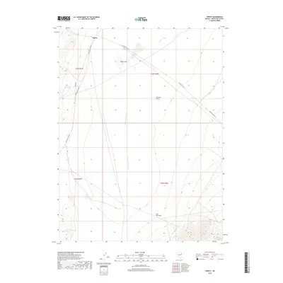
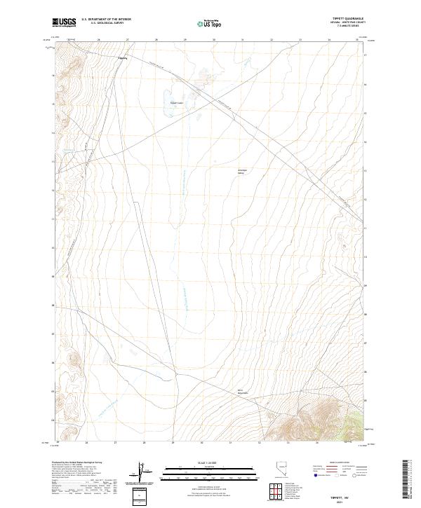 2021 Tippett2021 Print · USGSThe high desert of eastern Nevada is captured here in the early twenty-first century, centered on the historic crossroads at Tippett. Genealogists and historians can trace the remote drainage patterns of Antelope Valley Wash and the ascent into the Kern Mountains.
End of results
Showing maps 1-9 of 9
Frequently asked questions
- What are the different types of historical maps available for Tippett?
- What is the oldest map of Tippett?
- Where can I purchase historical maps of Tippett for my home or office?
- Where can I download high-res historical maps of Tippett?
- Are there historical topographic maps available for Tippett?
- Is there historical aerial imagery available for Tippett?
- Where are historical maps of Tippett sourced from?